
MyTopo
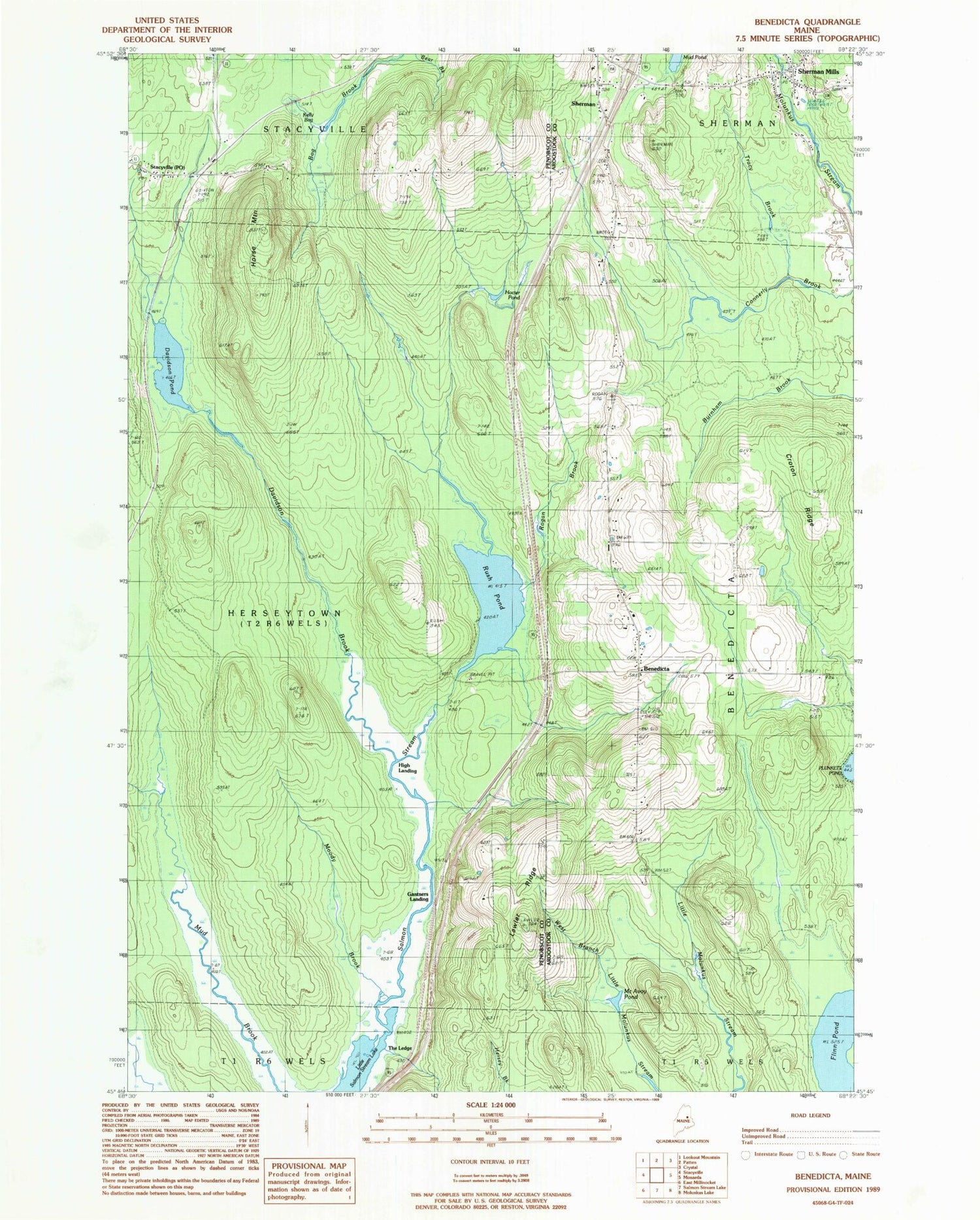
Classic USGS Benedicta Maine 7.5'x7.5' Topo Map
Couldn't load pickup availability
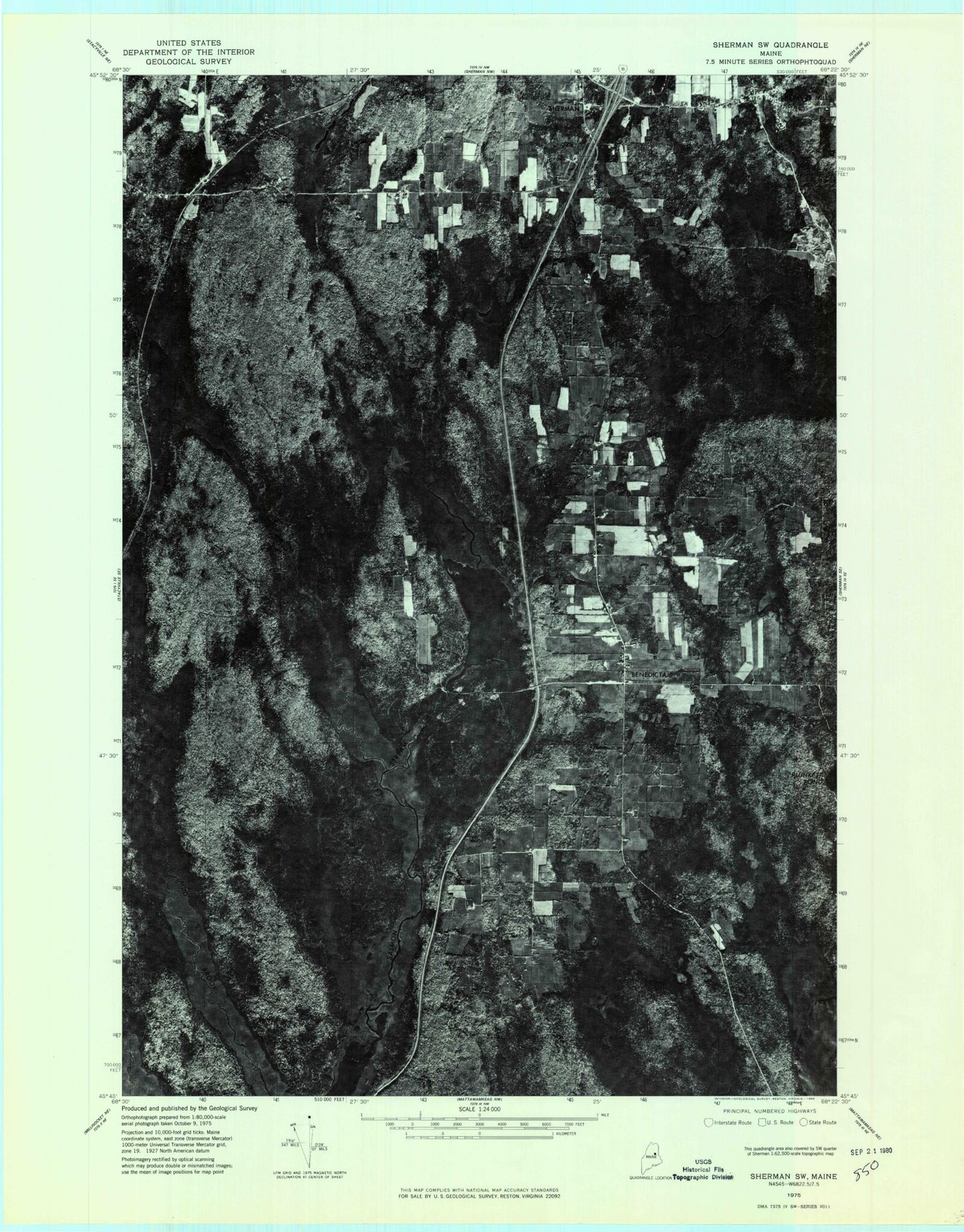
Historical USGS topographic quad map of Benedicta in the state of Maine. Map scale is 1:24000. Print size is approximately 24" x 27"
This quadrangle is in the following counties: Aroostook, Penobscot.
The map contains contour lines, roads, rivers, towns, and lakes. Printed on high-quality waterproof paper with UV fade-resistant inks, and shipped rolled.
Contains the following named places: Benedicta, Benedicta Elementary School, Benedicta Post Office, Benedicts Parish Church, Bog Brook, Croton Ridge, Davidson (historical), Davidson Brook, Davidson Pond, Flinn Pond, Gantners Landing, Herseytown Township, High Landing, Hocter Pond, Horse Mountain, Kelly Bog, Lawler Ridge, Little Salmon Stream Lake, McAvoy Pond, Moody Brook, Rogan Brook, Rush Pond, Saint Benedict Cemetery, Sherman, Sherman Cemetery, Sherman Mills, Sherman Mills Post Office (historical), Sherman Post Office, Sherman Public Library, Sherman Volunteer Fire Department, Stacyville Post Office, The Ledge, Tracy Brook