MyTopo
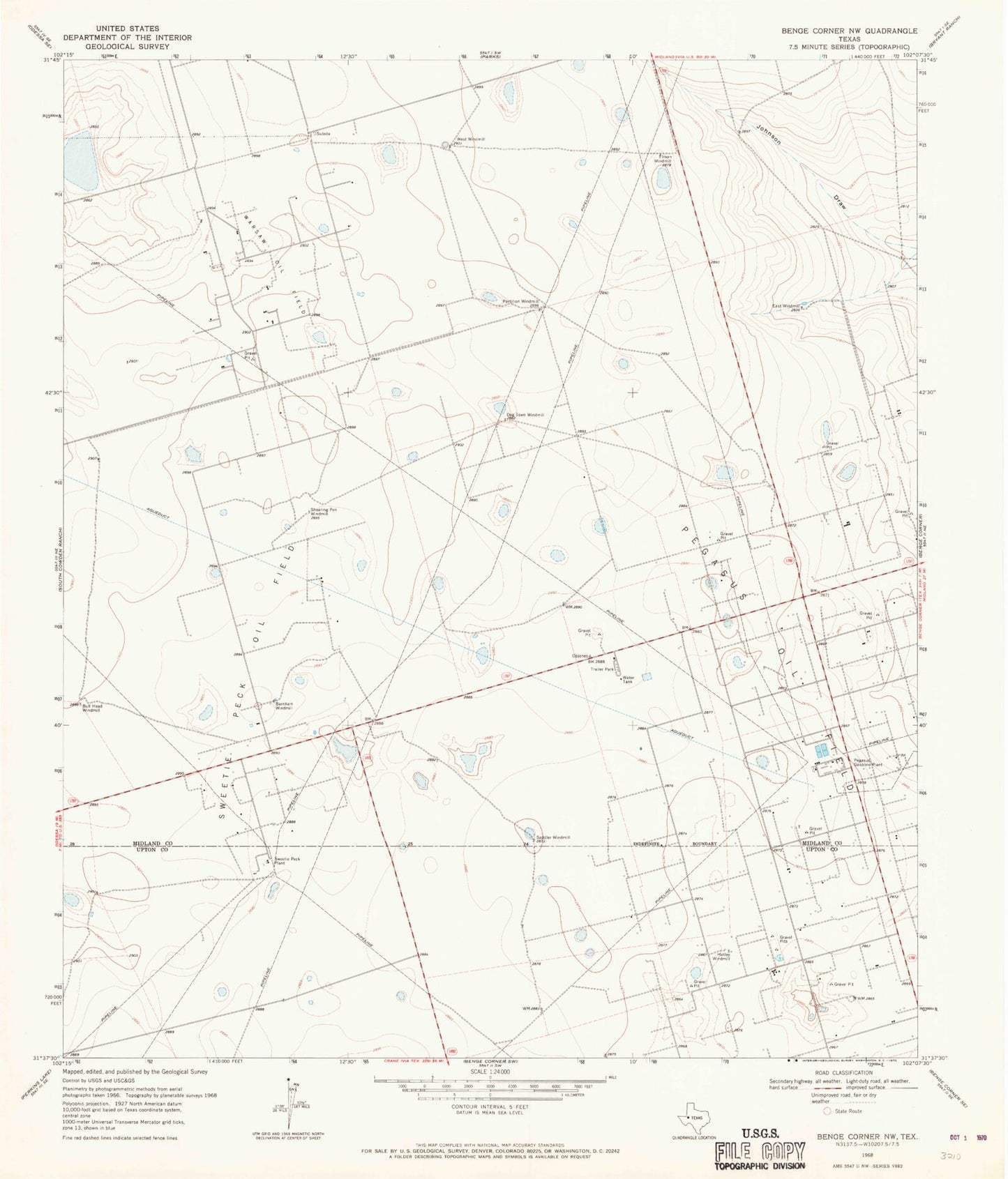
Classic USGS Benge Corner NW Texas 7.5'x7.5' Topo Map
Couldn't load pickup availability
Historical USGS topographic quad map of Benge Corner NW in the state of Texas. Map scale may vary for some years, but is generally around 1:24,000. Print size is approximately 24" x 27"
This quadrangle is in the following counties: Midland, Upton.
The map contains contour lines, roads, rivers, towns, and lakes. Printed on high-quality waterproof paper with UV fade-resistant inks, and shipped rolled.
Contains the following named places: Barnhart Windmill, Bull Head Windmill, Dog Town Windmill, Eagles Nest Gliderport, East Windmill, Hatley Windmill, Iraan Windmill, Partition Windmill, Pegasus Gasoline Plant, Pegasus Oil Field, Saddler Windmill, Shearing Pen Windmill, Sweetie Peck Oil Field, Sweetie Peck Plant, Warsaw Oil Field, West Windmill