MyTopo
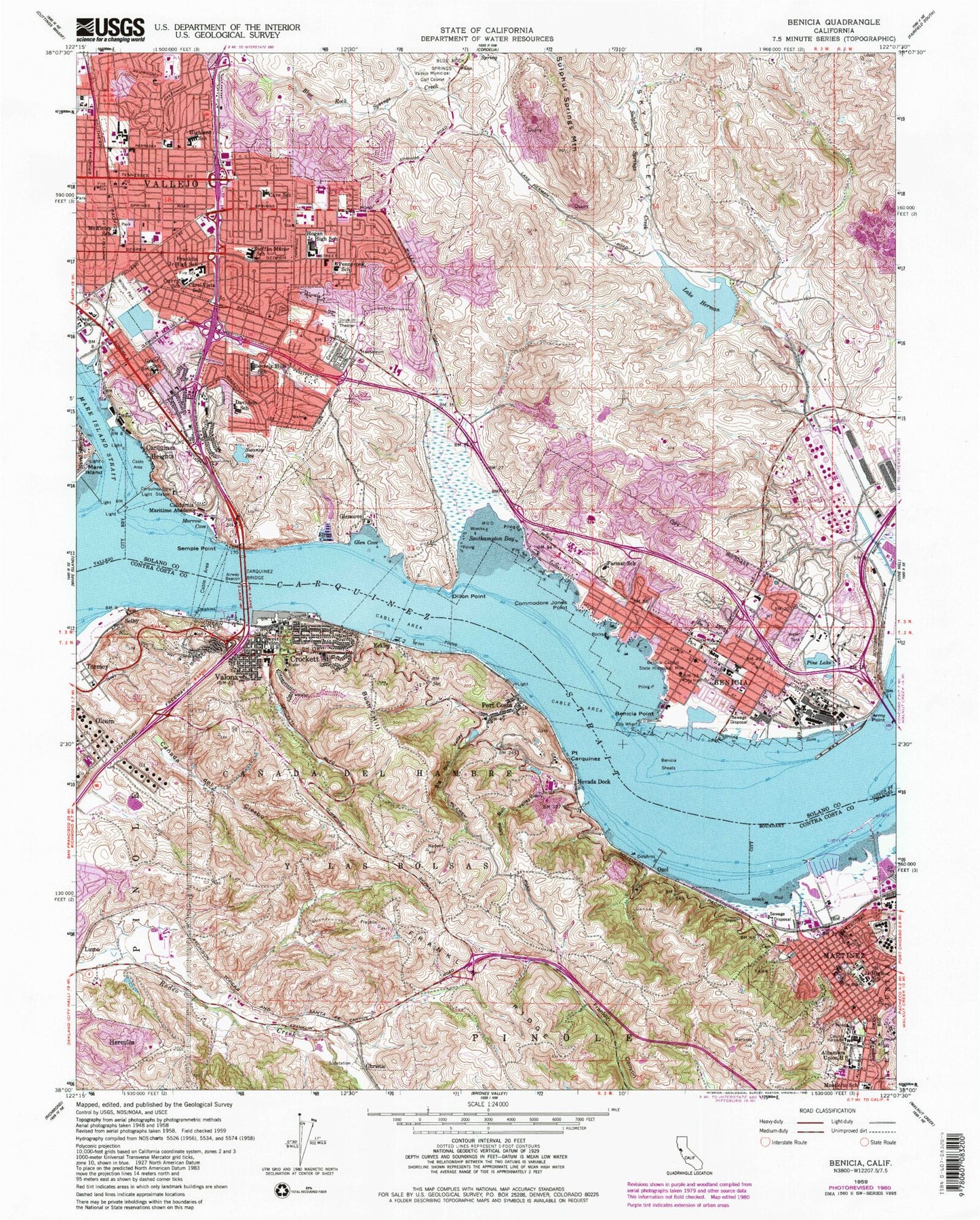
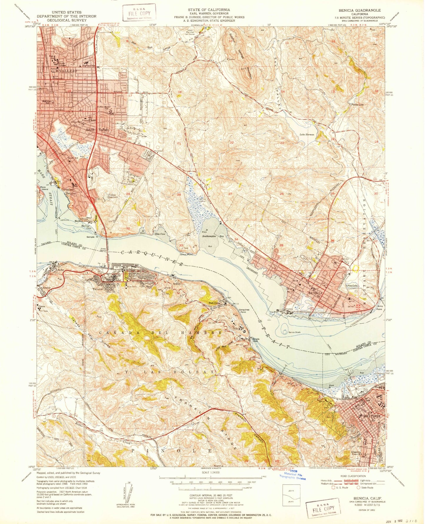
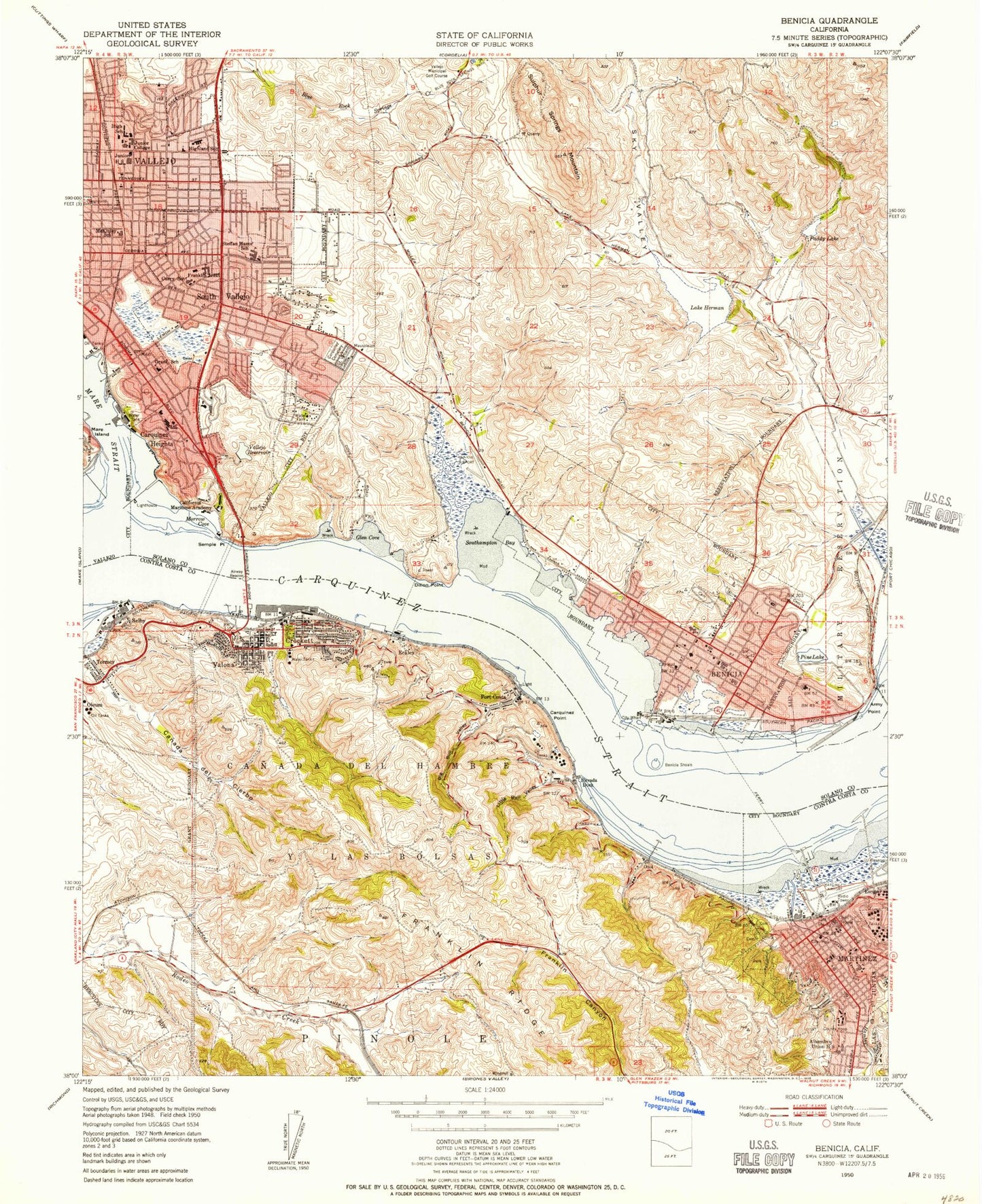
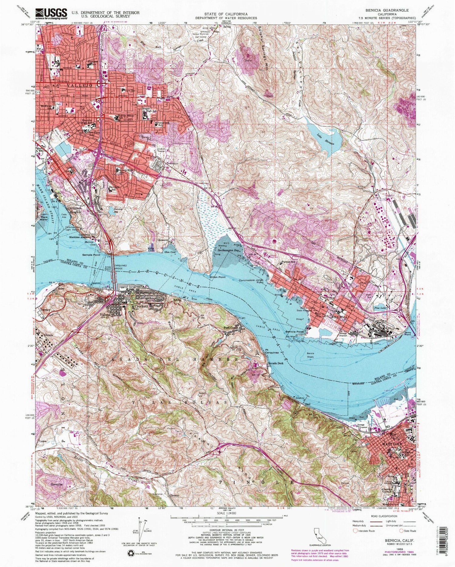
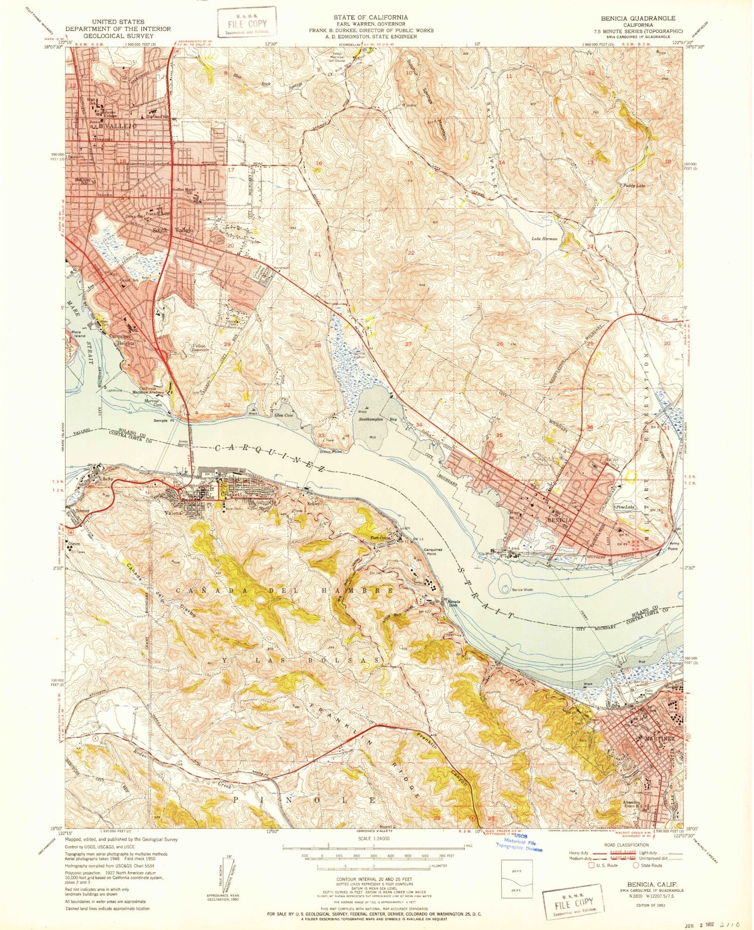
Classic USGS Benicia California 7.5'x7.5' Topo Map
Couldn't load pickup availability
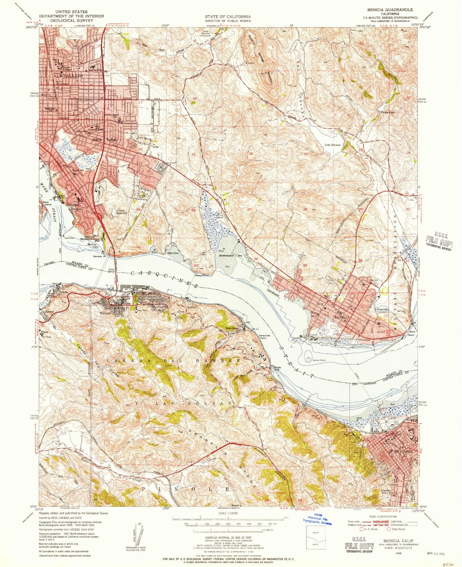
Historical USGS topographic quad map of Benicia in the state of California. Map scale may vary for some years, but is generally around 1:24,000. Print size is approximately 24" x 27"
This quadrangle is in the following counties: Contra Costa, Solano.
The map contains contour lines, roads, rivers, towns, and lakes. Printed on high-quality waterproof paper with UV fade-resistant inks, and shipped rolled.
Contains the following named places: A Station Vallejo Post Office, Alexander Park, Alhambra Cemetery, Alhambra Senior High School, All Souls Catholic Cemetery, Amador Park, Annie Pennycook Elementary School, Army Point, Arroyo del Hambre, Benicia, Benicia Arsenal and Barracks, Benicia Arsenal Post Cemetery, Benicia Capitol State Historic Park, Benicia Capitol State Historical Monument, Benicia City Cemetery, Benicia City Hall, Benicia Fire Department Station 1, Benicia Fire Department Station 2, Benicia High School, Benicia Industrial Park, Benicia Middle School, Benicia Point, Benicia Police Department, Benicia Post Office, Benicia Primary School, Benicia Public Library, Benicia Shoals, Benicia State Recreation Area, Beverly Hills Elementary School, Beverly Hills Park, Bible Baptist Church, Big Bull Valley, Blue Rock Springs Park, Bush Hill, C and H Sugar Company Fire Department, California House, California Maritime Academy, California Maritime Academy Library, Canada Del Cierbo, Canada Del Hambre Y Las Bolsas, Carol Vista School, Carquinez Bridge, Carquinez Cemetery, Carquinez Heights, Carquinez Middle School, Carquinez Strait, Carquinez Strait Lighthouse, Carquinez Strait Regional Shoreline, Castlewood Park, Christ Lutheran Church, Christie, Church of God in Christ, Church of the Nazarene, City of Benicia, Commodore Jones Point, Contra Costa Community College District Office, Contra Costa County Adminstration Building, Contra Costa County Courthouse, Contra Costa County Fire Protection District Station 14, Contra Costa County Hall of Records, Contra Costa County Jail, Contra Costa County Sheriff's Office Martinez, Contra Costa Regional Medical Center, Court Post Office, Crockett, Crockett - Carquinez Fire Department Station 77, Crockett - Carquinez Fire Department Station 78, Crockett - Carquinez Fire Department Station 79, Crockett Baptist Church, Crockett Branch Contra Costa County Library, Crockett Census Designated Place, Crockett Historical Museum, Crockett Marina, Crockett Post Office, Crolona Heights, Curry School, Dillon Point, Doctor James R Hogan Senior High School, Duncan Graham Park, Eckley, Elliot Cove, Elliott Cove Marina, Elmer Cave Elementary School, Fairmont Park, First Baptist Church, First Christian Church, First Church of Christ, First Church of Christ Scientist, First Congregational Church, First Presbyterian Church, Fischer-Hanlon House, Fitzgerald Field, Flemingtowne Shopping Center, Francesca Terrace Park, Franklin Canyon Golf Course, Franklin Junior High School, George Gordon Education Center, Glen Cove, Glen Cove Elementary School, Glen Cove Marina, Glen Cove Park, Glen Cove Waterfront Park, Glencove, Grace Patterson Elementary School, Grant Mahoney Park, Grant School, Hanns Park, Highland Elementary School, Highlands Park, Hilltop Christian School, Jensen Park, Johannsens Square, John Davidson Elementary School, John Swett High School, King-South Vallejo Community Center, Lake Dalwigk, Lake Dalwigk Park, Lake Herman, Lake Herman 1028 Dam, Liberty High School, Little Bull Valley, Maria Field, Martinez, Martinez Adult Education School, Martinez Branch Contra Costa County Library, Martinez City Hall, Martinez Elementary School, Martinez Historical Museum, Martinez Junior High School, Martinez Municipal Park, Martinez Police Department, Martinez Regional Shoreline Park, Martinez Waterfront Park, Martinez Yacht Harbor, Mary Farmar Elementary School, McKinley School, Merrithew Memorial Hospital, Mills College, Mills Elementary School, Morrow Cove, Napa River, Nevada Dock, Ninth Street Park, North Hills Christian School, Oleum, Overlook Park, Ozol, P R D 449 Dam, Parkway Plaza Shopping Center, Peabody Hospital, Pine Lake, Pine Lake 1028-003 Dam, Plaza Del Hambre, Point Carquinez, Port Costa, Port Costa 1580 Dam, Port Costa Census Designated Place, Port Costa Community Center, Port Costa Post Office, Port Costa School, Port of Benicia, Puddy Lake, Redwood Square Shopping Center, Ribiero Field, Ricks Memorial Park, Rithel Park, Rizza Auditorium, Robert Semple Elementary School, Saint Augustines College, Saint Basil Elementary School, Saint Catherine of Siena Catholic Cemetery, Saint Catherine of Siena Roman Catholic Church, Saint Catherine of Siena School, Saint Catherines Academy, Saint Dominics Cemetery, Saint Dominics Priory School, Saint Helena Hospital Center for Behavioral Health, Saint Marys College of the Pacific, Saint Patricks High School, Saint Patricks Roman Catholic Church, Saint Pauls Episcopal Church, Saint Pauls Square, Saint Rose Catholic Church, Saint Vincent Cemetery, Selby, Selby Census Designated Place, Selby Reservoir, Selby School, Semple Point, Seventh Day Adventist School, Sky Valley, Skyview Memorial Lawn, Solano County Jail, Solano County Sheriff's Office Substation, Solano Square Shopping Center, South Vallejo, Southampton Bay Wetland Natural Preserve, Southampton Park, Southampton Shopping Center, Southhampton Bay, Springstown Junior High School, Springstowne Post Office, Steffan Manor Elementary School, Suisun Point Channel, Sulphur Springs, Suribachi Hill, Susana Park, Swanzy Lake 14-005 Dam, Swanzy Reservoir, Tormey, Turner Shipyards, Twelfth Street Park, Valero Fire Department, Vallejo Adult School, Vallejo Division, Vallejo Fire Department Station 2, Vallejo Fire Department Station 4, Vallejo Fire Department Station 6, Vallejo High School, Vallejo Junction, Vallejo Middle School, Vallejo Municipal Golf Course, Vallejo Old City Historic District, Vallejo Plaza Shopping Center, Vallejo Police Department, Valona, Veterans Memorial Hall, Willow Park, Wilson Park, Woodhill Park, ZIP Codes: 94510, 94525, 94569, 94590, 94591
