MyTopo
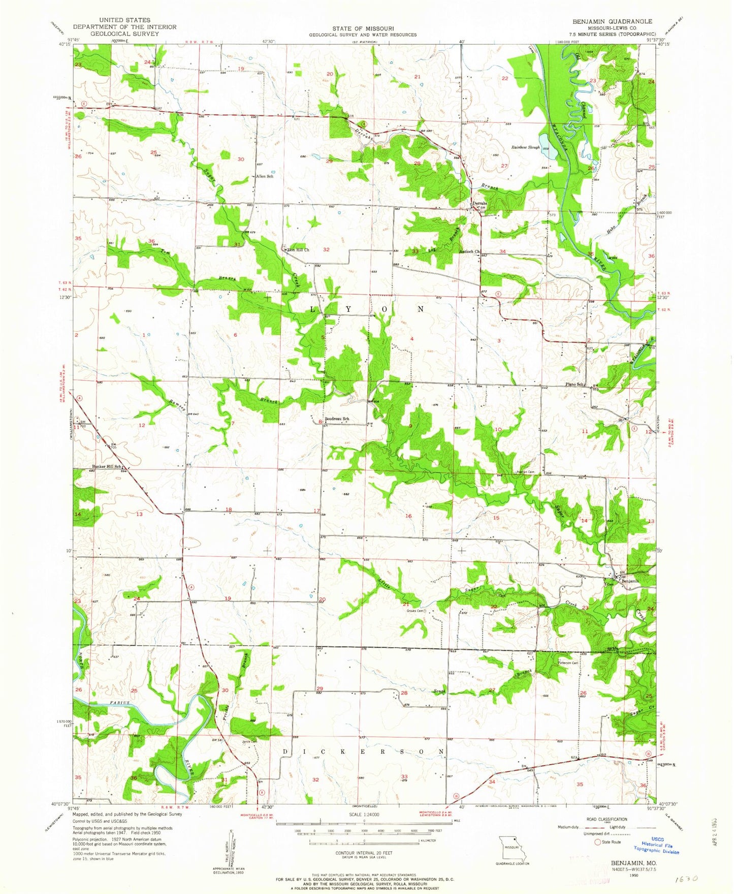
Classic USGS Benjamin Missouri 7.5'x7.5' Topo Map
Couldn't load pickup availability
Historical USGS topographic quad map of Benjamin in the state of Missouri. Map scale may vary for some years, but is generally around 1:24,000. Print size is approximately 24" x 27"
This quadrangle is in the following counties: Lewis.
The map contains contour lines, roads, rivers, towns, and lakes. Printed on high-quality waterproof paper with UV fade-resistant inks, and shipped rolled.
Contains the following named places: Allen School, Antioch Church, Benjamin, Boudreau School, Bunker Hill, Bunker Hill School, Canton, Derrahs, Derrahs Branch, Derrahs School, Fretwell Branch, Graves Cemetery, Hahn Branch, Henton Cemetery, Jarvis Cemetery, Leg Branch, Lewis County Regional Airport, Little Sugar Creek, Old Channel Wyaconda River, Patterson Cemetery, Plano School, Prairie View Church, Providence School, Rainbow Slough, Ramsey Branch, South Branch Little Sugar Creek, Tom Branch, Township of Lyon, Zion Hill Church, ZIP Code: 63457