MyTopo
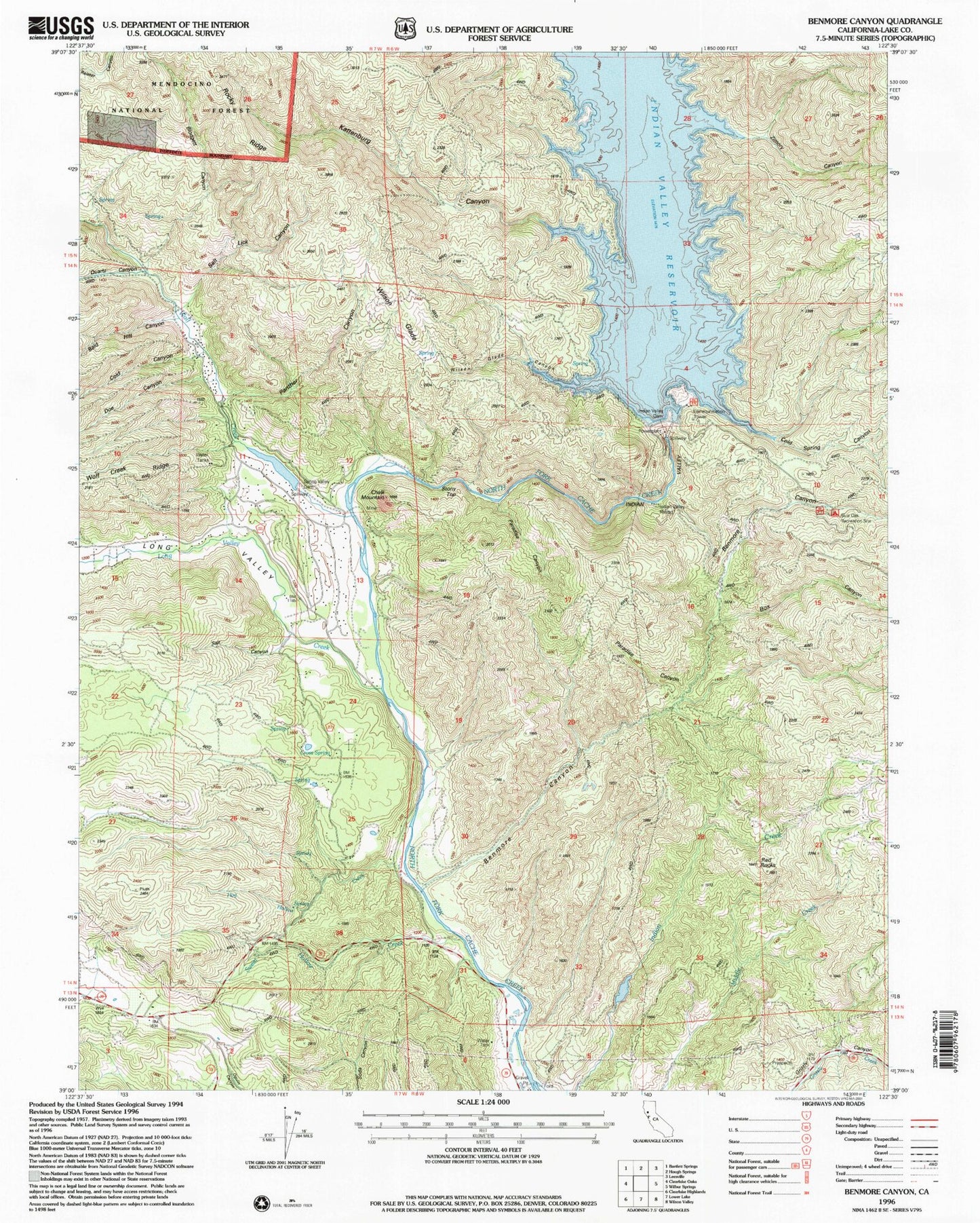
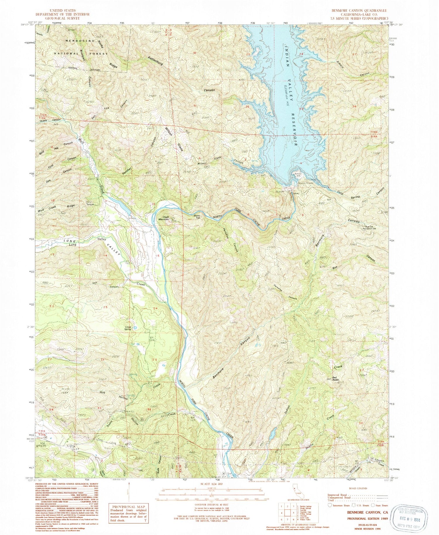
Classic USGS Benmore Canyon California 7.5'x7.5' Topo Map
Couldn't load pickup availability
Historical USGS topographic quad map of Benmore Canyon in the state of California. Typical map scale is 1:24,000, but may vary for certain years, if available. Print size: 24" x 27"
This quadrangle is in the following counties: Colusa, Lake.
The map contains contour lines, roads, rivers, towns, and lakes. Printed on high-quality waterproof paper with UV fade-resistant inks, and shipped rolled.
Contains the following named places: Bald Hill Canyon, Cold Canyon, Doe Canyon, Kattenburg Canyon, Long Valley, Long Valley Creek, Blodgett Canyon, Box Canyon, Chalk Mountain, Cold Spring Canyon, Cross Spring, Hog Hollow Creek, Kilpepper Creek, Little Indian Valley (historical), Panther Canyon, Paradise Canyon, Paradise Canyon, Quartz Canyon, Red Rocks, Salt Canyon, Salt Lick Canyon, Benmore Canyon, Stony Top, Sulphur Spring (historical), Sweet Hollow Creek, Wilson Glade, Wilson Glade Canyon, Wolf Creek, Zimory Canyon, Kowalski Spring Recreation Site, Blue Oak Recreation Site, Indian Valley Reservoir, Spring Valley 396 Dam, Indian Valley 1080-002 Dam, Cache Creek Rancheria (historical), Dow Ranch (historical), Spring Valley Census Designated Place, Northshore Fire Protection District Station 77 Spring Valley