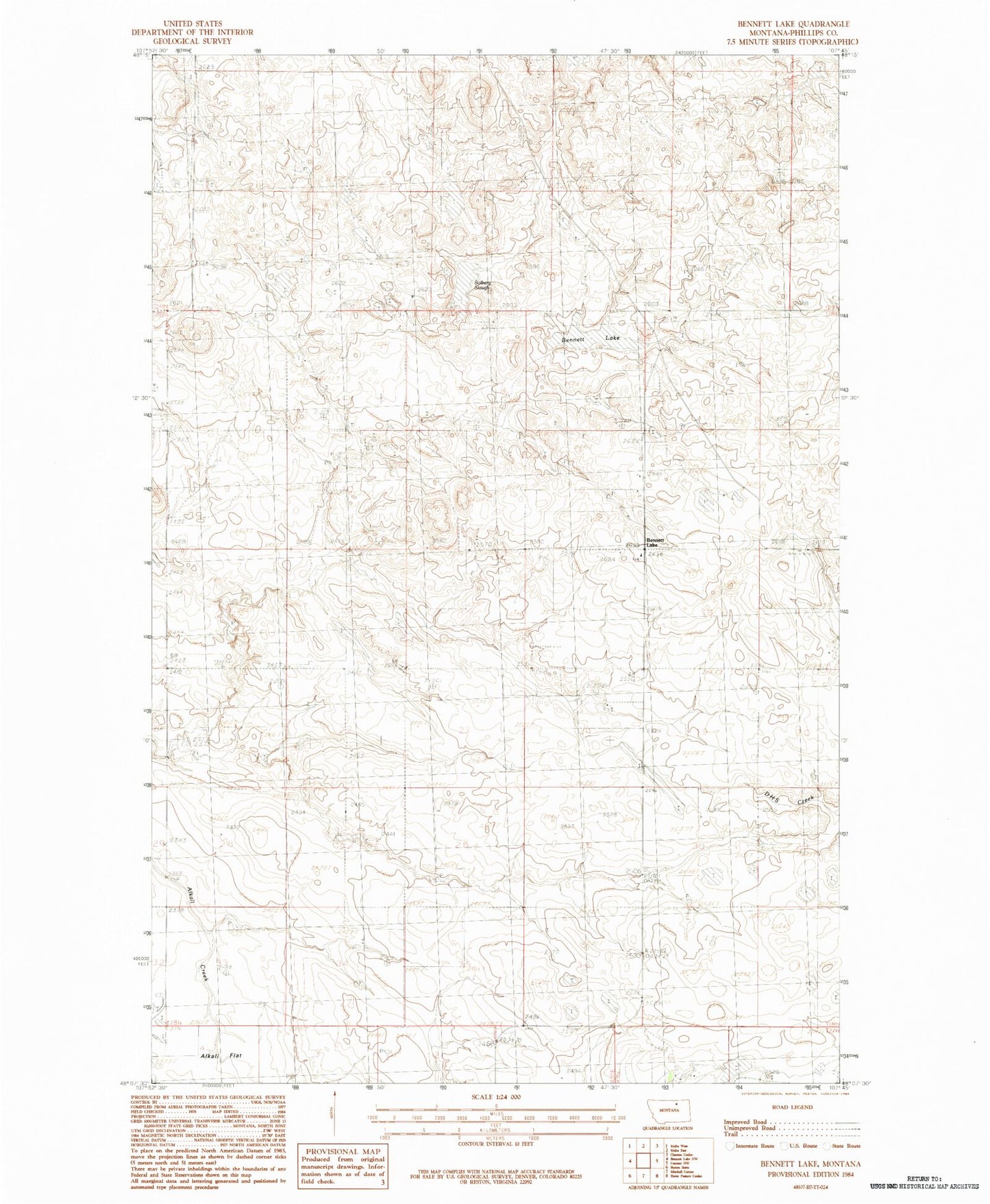
MyTopo
Classic USGS Bennett Lake Montana 7.5'x7.5' Topo Map
Regular price
$16.95
Regular price
Sale price
$16.95
Unit price
per
Couldn't load pickup availability
Historical USGS topographic quad map of Bennett Lake in the state of Montana. Map scale may vary for some years, but is generally around 1:24,000. Print size is approximately 24" x 27"
This quadrangle is in the following counties: Phillips.
The map contains contour lines, roads, rivers, towns, and lakes. Printed on high-quality waterproof paper with UV fade-resistant inks, and shipped rolled.
Contains the following named places: 29N30E27DCD_01 Well, Bennett Lake, Busy Bee School, Colen Dam, Higdem School, Lefdehl Dam, Nordberg School, Robinson Dam, Scandia Lutheran Church, Scandia Lutheran Church Cemetery, Solberg Slough, South Bench School