MyTopo
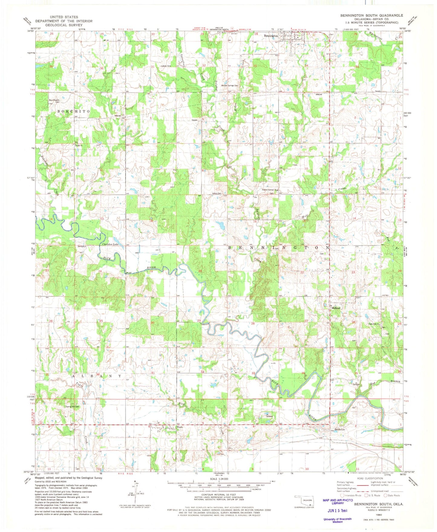
Classic USGS Bennington South Oklahoma 7.5'x7.5' Topo Map
Couldn't load pickup availability
Historical USGS topographic quad map of Bennington South in the state of Oklahoma. Map scale may vary for some years, but is generally around 1:24,000. Print size is approximately 24" x 27"
This quadrangle is in the following counties: Bryan.
The map contains contour lines, roads, rivers, towns, and lakes. Printed on high-quality waterproof paper with UV fade-resistant inks, and shipped rolled.
Contains the following named places: 6B Airfield, 74723, Arnett Church, Beames School, Blue Branch Cemetery, Bokchito Creek, Cherokee Lake, Chishoktak Church, Gregory Lake, Gregory Lake Dam, Julius Cemetery, Labors Cemetery, Manning School, McGee Creek, McGee Springs Cemetery, McIntire Lake, McIntire Lake Dam, Midland Church, Page Lake Dam, Red Branch, Sassafras Creek, Smith-Lee, Spring Hill Cemetery, Sulphur Creek, Sulphur Creek Church, Sulphur Springs Church, Township of Bennington, Wade, Wade Volunteer Fire Department, Wolf Creek