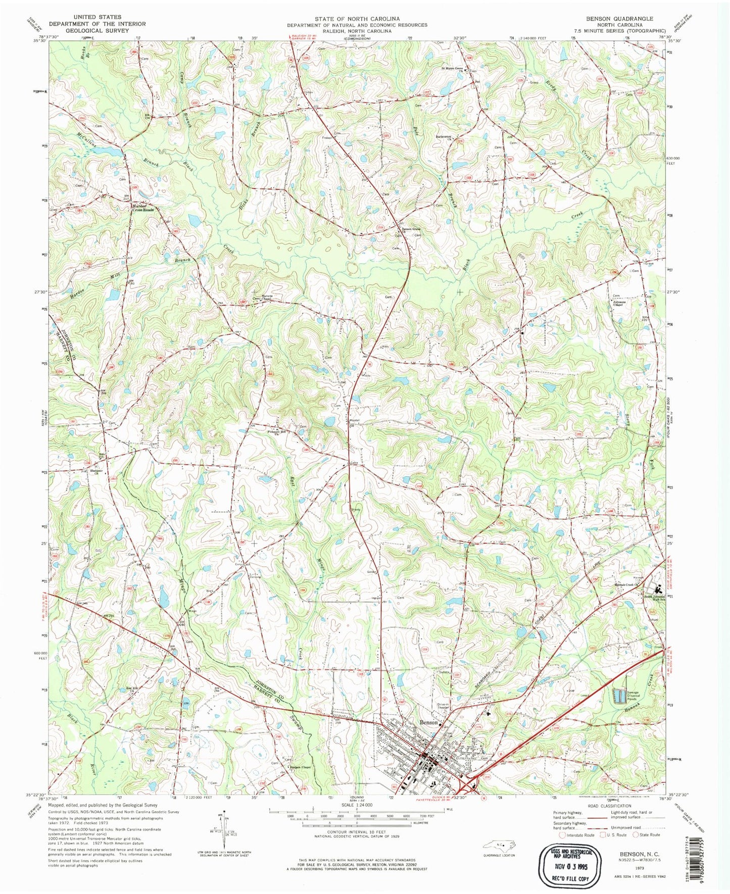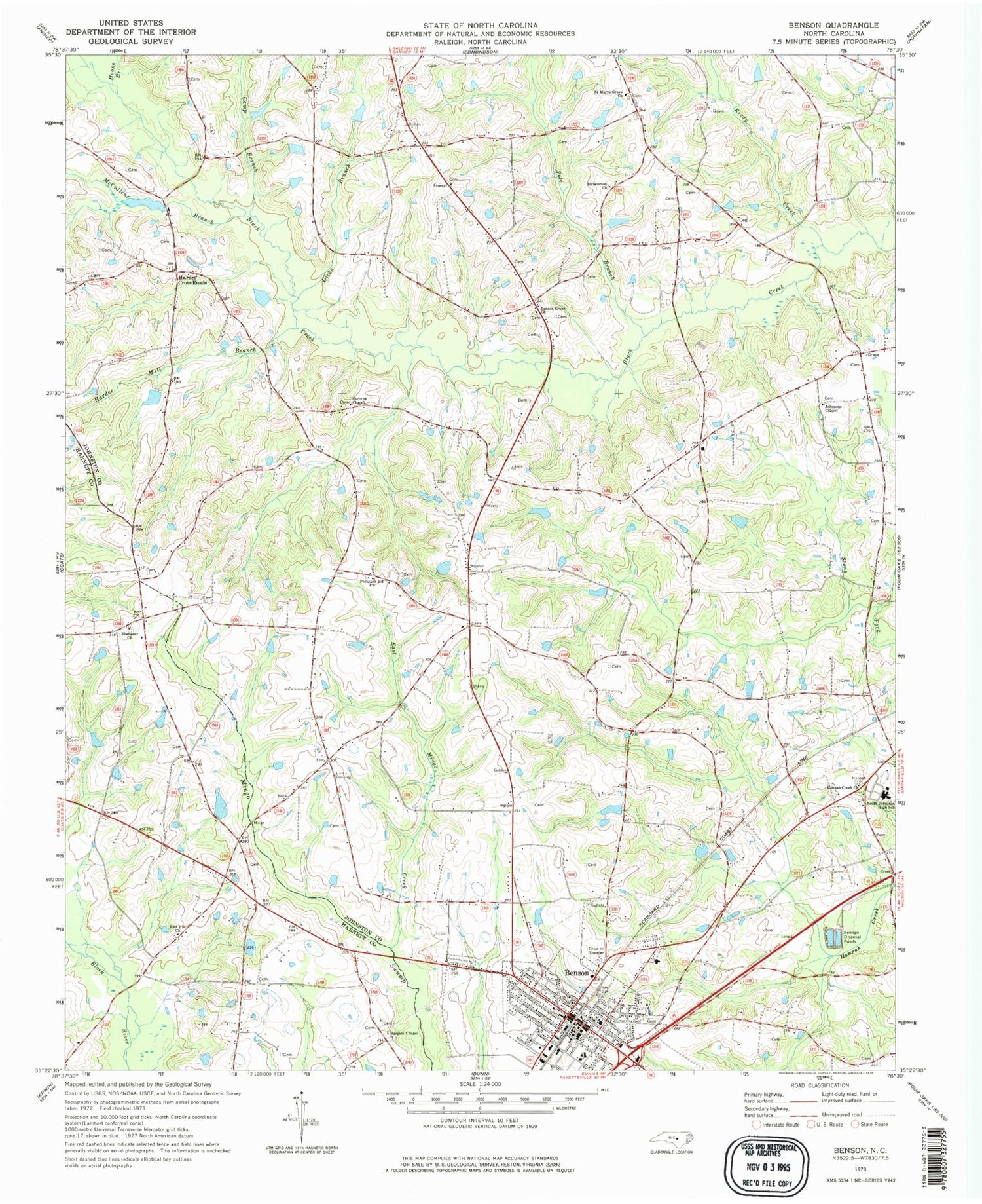
MyTopo
Classic USGS Benson North Carolina 7.5'x7.5' Topo Map
Couldn't load pickup availability
Historical USGS topographic quad map of Benson in the state of North Carolina. Map scale may vary for some years, but is generally around 1:24,000. Print size is approximately 24" x 27"
This quadrangle is in the following counties: Harnett, Johnston.
The map contains contour lines, roads, rivers, towns, and lakes. Printed on high-quality waterproof paper with UV fade-resistant inks, and shipped rolled.
Contains the following named places: Barbourton Church, Benson, Benson Elementary School, Benson Fire Department, Benson Grove Church, Benson Police Department, Benson Post Office, Camp Branch, Dicks Branch, East Mingo Creek, Ebenezer Church, Elevation Fire Department, G R Barbour Pond, G R Barbour Pond Dam, Hannah Creek Church, Hardee Cross Roads, Hardee Mill Branch, Hodges Chapel, Hooks Branch, Johnsons Chapel, Johnston County Emergency Medical Services Benson Main Station, Lassiter Pond, Macks, Massengill Mill Pond Dam, McCullens Branch, Pleasant Hill Church, Pole Branch, Red Hill Church, Reedy Creek, Saint Marys Grove Church, South Johnston High School, Stevens Chapel, Town of Benson, Township of Banner, Township of Elevation, West Johnston Fire Department, ZIP Code: 27504