MyTopo
Classic USGS Bentley Kansas 7.5'x7.5' Topo Map
Couldn't load pickup availability
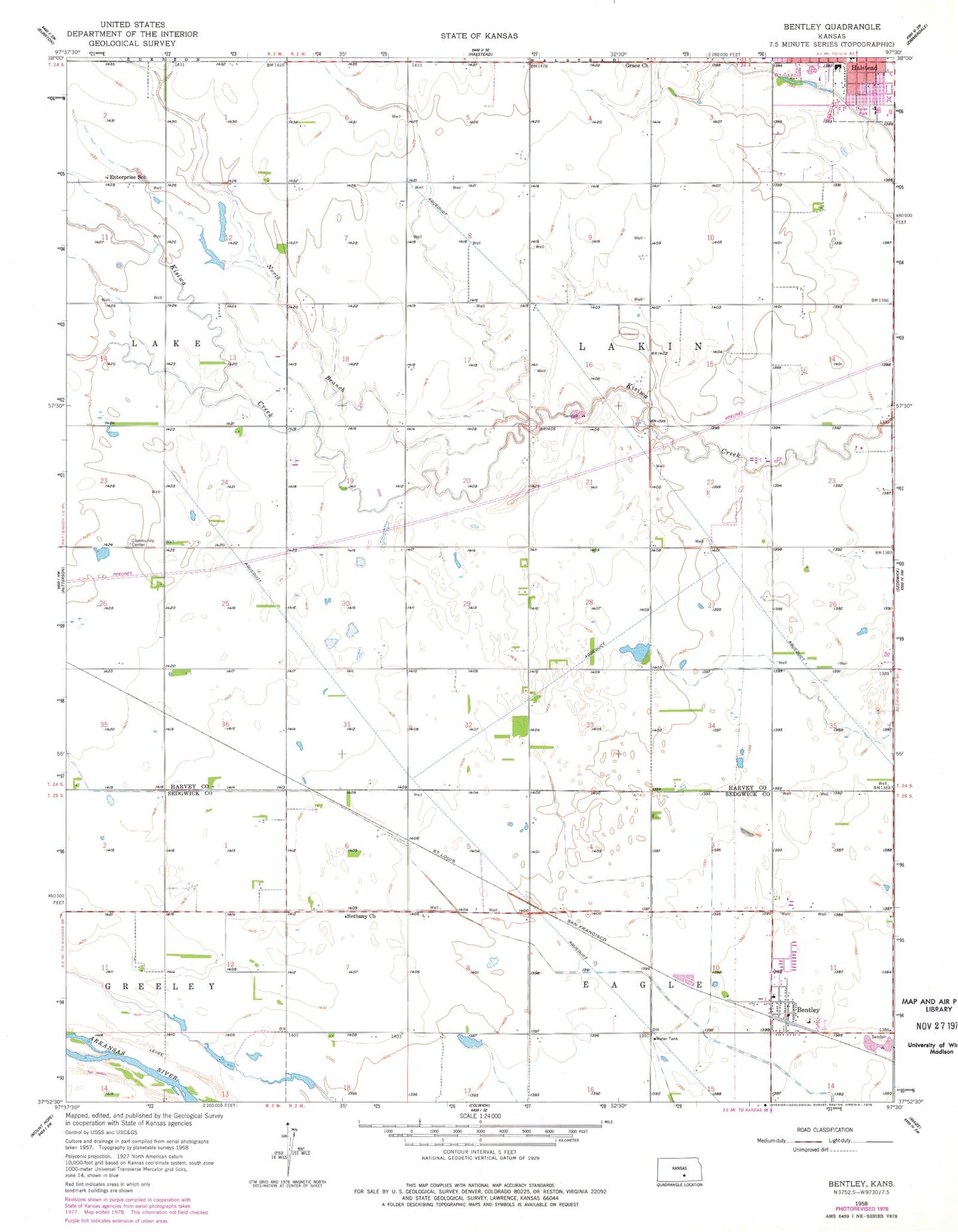
Historical USGS topographic quad map of Bentley in the state of Kansas. Map scale may vary for some years, but is generally around 1:24,000. Print size is approximately 24" x 27"
This quadrangle is in the following counties: Harvey, Sedgwick.
The map contains contour lines, roads, rivers, towns, and lakes. Printed on high-quality waterproof paper with UV fade-resistant inks, and shipped rolled.
Contains the following named places: Bentley, Bentley City Hall, Bentley Fire and Emergency Management Services, Bentley Police Department, Bentley Post Office, Bentley Primary School, Bentley United Methodist Church, Bethany Baptist Church, City of Bentley, City of Halstead, Enterprise School, Grace Mennonite Church, Halstead Baptist Church, Halstead High School, Halstead Middle School, KMTW - TV (Wichita), North Branch Kisiwa Creek, Township of Lakin, ZIP Code: 67016