MyTopo
Classic USGS Bentley Michigan 7.5'x7.5' Topo Map
Couldn't load pickup availability
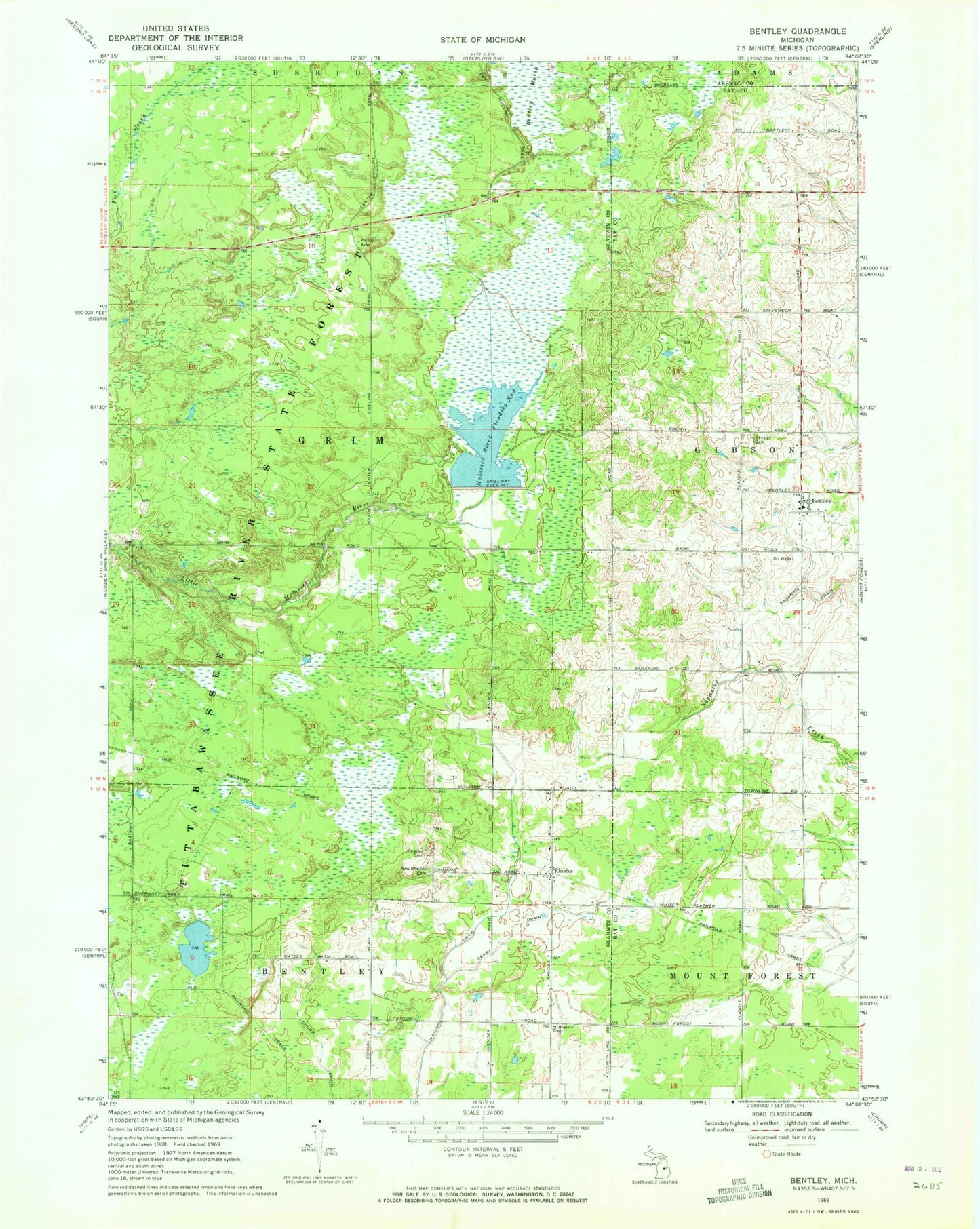
Historical USGS topographic quad map of Bentley in the state of Michigan. Typical map scale is 1:24,000, but may vary for certain years, if available. Print size: 24" x 27"
This quadrangle is in the following counties: Arenac, Bay, Gladwin.
The map contains contour lines, roads, rivers, towns, and lakes. Printed on high-quality waterproof paper with UV fade-resistant inks, and shipped rolled.
Contains the following named places: Bentley, Bentley Cemetery, Center Fireline Trail, Chubb Drain, Gear Drain, Hope Church, Molasses River Flooding Number Three, New Rhodes Cemetery, Rhodes, Rhodes Cemetery, Township of Grim, Rhodes Station (historical), Rhodes Post Office, Rhodes Missionary Church, Estey Seventh-Day Adventist Church, Hope Lutheran Cemetery, Community of Christ Church, Bentley United Methodist Church, Bentley Post Office, Glover Station (historical), Glover Post Office (historical), Gibson Township Fire Department Station