MyTopo
Classic USGS Benton Hot Springs California 7.5'x7.5' Topo Map
Regular price
$16.95
Regular price
Sale price
$16.95
Unit price
per
Couldn't load pickup availability
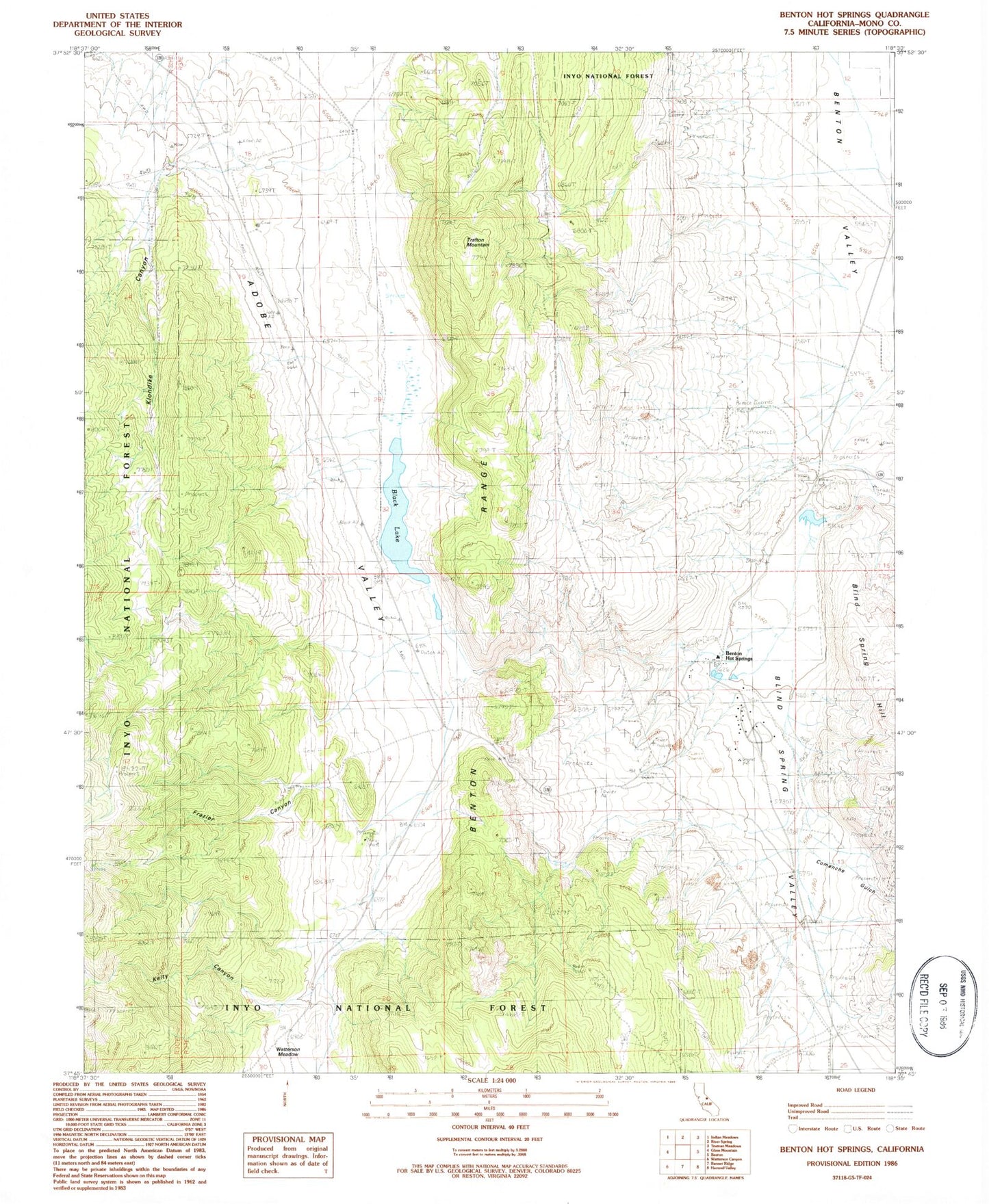
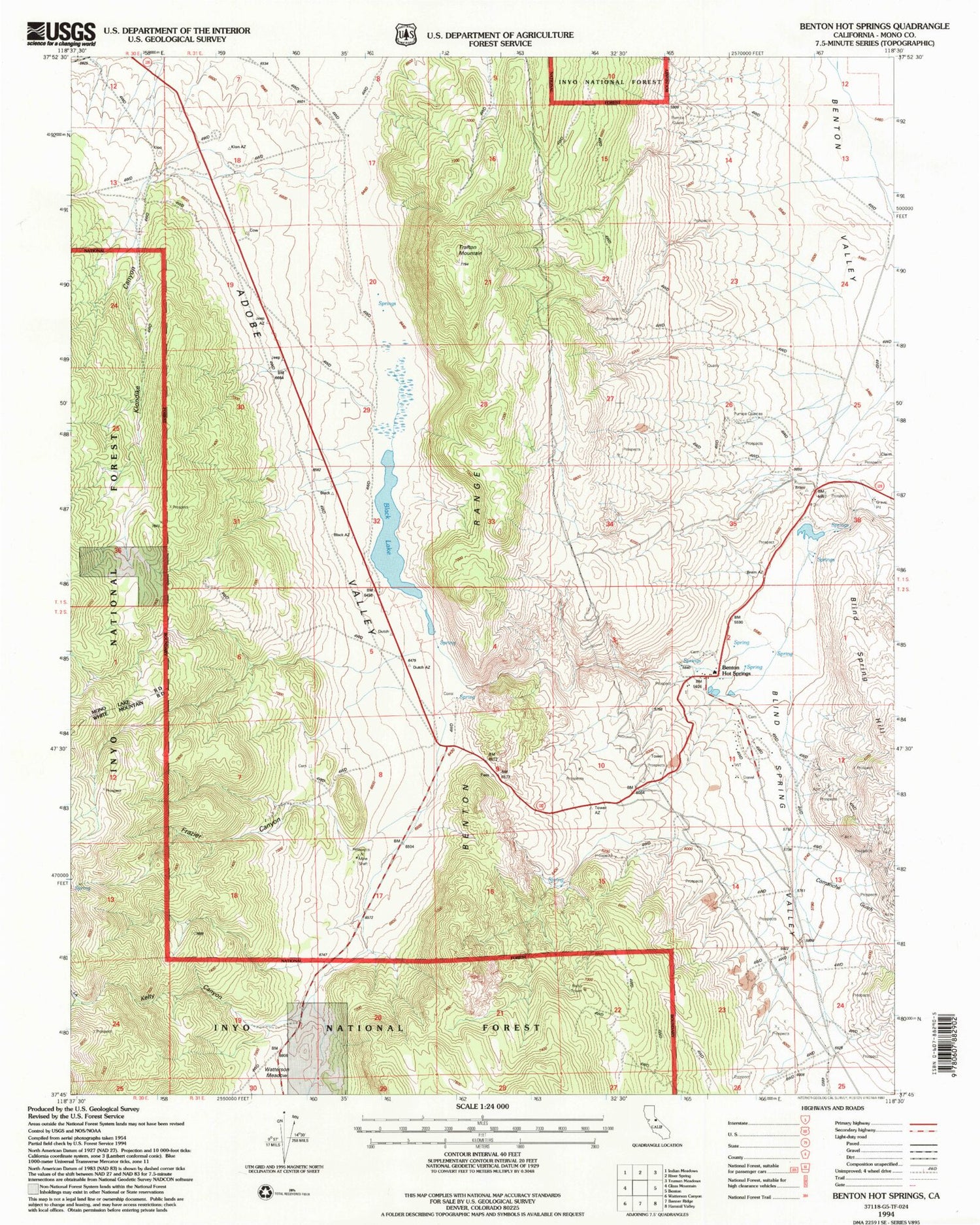
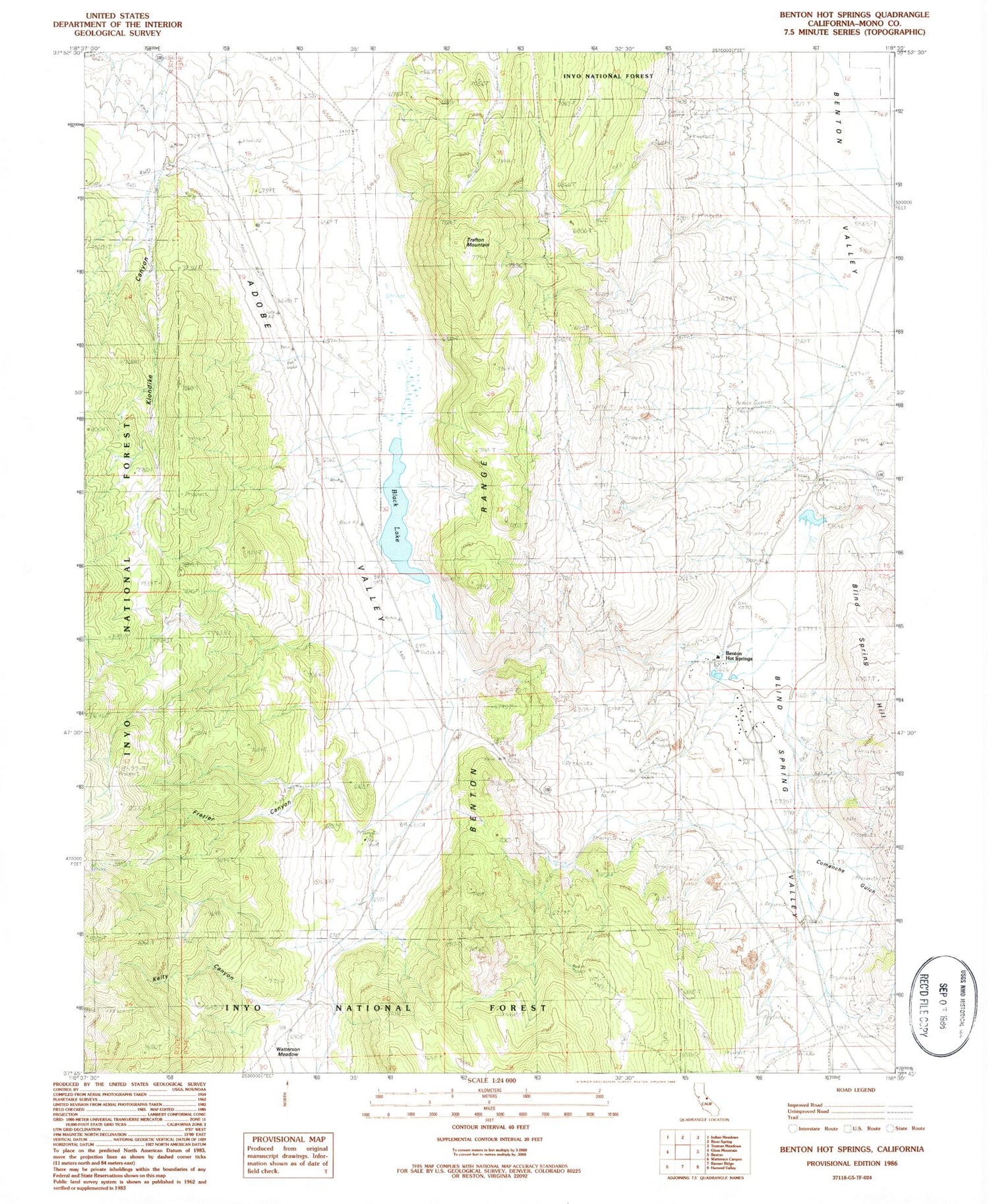
Historical USGS topographic quad map of Benton Hot Springs in the state of California. Map scale may vary for some years, but is generally around 1:24,000. Print size is approximately 24" x 27"
This quadrangle is in the following counties: Mono.
The map contains contour lines, roads, rivers, towns, and lakes. Printed on high-quality waterproof paper with UV fade-resistant inks, and shipped rolled.
Contains the following named places: Benton Hot Springs, Benton Hot Springs Cemetery, Benton Paiute Reservation, Black Lake, Blind Spring Valley, Comanche Gulch, Cowan Mine, Diana Gulch, Dutch Petes Ranch, Frazier Canyon, Kelty Canyon, Klondike Canyon, Trafton Mountain, Watterson Meadow