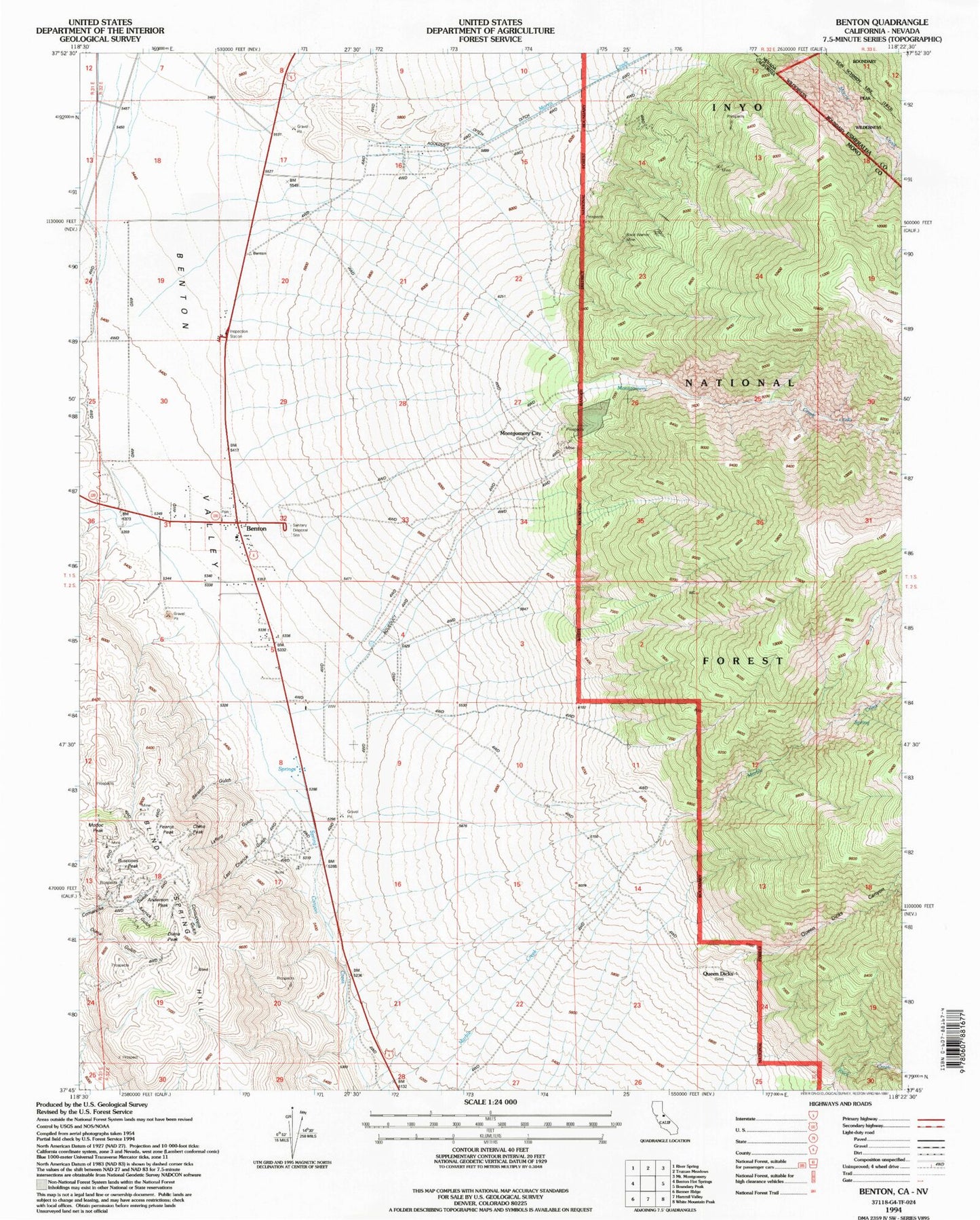
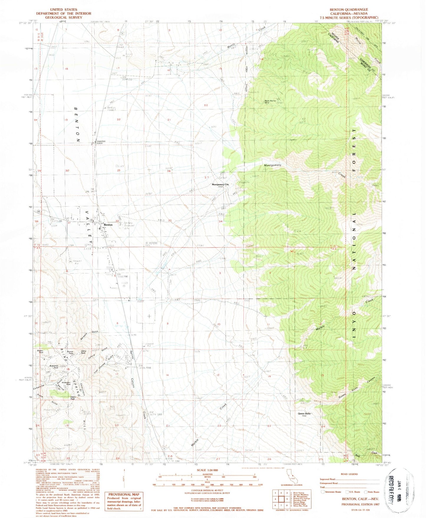
MyTopo
Classic USGS Benton California 7.5'x7.5' Topo Map
Couldn't load pickup availability
Historical USGS topographic quad map of Benton in the states of California, Nevada. Map scale may vary for some years, but is generally around 1:24,000. Print size is approximately 24" x 27"
This quadrangle is in the following counties: Esmeralda, Mono.
The map contains contour lines, roads, rivers, towns, and lakes. Printed on high-quality waterproof paper with UV fade-resistant inks, and shipped rolled.
Contains the following named places: Anderson Peak, Barasco Gulch, Benton, Benton Census Designated Place, Benton Valley, Black Warrior Mine, Blind Spring Hill, Buscones Peak, Comanche Mine, Cornucopia Gulch, Cornucopia Mine, Diana Peak, Edne Beaman Elementary School, Kerrick Gulch, Last Chance Gulch, Lynford Gulch, Modoc Peak, Montgomery City, Montgomery Creek, Morris Creek, Pearce Peak, Pedro Ranch, Queen Dicks, Queen Dicks Canyon, White Mountain Fire Protection District