MyTopo
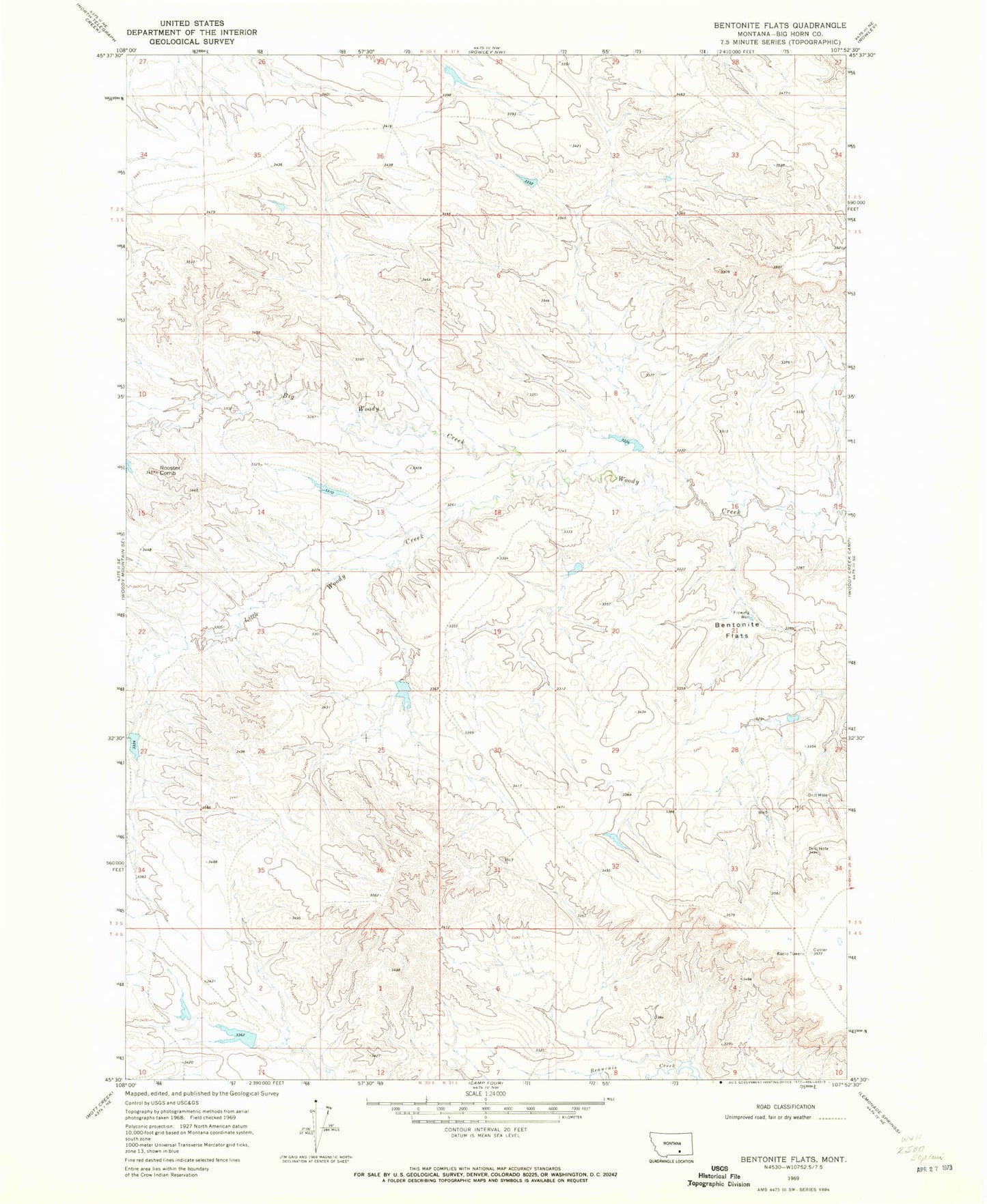
Classic USGS Bentonite Flats Montana 7.5'x7.5' Topo Map
Regular price
$16.95
Regular price
Sale price
$16.95
Unit price
per
Couldn't load pickup availability
Historical USGS topographic quad map of Bentonite Flats in the state of Montana. Map scale may vary for some years, but is generally around 1:24,000. Print size is approximately 24" x 27"
This quadrangle is in the following counties: Big Horn.
The map contains contour lines, roads, rivers, towns, and lakes. Printed on high-quality waterproof paper with UV fade-resistant inks, and shipped rolled.
Contains the following named places: 03S31E34BC__01 Well, Bentonite Flats, Big Woody Creek, Coibson Number 1 Dam, Crow Number 20 Dam, Crow Number 32 Dam, Crow Number 36 Dam, Crow Number 42 Dam, J R Scott Number 12 Dam, Little Woody Creek