MyTopo
Classic USGS Benwood Mississippi 7.5'x7.5' Topo Map
Couldn't load pickup availability
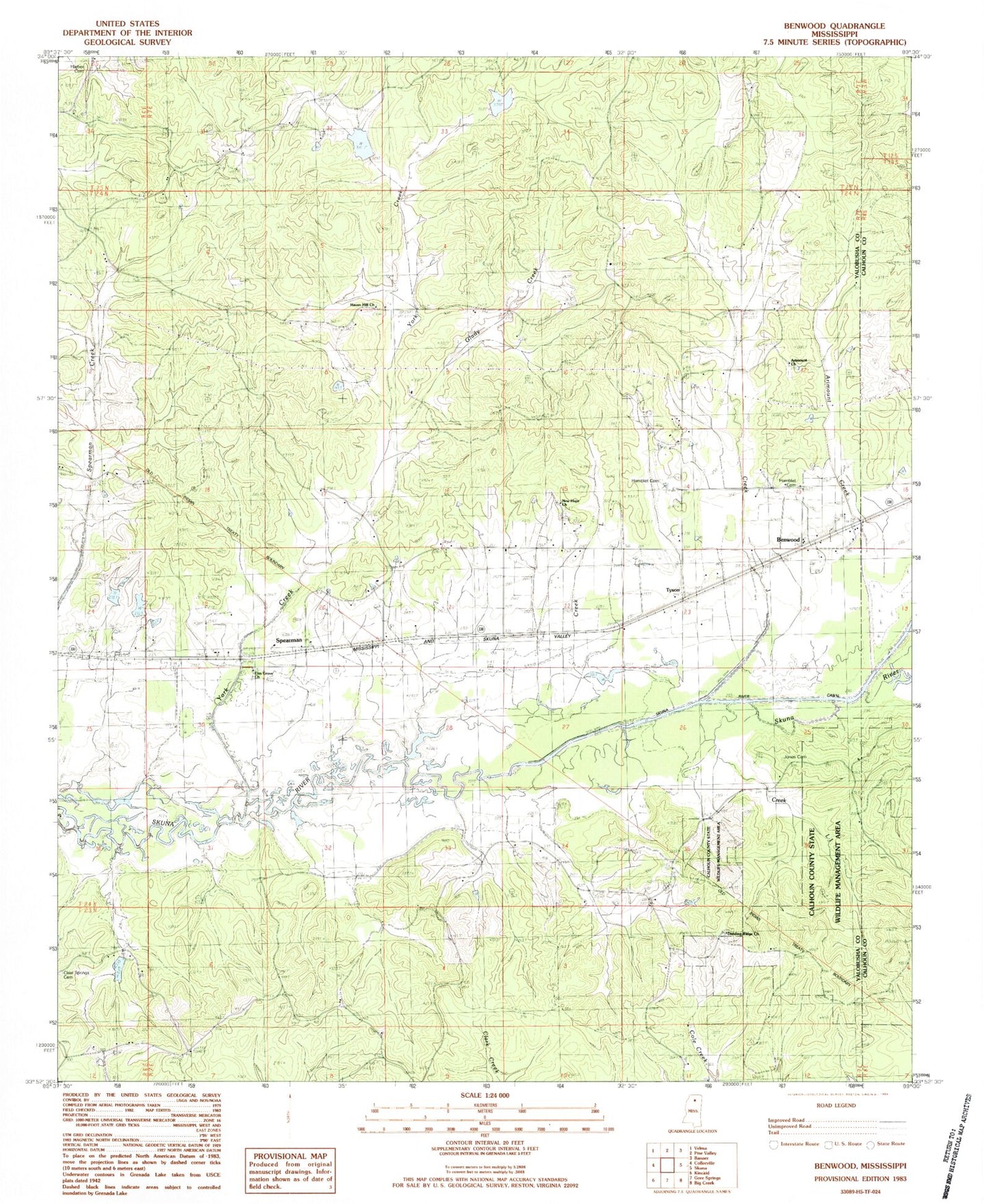
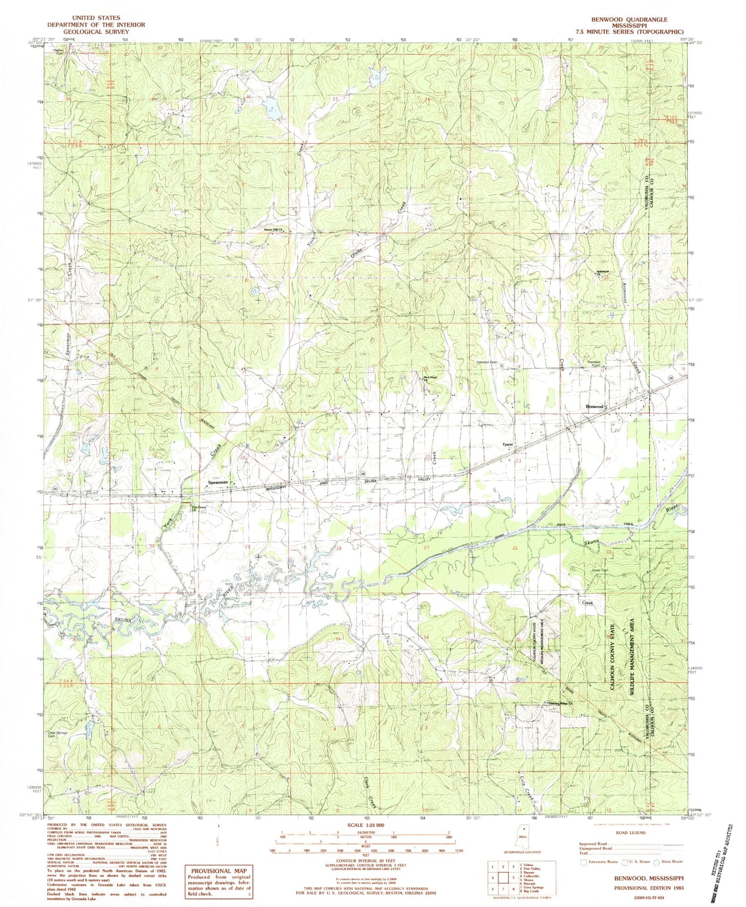
Historical USGS topographic quad map of Benwood in the state of Mississippi. Map scale may vary for some years, but is generally around 1:24,000. Print size is approximately 24" x 27"
This quadrangle is in the following counties: Calhoun, Yalobusha.
The map contains contour lines, roads, rivers, towns, and lakes. Printed on high-quality waterproof paper with UV fade-resistant inks, and shipped rolled.
Contains the following named places: Air Mount, Airmount Church, Airmount School, Arimount Cemetery, Arimount Creek, Benwood, Brooms Cemetery, Clear Springs Cemetery, Clear Springs Church, Clear Springs Volunteer Fire Department, Dividing Ridge Cemetery, Dividing Ridge Church, Elm Grove Cemetery, Elm Grove Church, Glady Creek, Hamblet Cemetery, Hamblet Church, Harbor Cemetery, Haven Hill Cemetery, Haven Hill Church, Honey Cut, Hyde, Jones Cemetery, Jones Creek, Jones Mills, New Hope, New Hope Cemetery, New Hope Missionary Baptist Church, Pate Branch, Post Oak, Skuna River Canal, Skuna Valley Volunteer Fire Department, Spearman, Turkey Creek Watershed Y-20-39 Dam, Turkey Creek Watershed Y-20-73 Dam, Tyson, York Creek