MyTopo
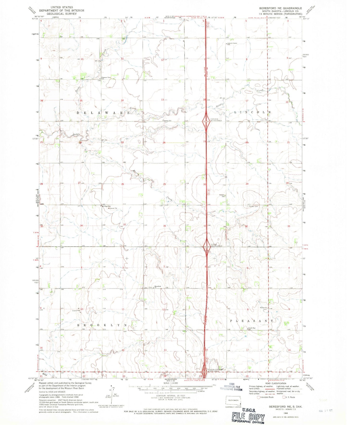
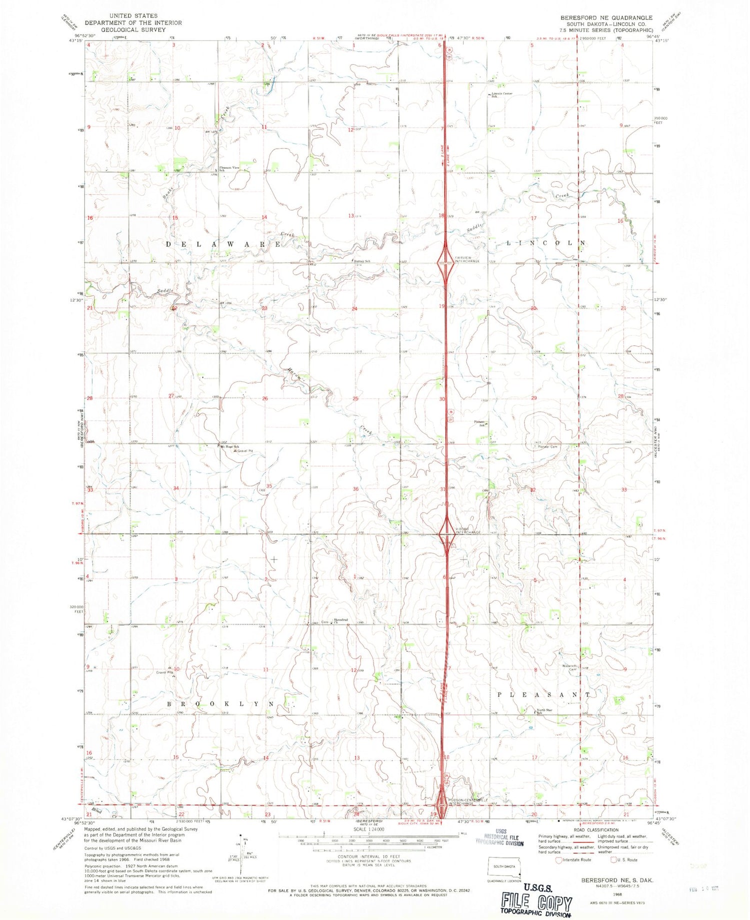
Classic USGS Beresford NE South Dakota 7.5'x7.5' Topo Map
Couldn't load pickup availability
Historical USGS topographic quad map of Beresford NE in the state of South Dakota. Map scale may vary for some years, but is generally around 1:24,000. Print size is approximately 24" x 27"
This quadrangle is in the following counties: Lincoln.
The map contains contour lines, roads, rivers, towns, and lakes. Printed on high-quality waterproof paper with UV fade-resistant inks, and shipped rolled.
Contains the following named places: Burney School, Haram, Haram Creek, Leeville, Lincoln Center School, Lincoln Centre, Mount Hope School, Nazareth Cemetery, North Star School, Pioneer Cemetery, Pioneer School, Pleasant View School, Skrefsrud Lutheran Church Cemetery, Skresfrud Church, Snake Creek, Township of Brooklyn, Township of Delaware