MyTopo
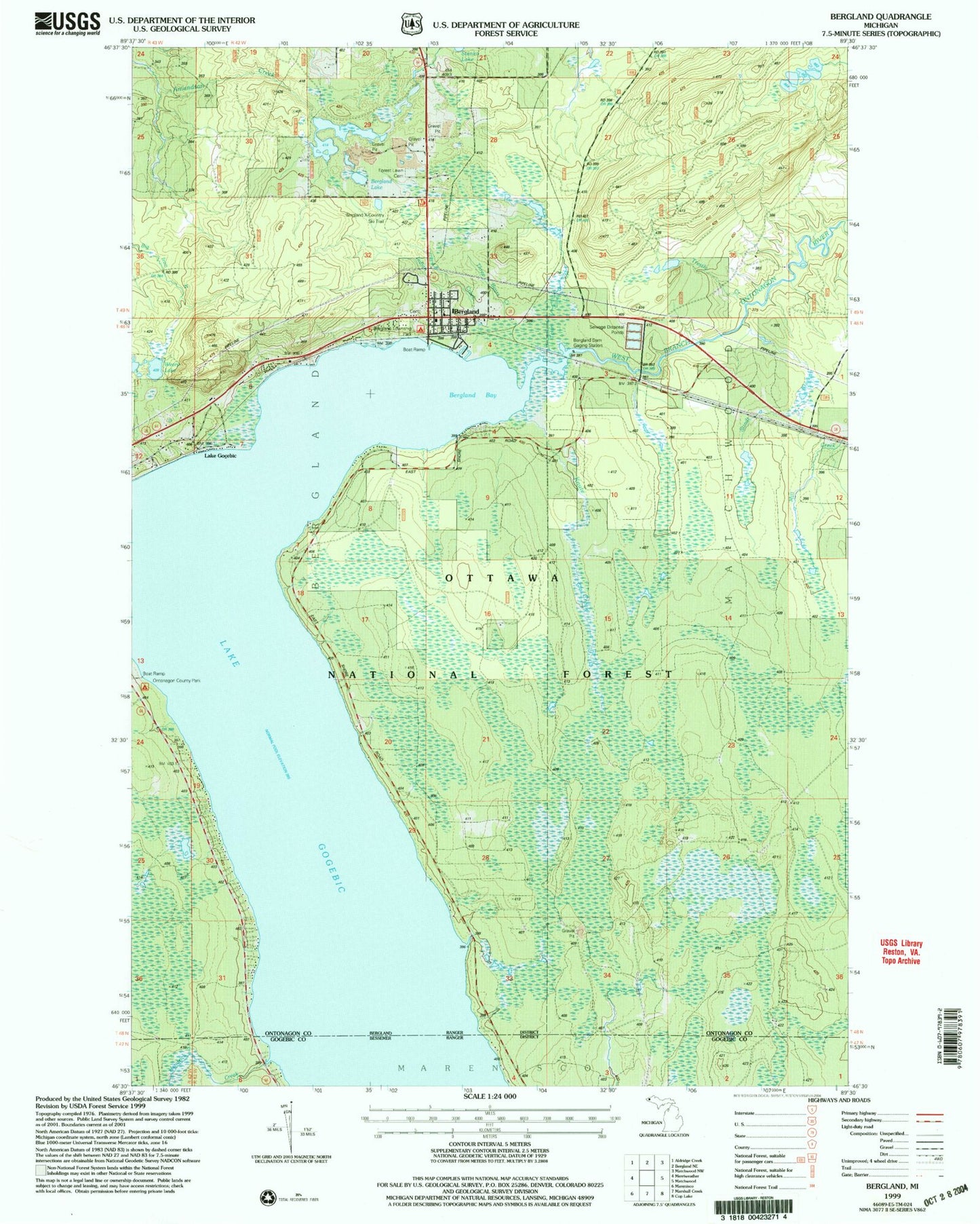
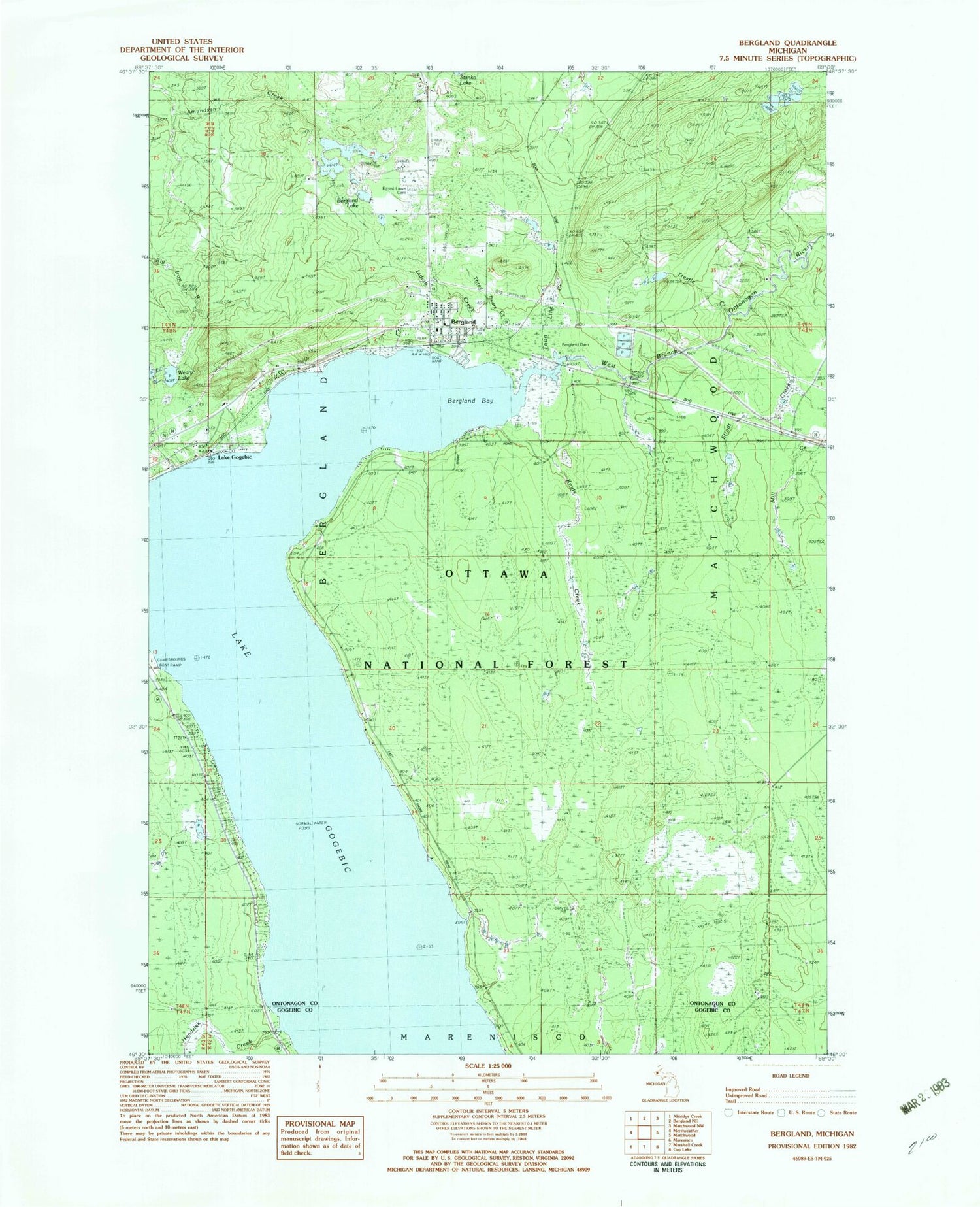
Classic USGS Bergland Michigan 7.5'x7.5' Topo Map
Couldn't load pickup availability
Historical USGS topographic quad map of Bergland in the state of Michigan. Map scale may vary for some years, but is generally around 1:24,000. Print size is approximately 24" x 27"
This quadrangle is in the following counties: Gogebic, Ontonagon.
The map contains contour lines, roads, rivers, towns, and lakes. Printed on high-quality waterproof paper with UV fade-resistant inks, and shipped rolled.
Contains the following named places: Bergland, Bergland Bay, Bergland Census Designated Place, Bergland Cross-Country Ski Trail, Bergland Post Office, Bergland Station, Bergland Township Fire Department, Bergland Township Park Picnic Area, Berland Lake, Calvary Baptist Church, Forest Lawn Cemetery, Gogebic - Ontonagon ISD Special Education, Hendrick Creek, Knute Creek, Lake Gogebic, Lake Gogebic Census Designated Place, Lake Gogebic Post Office, Lake Gogebic Station, Lakeview Cemetery, Ontonagon County Park, Ontonagon County Park Campground and Picnic Area, Stindt Creek, Three Bears Creek, Town Line Creek, Trestle Creek, Trinity Lutheran Church, Weary Lake, ZIP Code: 49910