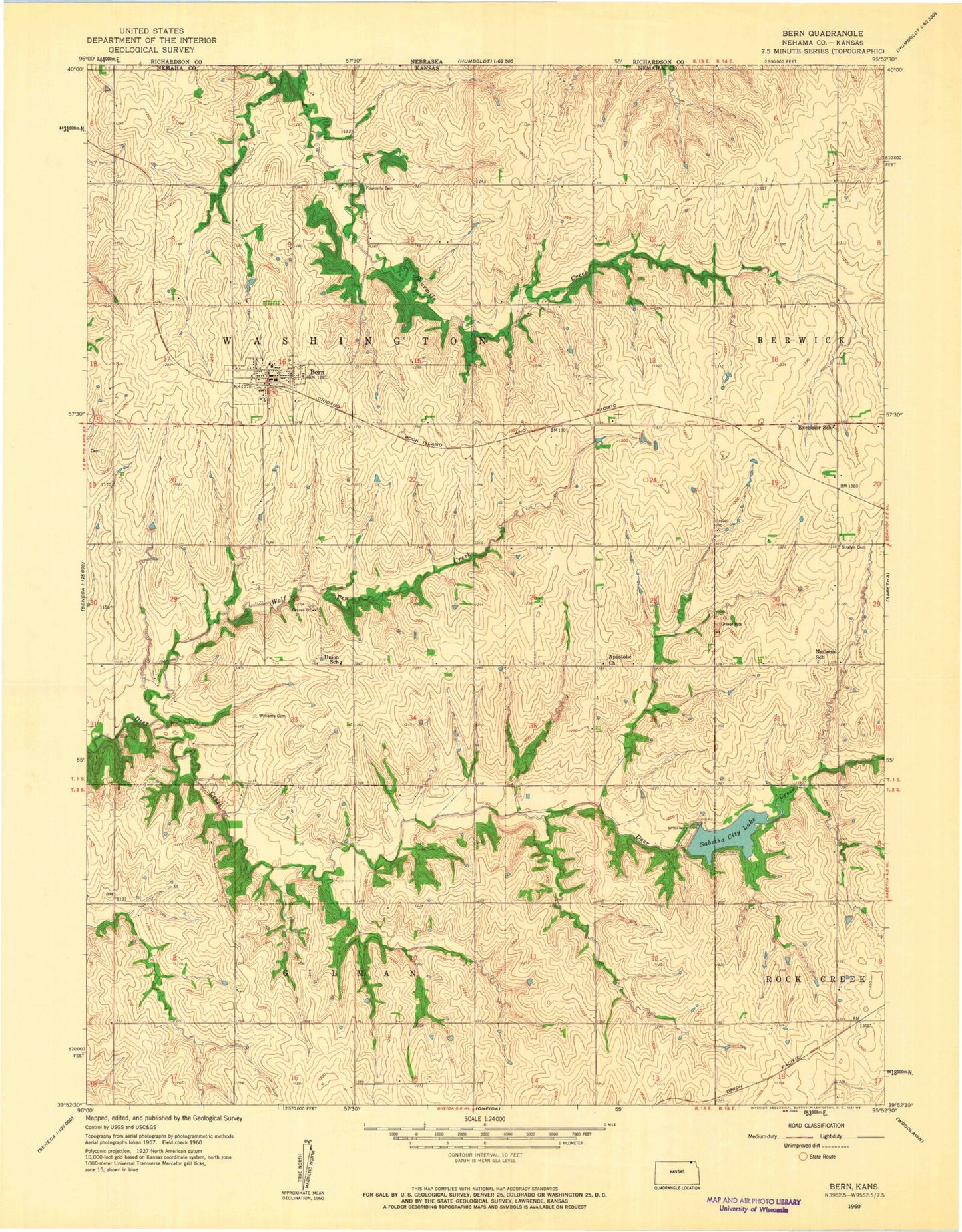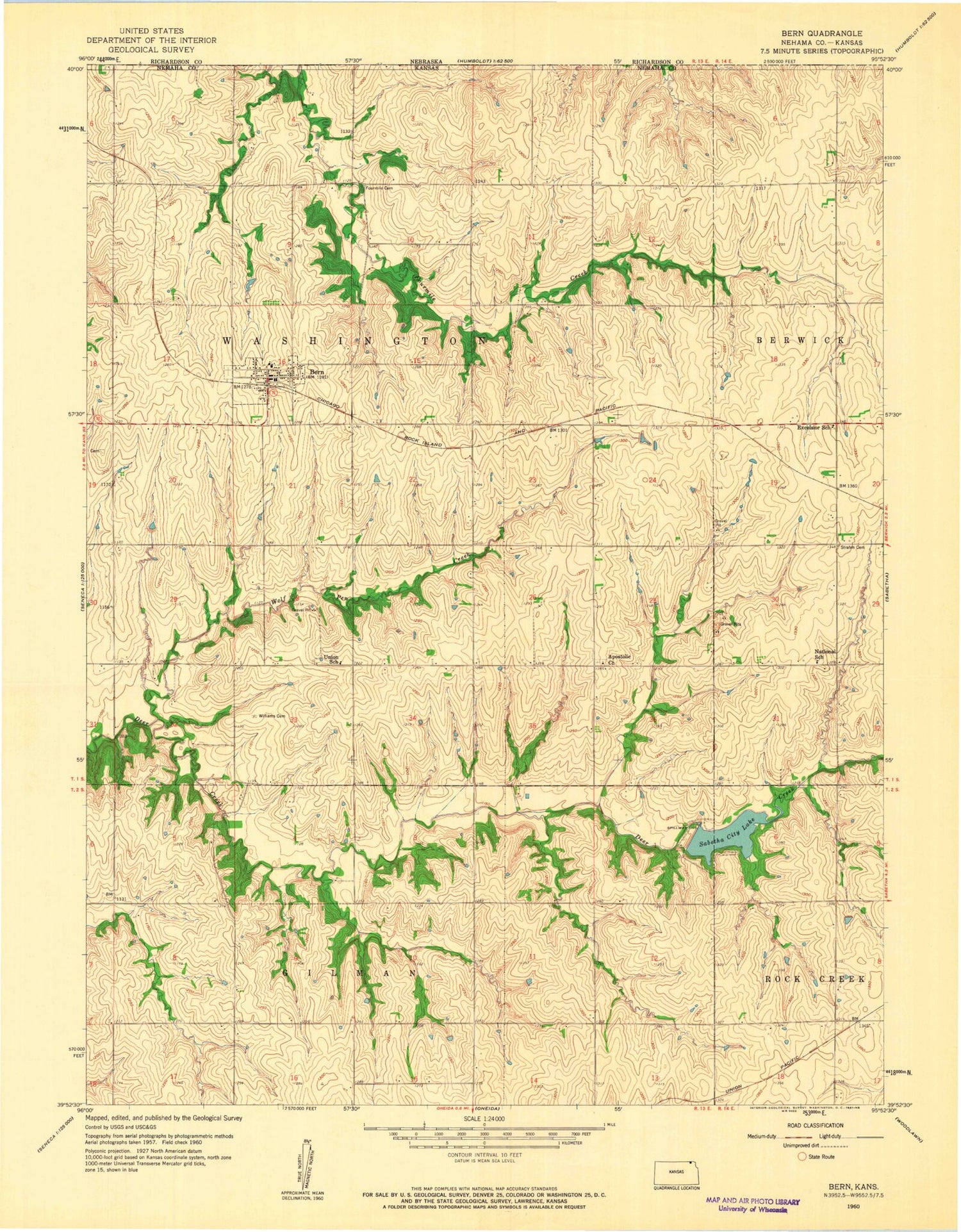
MyTopo
Classic USGS Bern Kansas 7.5'x7.5' Topo Map
Couldn't load pickup availability
Historical USGS topographic quad map of Bern in the state of Kansas. Map scale may vary for some years, but is generally around 1:24,000. Print size is approximately 24" x 27"
This quadrangle is in the following counties: Nemaha.
The map contains contour lines, roads, rivers, towns, and lakes. Printed on high-quality waterproof paper with UV fade-resistant inks, and shipped rolled.
Contains the following named places: Apostolic Christian Church, Bern, Bern Cemetery, Bern City Hall, Bern Community Center, Bern Community Library, Bern Fire Department, Bern Post Office, Bern Schools, Bern Wastewater Plant, City of Bern, Excelsior School, Four Mile Cemetery, Lortscher Agricultural Service Grain Elevator Number 1, National School, Sabetha City Lake, Strahm Cemetery, Township of Washington, Union School, Williams Cemetery, Wolf Pen Creek, ZIP Code: 66408