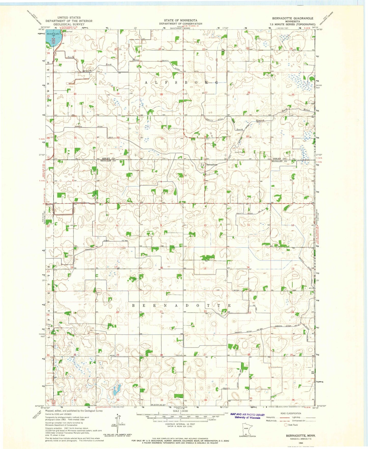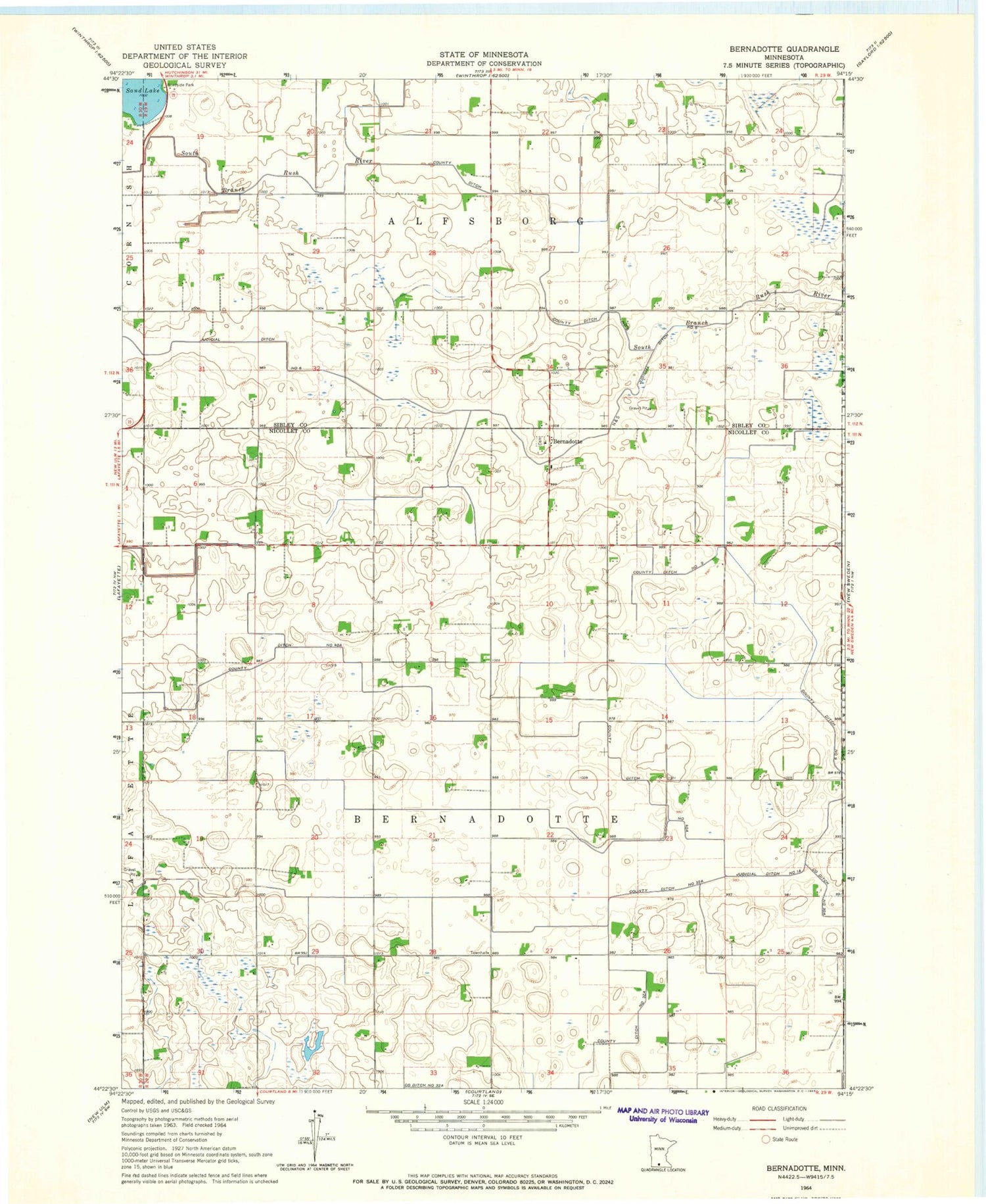
MyTopo
Classic USGS Bernadotte Minnesota 7.5'x7.5' Topo Map
Couldn't load pickup availability
Historical USGS topographic quad map of Bernadotte in the state of Minnesota. Map scale may vary for some years, but is generally around 1:24,000. Print size is approximately 24" x 27"
This quadrangle is in the following counties: Nicollet, Sibley.
The map contains contour lines, roads, rivers, towns, and lakes. Printed on high-quality waterproof paper with UV fade-resistant inks, and shipped rolled.
Contains the following named places: Bernadotte, Bernadotte Lutheran Cemetery, Bernadotte Lutheran Church, Bernadotte Post Office, County Ditch Number Five, County Ditch Number Forty A, County Ditch Number Nine, County Ditch Number Thirtytwo A, Judicial Ditch Number Six, Sand Lake, Sand Lake Wayside Park, Township of Alfsborg, Township of Bernadotte, ZIP Code: 56054