MyTopo
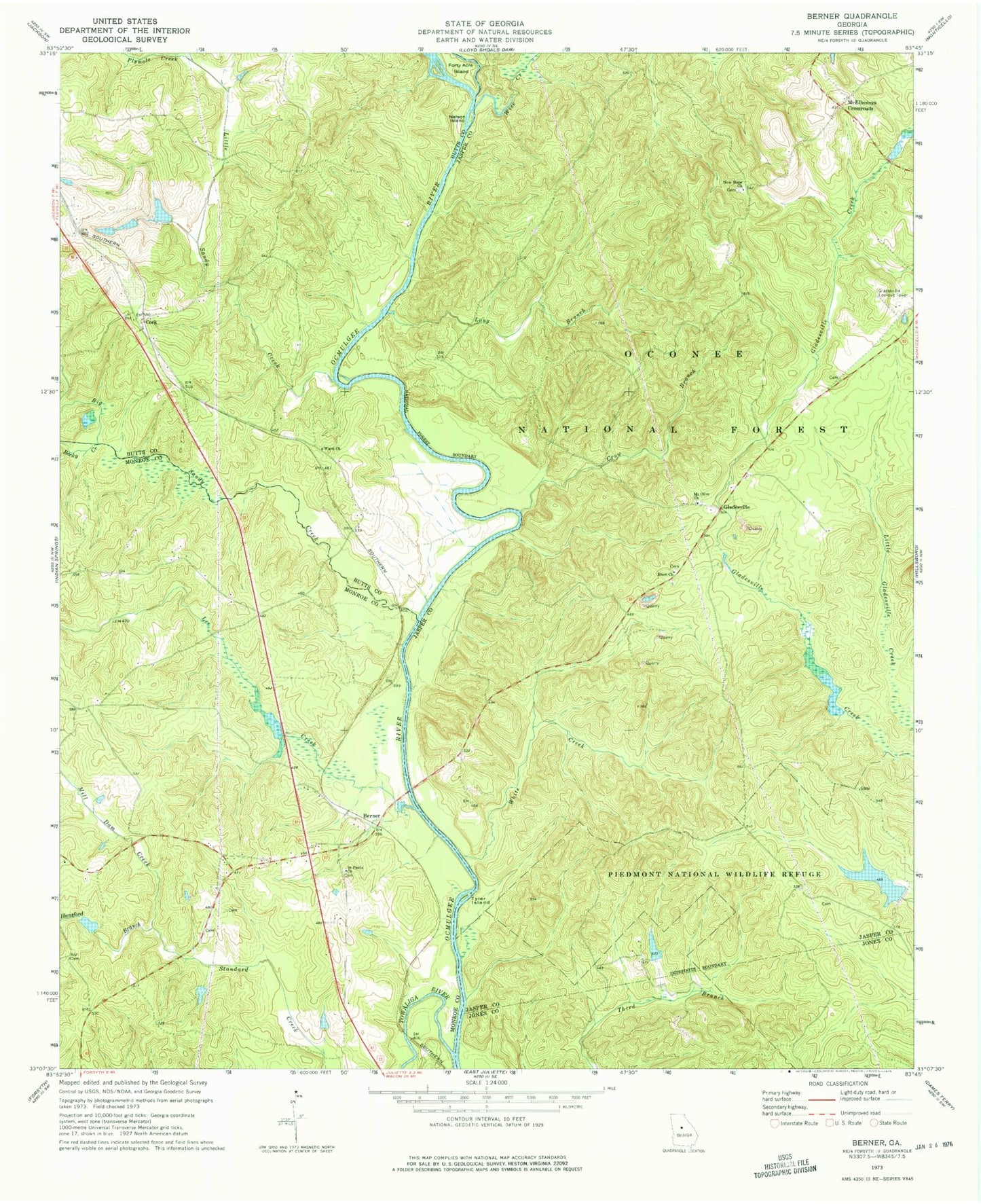
Classic USGS Berner Georgia 7.5'x7.5' Topo Map
Couldn't load pickup availability
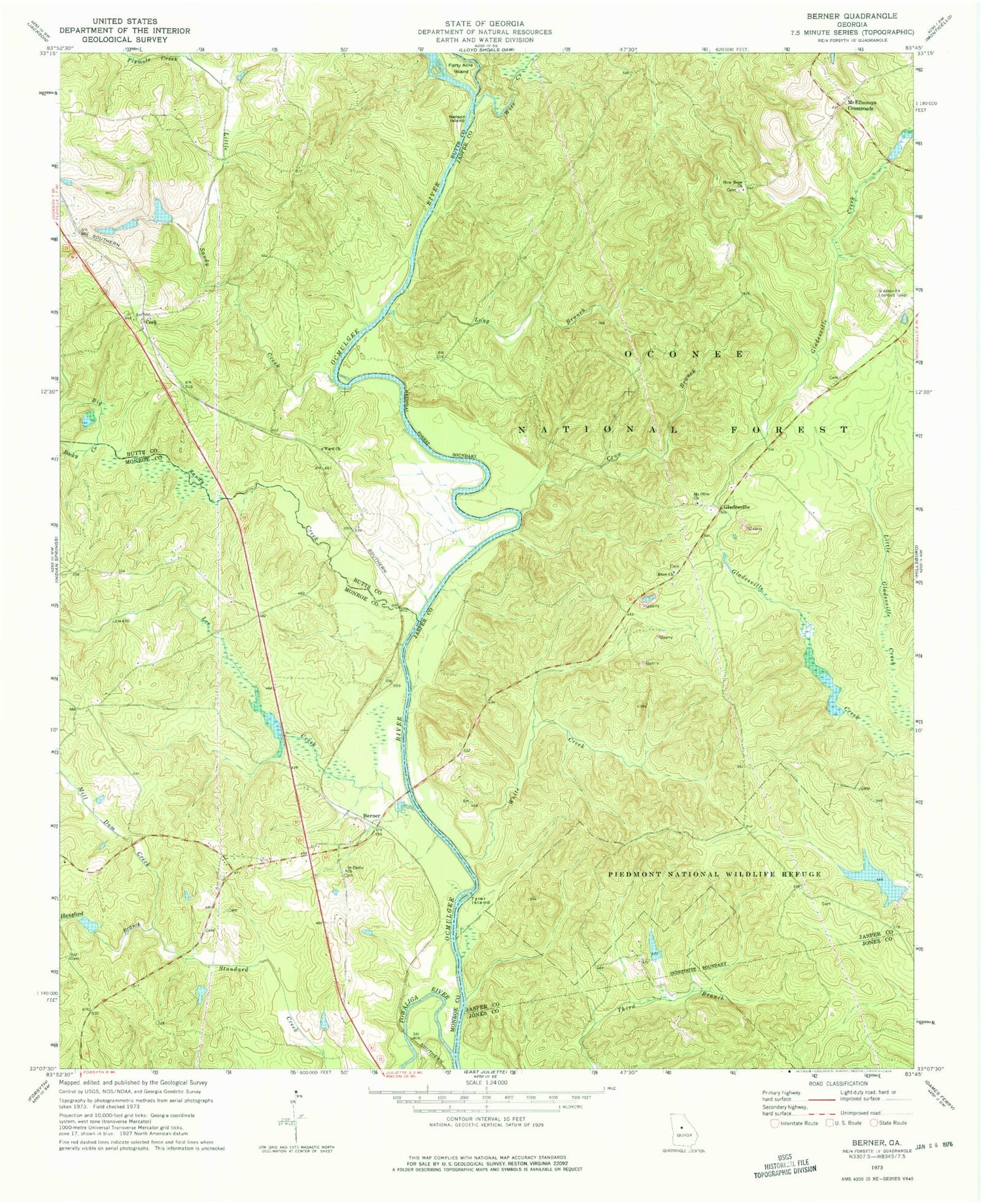
Historical USGS topographic quad map of Berner in the state of Georgia. Typical map scale is 1:24,000, but may vary for certain years, if available. Print size: 24" x 27"
This quadrangle is in the following counties: Butts, Jasper, Jones, Monroe.
The map contains contour lines, roads, rivers, towns, and lakes. Printed on high-quality waterproof paper with UV fade-resistant inks, and shipped rolled.
Contains the following named places: Crow Branch, Douglas Creek, Forty Acre Island, Hansford Branch, Lee Creek, Little Sandy Creek, Long Branch, McElheneys Crossroads, Mill Dam Creek, Mount Olive Church, Nelson Island, New Hope Church, Plymale Creek, Rocky Creek, Saint Pauls Church, Tyler Island, Ward Church, White Creek, Wise Creek, Ocmulgee River Trail, Wise Creek Hunt Camp, Gladesville Hunt Camp, Ocmulgee Flats Hunt Camp, Cork, C H Greer Cemetery, Holloway Cemetery, Mount Olive School (historical), Bridges Ferry (historical), Standard Cemetery, Bill Key Bridge, Cabaniss Baptist Church, Gibson Cemetery, Sunshine Church (historical), Willis Cemetery, Gladesville Lookout Tower, Goodman Ferry (historical), Lamars Ferry (historical), Lamars Mill (historical), Rocky Hill School (historical), Smiths Chapel (historical), Thompsons Mill (historical), Waits Ferry (historical), New Hope Cemetery, Oak Grove School (historical), Poplar Spring School (historical), Enon Baptist Cemetery, Berner, Big Sandy Creek, Enon Church, Gladesville, Towaliga River, Mount Olive Baptist Cemetery


