MyTopo
Classic USGS Bernice Canyon Nevada 7.5'x7.5' Topo Map
Regular price
$16.95
Regular price
Sale price
$16.95
Unit price
per
Couldn't load pickup availability
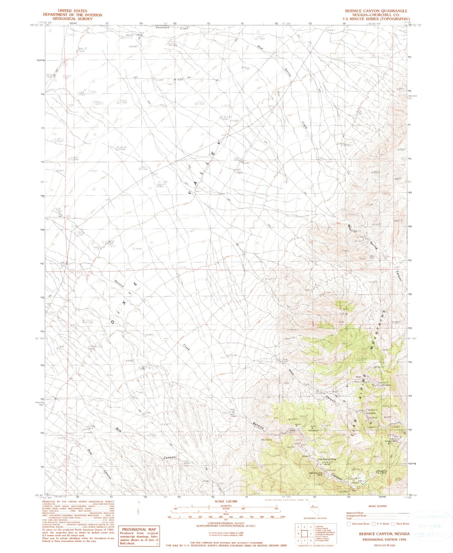
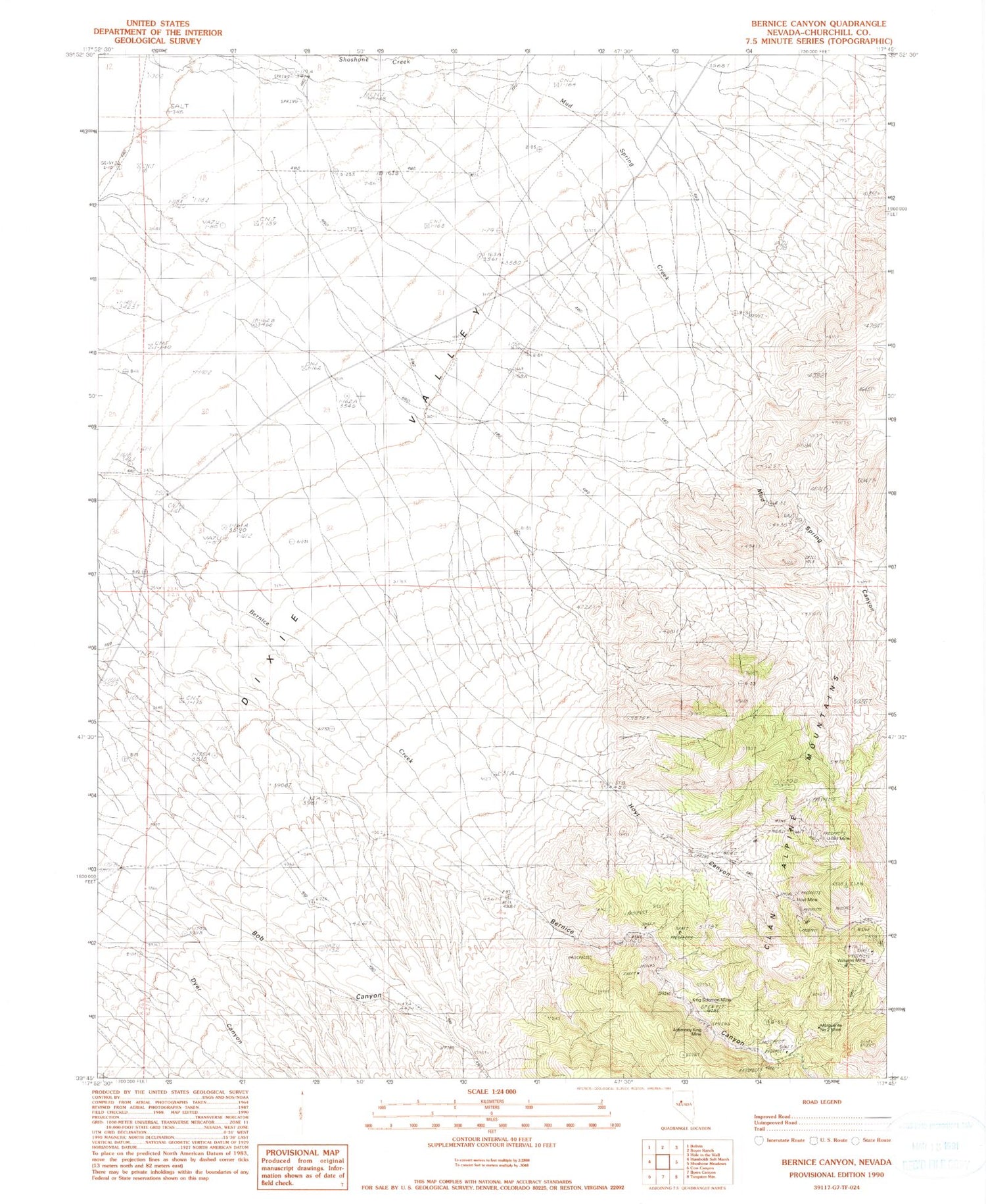
Historical USGS topographic quad map of Bernice Canyon in the state of Nevada. Map scale may vary for some years, but is generally around 1:24,000. Print size is approximately 24" x 27"
This quadrangle is in the following counties: Churchill.
The map contains contour lines, roads, rivers, towns, and lakes. Printed on high-quality waterproof paper with UV fade-resistant inks, and shipped rolled.
Contains the following named places: Antimony King Mine, Bernice, Bernice Canyon, Bernice Mining District, Bernice Post Office, Bob Canyon, Dyer Canyon, Eagle Canyon Creek, Hoyt Canyon, Hoyt Mine, King Solomon Mine, Marguerite Number Two Mine, Mud Spring Canyon, Mud Spring Creek, U Bet Mine, Williams Mine