MyTopo
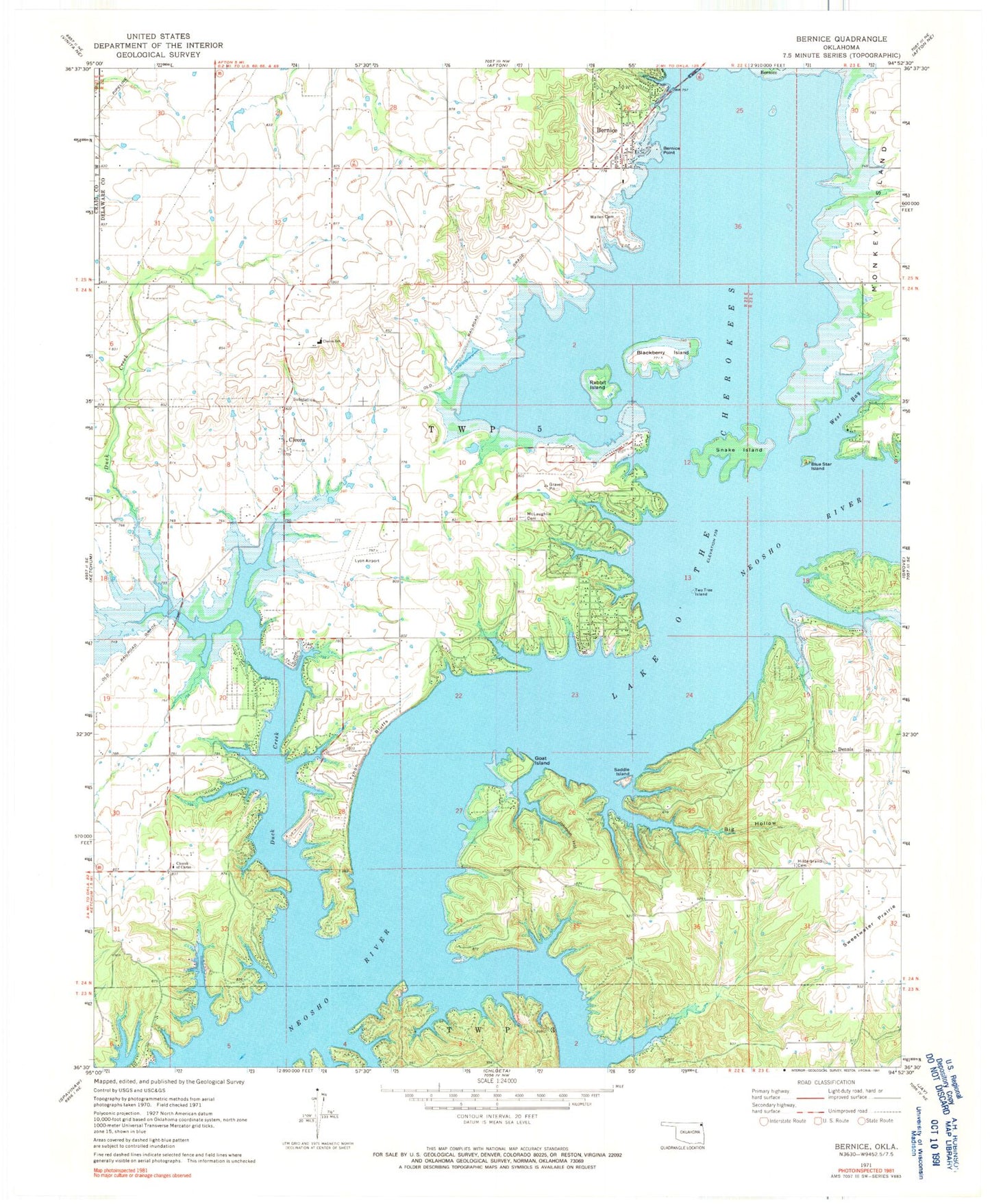
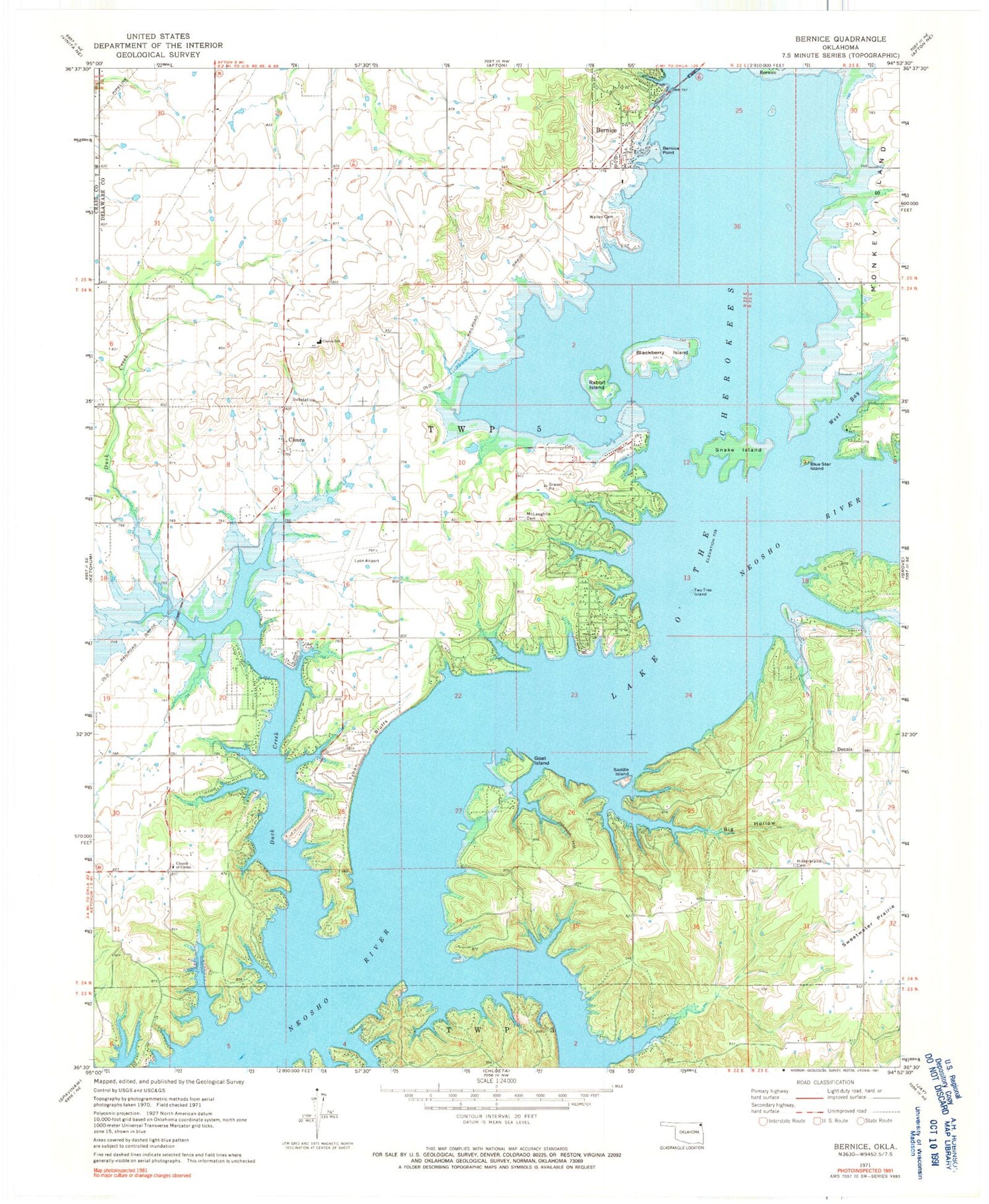
Classic USGS Bernice Oklahoma 7.5'x7.5' Topo Map
Couldn't load pickup availability
Historical USGS topographic quad map of Bernice in the state of Oklahoma. Map scale is 1:24000. Print size is approximately 24" x 27"
This quadrangle is in the following counties: Craig, Delaware.
The map contains contour lines, roads, rivers, towns, and lakes. Printed on high-quality waterproof paper with UV fade-resistant inks, and shipped rolled.
Contains the following named places: Bernice, Bernice Point, Big Hollow, Blackberry Island, Blue Star Island, Cherokee Seaplane Base, City of Bernice Volunteer Fire Department, Cleora, Cleora, Cleora Census Designated Place, Cleora Community Fire Department, Cleora Emergency Medical Services, Cleora Fire Department Station 2, Cleora Public School, Dennis, Duck Creek, Goat Island, Harbors Inn Heliport, Hilderbrand Cemetery, Johnson Hollow, Lyon Airport (historical), McLaughlin Cemetery, Monkey Island, Rabbit Island, Saddle Island, Snake Island, Sweetwater Hollow, Town of Bernice, Township 5, Two Tree Island, Tynon Bluffs, Wallen Cemetery, West Bay


