MyTopo
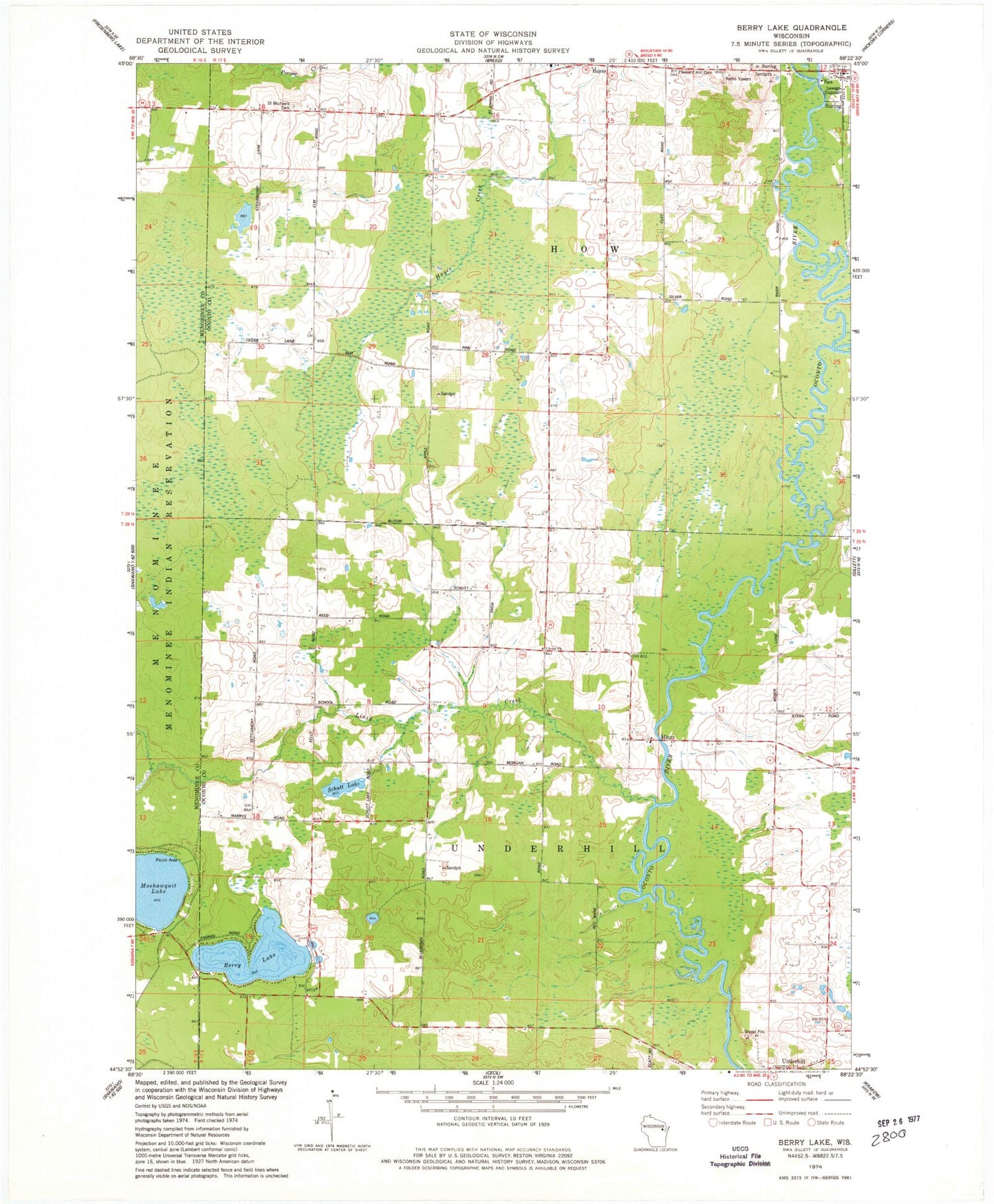
Classic USGS Berry Lake Wisconsin 7.5'x7.5' Topo Map
Couldn't load pickup availability
Historical USGS topographic quad map of Berry Lake in the state of Wisconsin. Map scale may vary for some years, but is generally around 1:24,000. Print size is approximately 24" x 27"
This quadrangle is in the following counties: Menominee, Oconto.
The map contains contour lines, roads, rivers, towns, and lakes. Printed on high-quality waterproof paper with UV fade-resistant inks, and shipped rolled.
Contains the following named places: Berry Lake, Franks School, Grignon School, Hayes, Hintz, Linzy Brook School, Linzy Creek, Pleasant Hill Cemetery, Saint Michael's Catholic Church Cemetery, Schutt Lake, Sunny Lawn School, Suring Wastewater Treatment Plant, Town of How, Town of Underhill, Underhill, WRVM-FM (Suring), WSCO-TV (Suring)