MyTopo
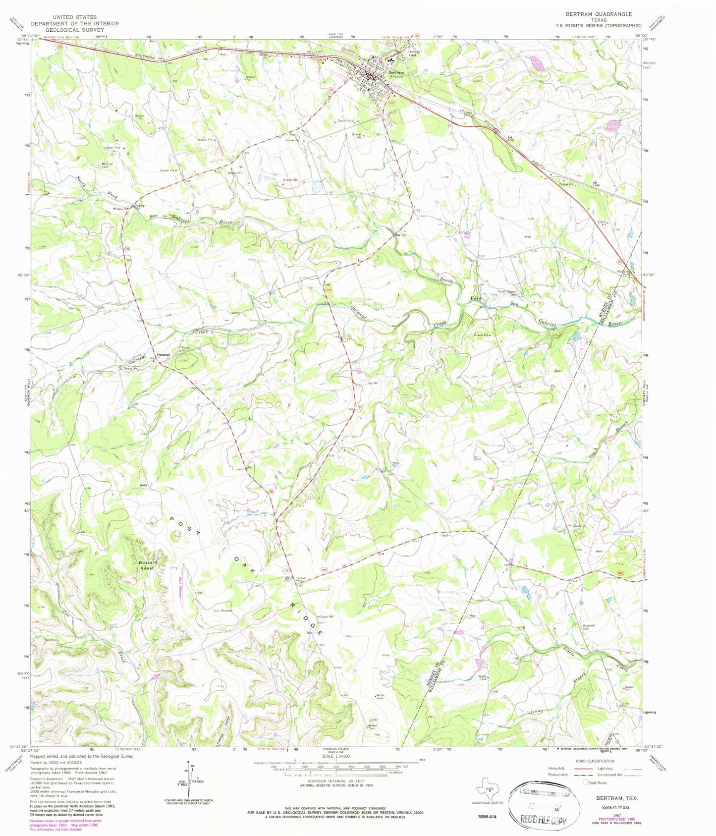
Classic USGS Bertram Texas 7.5'x7.5' Topo Map
Couldn't load pickup availability
Historical USGS topographic quad map of Bertram in the state of Texas. Map scale is 1:24000. Print size is approximately 24" x 27"
This quadrangle is in the following counties: Burnet, Travis, Williamson.
The map contains contour lines, roads, rivers, towns, and lakes. Printed on high-quality waterproof paper with UV fade-resistant inks, and shipped rolled.
Contains the following named places: Bertram, Bertram City Hall, Bertram Division, Bertram Police Department, Bertram Post Office, Bertram Volunteer Fire Department, Buzzard Roost, City of Bertram, Flying X Ranch Airport (historical), Hopewell Cemetery, Jimms Branch, Liberty Hill Air Ranch, McFarlin Ranch Airport, Mount Zion Cemetery, Mount Zion Church, Oatmeal, Oatmeal Cemetery, Oatmeal Creek, Pitts Ranch Airport (historical), South Gabriel Cemetery