MyTopo
Classic USGS Bertrand SE Nebraska 7.5'x7.5' Topo Map
Regular price
$16.95
Regular price
Sale price
$16.95
Unit price
per
Couldn't load pickup availability
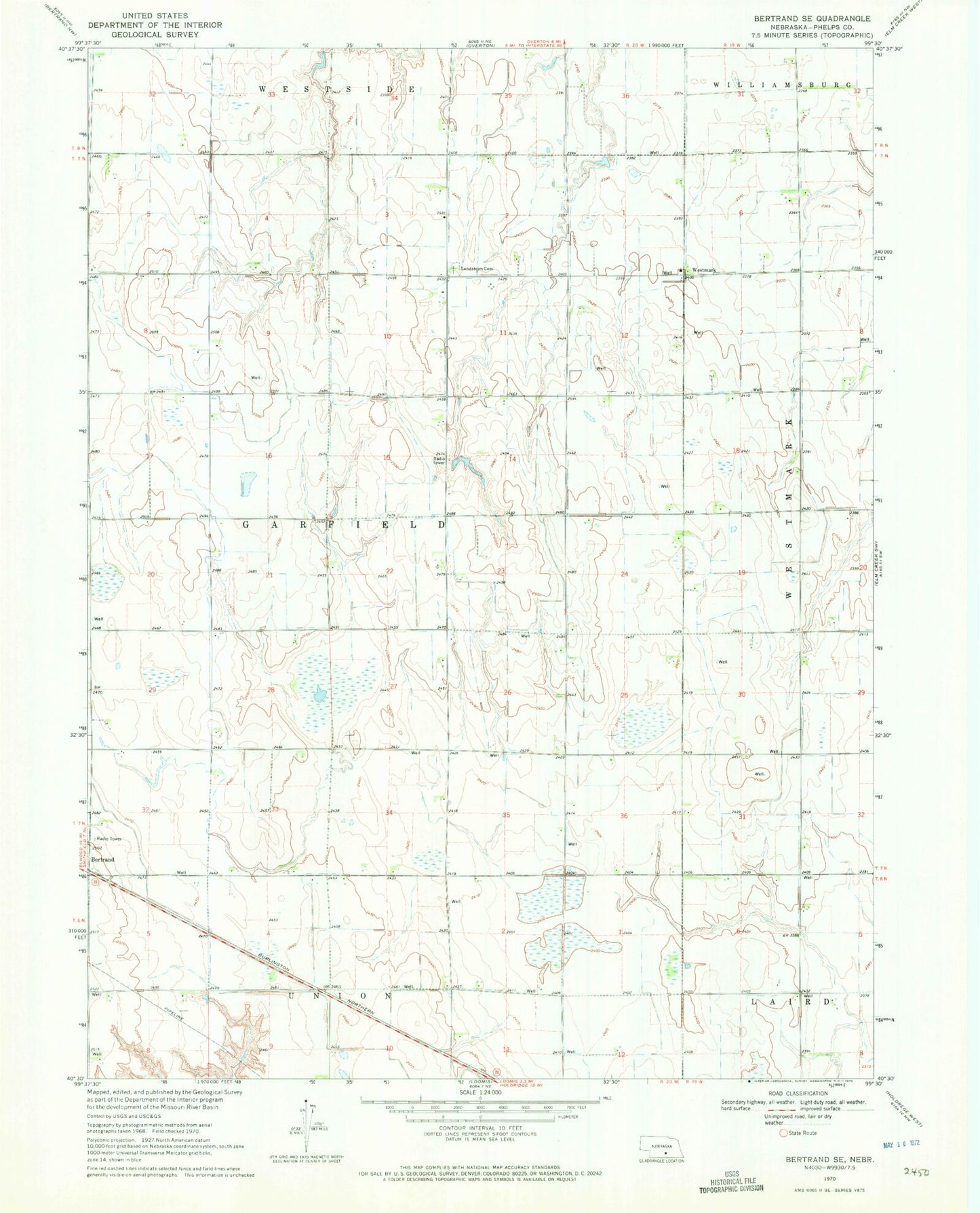
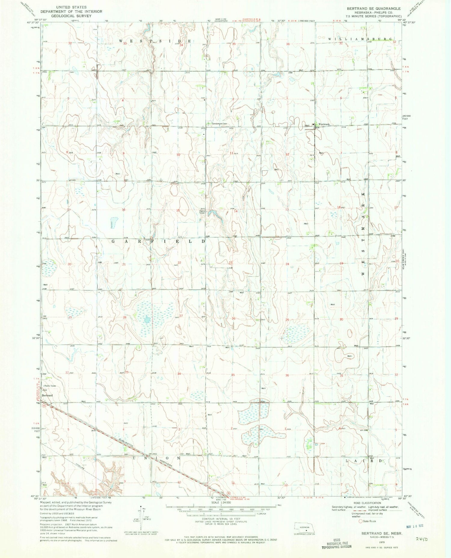
Historical USGS topographic quad map of Bertrand SE in the state of Nebraska. Map scale may vary for some years, but is generally around 1:24,000. Print size is approximately 24" x 27"
This quadrangle is in the following counties: Phelps.
The map contains contour lines, roads, rivers, towns, and lakes. Printed on high-quality waterproof paper with UV fade-resistant inks, and shipped rolled.
Contains the following named places: Cottonwood Federal Waterfowl Production Area, Election Precinct 3, Johnson Reservoir, Lynder Federal Waterfowl Production Area, Sandstrom Cemetery, Township of Garfield, Westmark, Westmark Evangelical Free Church, Westmark Post Office