MyTopo
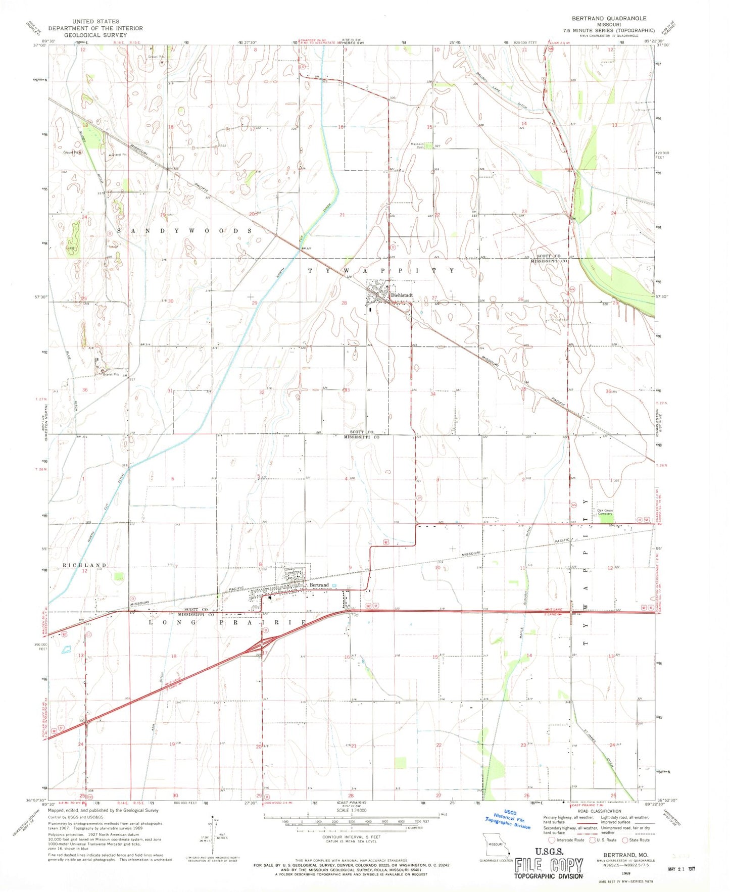
Classic USGS Bertrand Missouri 7.5'x7.5' Topo Map
Couldn't load pickup availability
Historical USGS topographic quad map of Bertrand in the state of Missouri. Map scale may vary for some years, but is generally around 1:24,000. Print size is approximately 24" x 27"
This quadrangle is in the following counties: Mississippi, Scott.
The map contains contour lines, roads, rivers, towns, and lakes. Printed on high-quality waterproof paper with UV fade-resistant inks, and shipped rolled.
Contains the following named places: Austin Switch, Bement School, Bertrand, Bertrand Fire Department, Bertrand Post Office, Buckeye, City of Bertrand, Diehlstadt, Diehlstadt School, Lemons School, Maynard Cemetery, Muddy Ditch, Never Spur, North Cut Ditch, Oak Grove Cemetery, Porter, Russell School, Sand Pit Spur, Township of Long Prairie, Village of Diehlstadt, ZIP Code: 63823