MyTopo
Classic USGS Bethany NE Oklahoma 7.5'x7.5' Topo Map
Couldn't load pickup availability
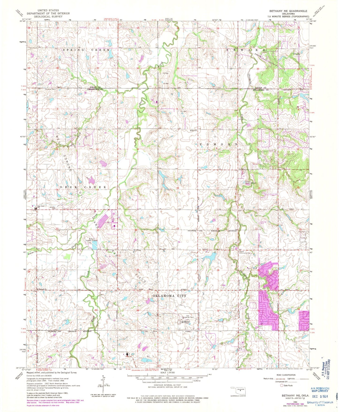
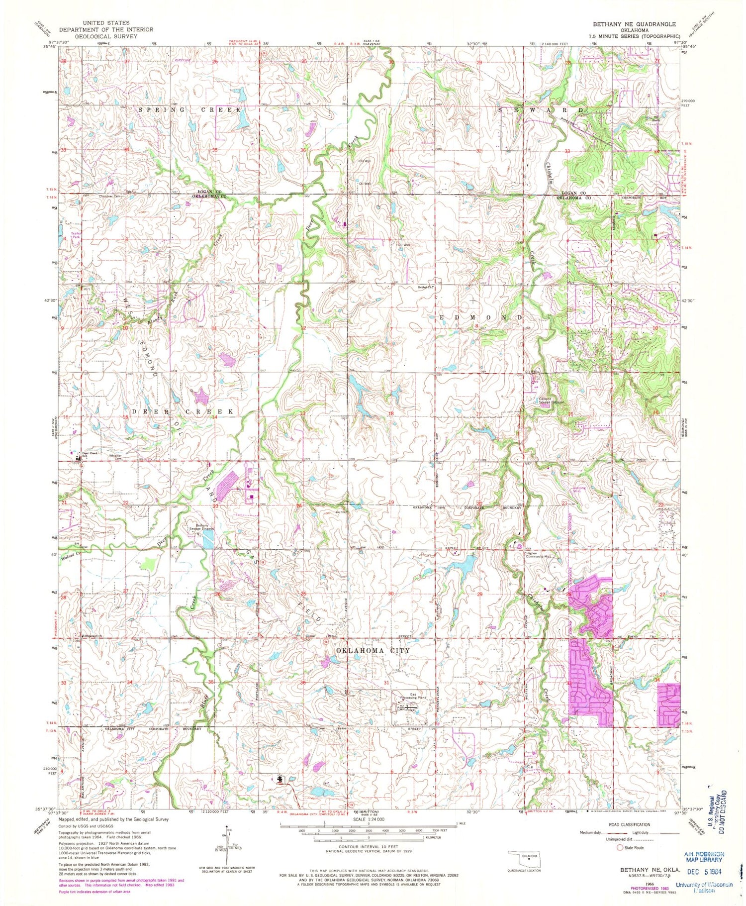
Historical USGS topographic quad map of Bethany NE in the state of Oklahoma. Map scale may vary for some years, but is generally around 1:24,000. Print size is approximately 24" x 27"
This quadrangle is in the following counties: Logan, Oklahoma.
The map contains contour lines, roads, rivers, towns, and lakes. Printed on high-quality waterproof paper with UV fade-resistant inks, and shipped rolled.
Contains the following named places: 5B Ranch Airport, 73012, 73025, Angie Debo Elementary School, Bethany Sewage Disposal, Bethel Church, Bloody Rush Creek, Bluff Creek, Calvary Baptist Church, Charles Haskell Elementary School, Christner Cemetery, Deer Creek Elementary School, Deer Creek Farms Dam, Deer Creek Farms Lake, Deer Creek Fire Protection District, Deer Creek High School, Deer Creek Intermediate School, Edmond Fire Department Station 3, Edmond Road Baptist Church, Edmond Sewage Disposal, Higbee Community Hall, Holy Trinity Christian School, Hopewell Church, J-M Ranch Dam, J-M Ranch Lake, Liberty Church, Lord of Life Lutheran Church, Northwest Edmond Airport, Oakbrook Shopping Center, Oklahoma City Fire Department Station 37, Oklahoma City Northwest Division, Oknoname 083024 Dam, Oknoname 083024 Reservoir, Oknoname 083043 Dam, Oknoname 083043 Reservoir, Oknoname 083046 Dam, Oknoname 083046 Reservoir, Oknoname 109019 Dam, Oknoname 109019 Reservoir, Oknoname 16 Dam, Oknoname 16 Reservoir, Oknoname 17 Dam, Oknoname 17 Reservoir, Oknoname 19 Dam, Prairie Vale Elementary School, Quail Springs United Methodist Church, Rose Union Elementary School, Saint Monica Catholic Church, Santa Fe High School, Stonegate Presbyterian Church, Summit Middle School, Township of Deer Creek, Wakefield Strip, Walnut Creek, Washington Irving Elementary School, West Field Elementary School, Whisler, Whisler Cemetery


