MyTopo
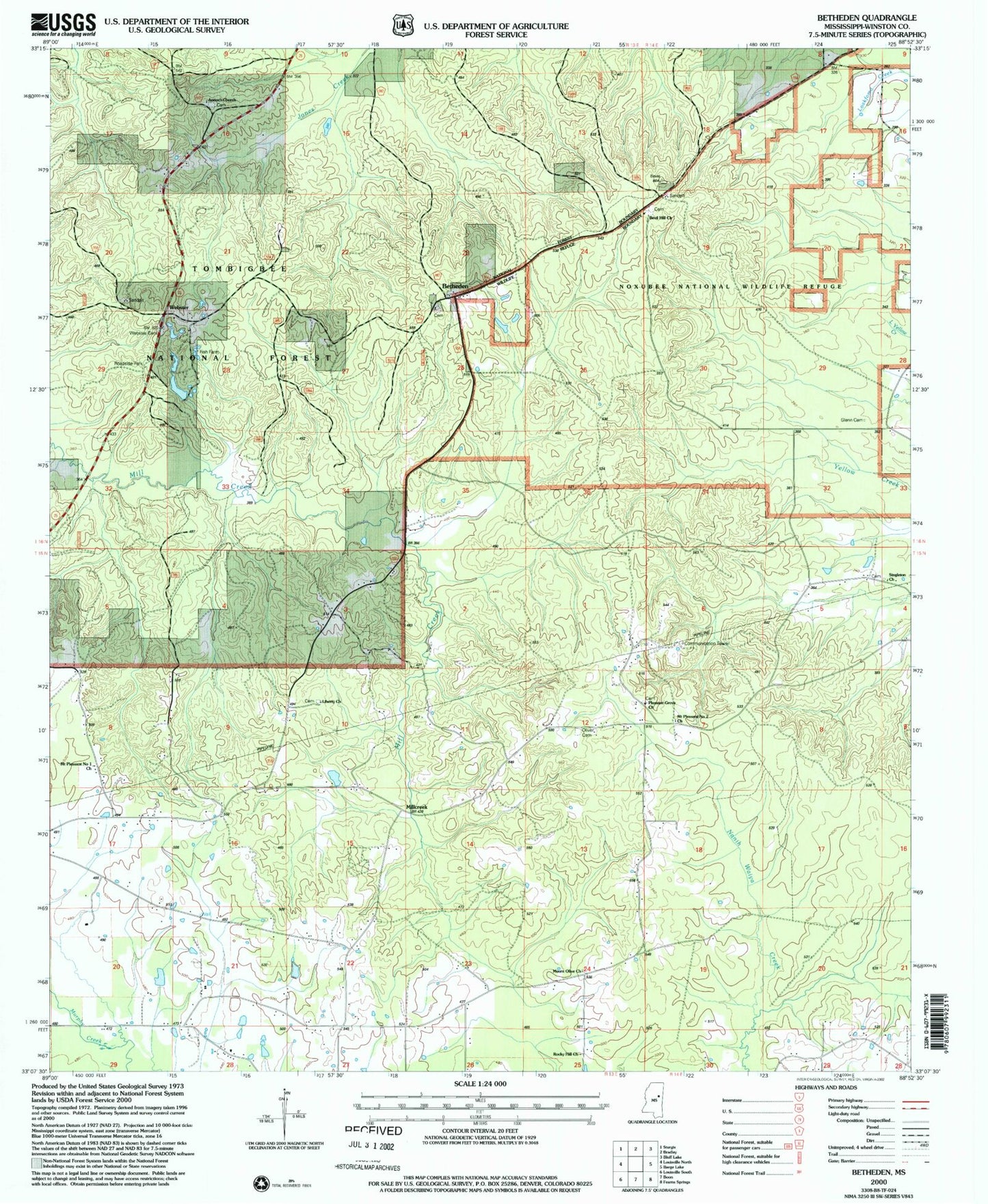
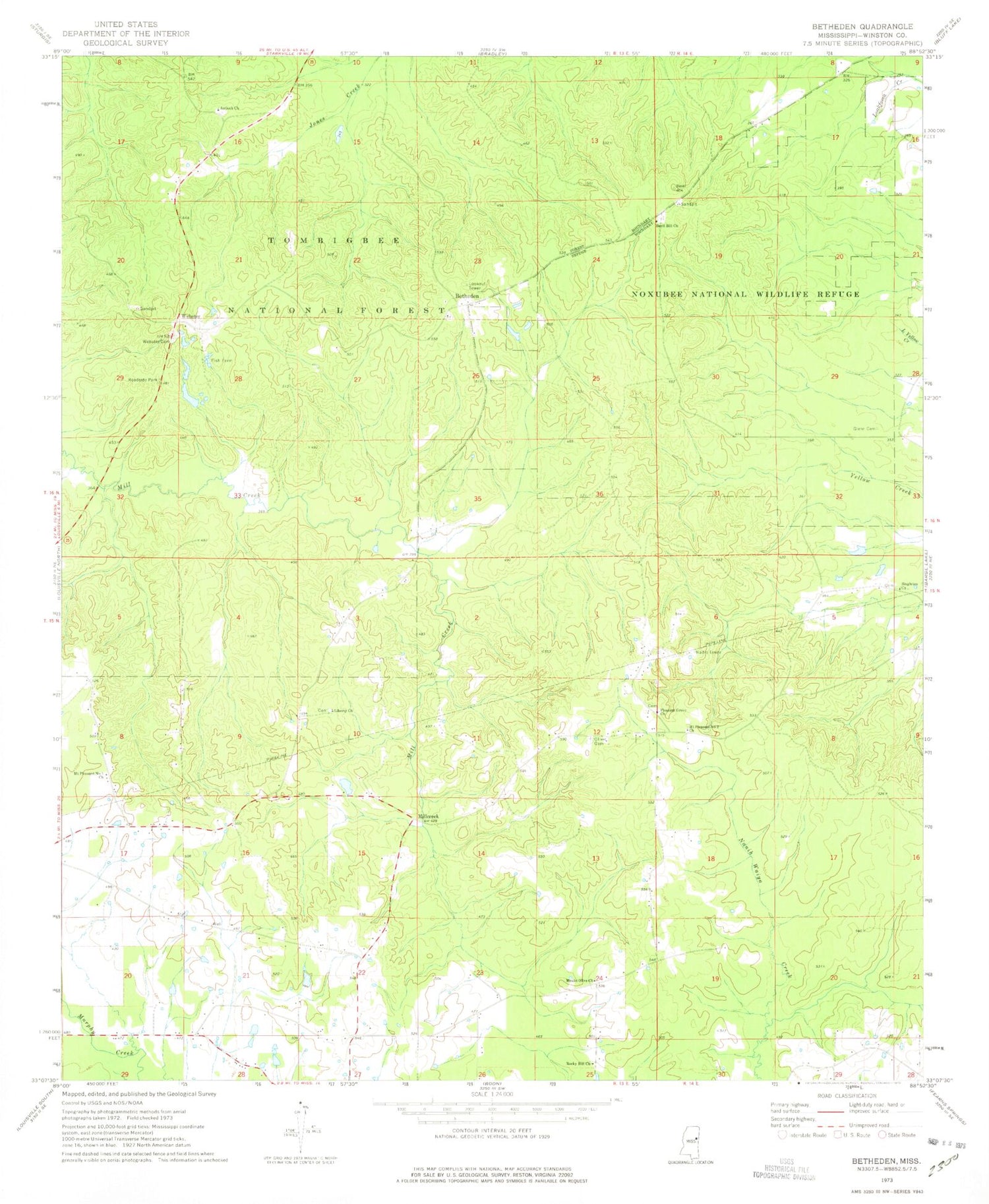
Classic USGS Betheden Mississippi 7.5'x7.5' Topo Map
Couldn't load pickup availability
Historical USGS topographic quad map of Betheden in the state of Mississippi. Map scale may vary for some years, but is generally around 1:24,000. Print size is approximately 24" x 27"
This quadrangle is in the following counties: Winston.
The map contains contour lines, roads, rivers, towns, and lakes. Printed on high-quality waterproof paper with UV fade-resistant inks, and shipped rolled.
Contains the following named places: Antioch Cemetery, Antioch Church, Betheden, Betheden Cemetery, Betheden Lutheran Church, Betheden Volunteer Fire Department, Bevil, Bevil Hill Cemetery, Bevil Hill Church, Deposit, Dry Creek, Glenn Cemetery, Kinard Lake Dam, Liberty Cemetery, Liberty Church, Loakfoma, Millcreek, Mount Olive Church, Mount Pleasant Number 1 Church, Mount Pleasant Number 2 Church, Oliver Cemetery, Pleasant Grove Cemetery, Pleasant Grove Church, Rocky Hill Church, Singleton Church, Supervisor District 3, Webster, Webster Cemetery, White Lake Dam