MyTopo
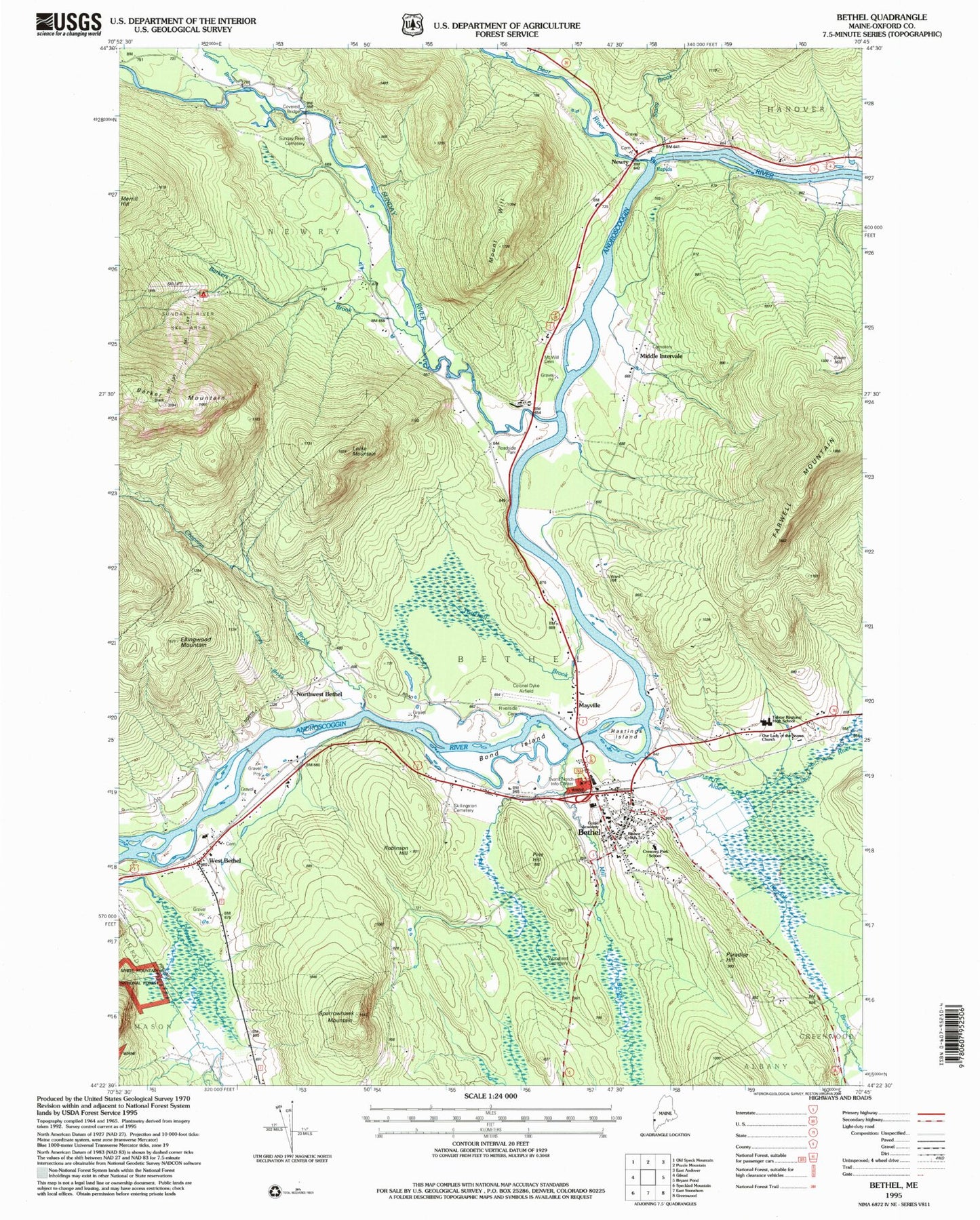
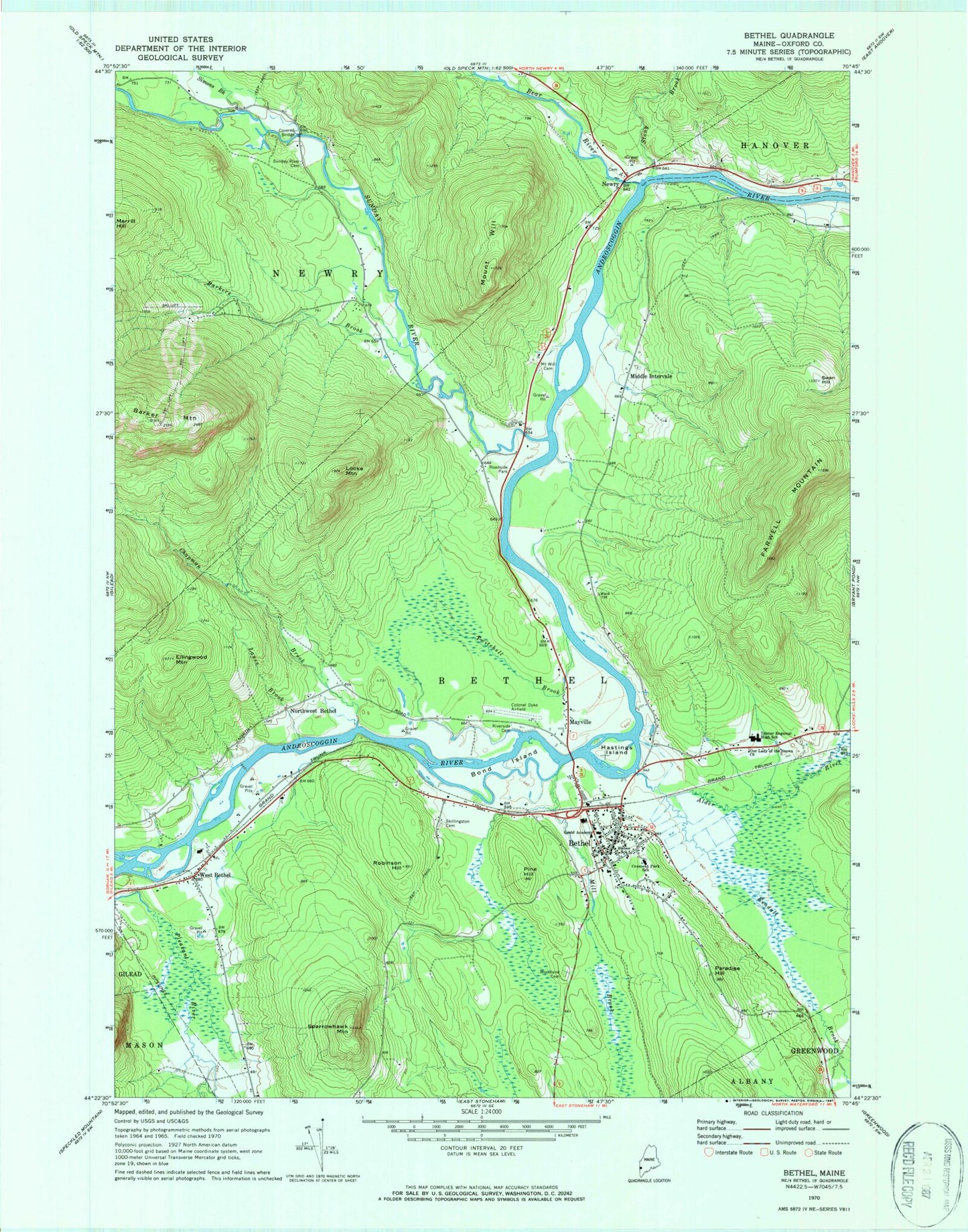
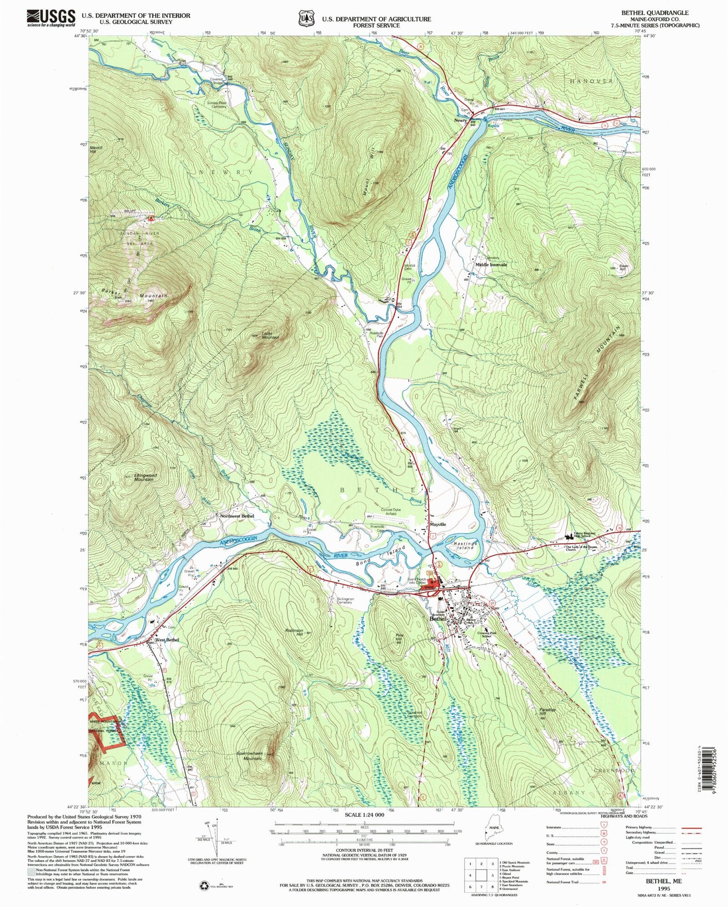
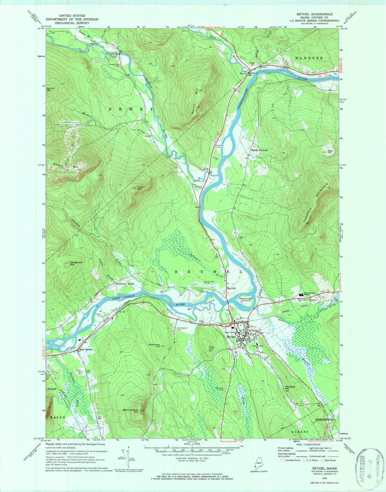
Classic USGS Bethel Maine 7.5'x7.5' Topo Map
Couldn't load pickup availability
Historical USGS topographic quad map of Bethel in the state of Maine. Typical map scale is 1:24,000, but may vary for certain years, if available. Print size: 24" x 27"
This quadrangle is in the following counties: Oxford.
The map contains contour lines, roads, rivers, towns, and lakes. Printed on high-quality waterproof paper with UV fade-resistant inks, and shipped rolled.
Contains the following named places: Bethel Regional Airport, Alder River, Barker Mountain, Barkers Brook, Bear River, Bethel, Bisbee School, Bond Island, Chandler Brook, Chapman Brook, Crescent Park Elementary School, Ellingwood Mountain, Farwell Mountain, Gould Academy, Hastings Island, Kendall Brook, Lanes Brook, Locke Mountain, Mayville, Middle Intervale, Mill Brook, Mount Will Cemetery, Newry, Northwest Bethel, Our Lady of the Snows Church, Paradise Hill, Pine Hill, Bethel Riverside Cemetery, Robinson Hill, Simons Brook, Skillingston Cemetery, Sparrowhawk Mountain, Stony Brook, Sunday River, Sunday River Cemetery, Swan Hill, Telstar High School, Twitchell Brook, West Bethel, Mount Will, Woodland Cemetery, North Bethel, Sunday River Ski Area, Oxford County, Evans Notch District Ranger Station, Town of Bethel, Bethel Church of the Nazarene, Bethel Historical Society, Bethel Historical Society Regional History Museum, Bethel Library Association, Bethel Outdoor Adventures Campground, Bethel Post Office, Broad Street Historic District, Carters Cross Country Ski Center, Congregational Church, Moses Mason House Museum, O'Neil Robinson House, Stony Brook Recreation Campground, Sunday River Bridge, Sunday River Cross Country Ski Center, Sunday River School (historical), Telstar Middle School, United Methodist Church, West Bethel Union Church, Bethel Fire Department, Newry Fire Department Sunday River Substation, Bethel Ambulance Rescue Station, Grafton Cemetery, Middle Intervale Cemetery, West Bethel Cemetery, Newry Post Office, West Bethel Post Office, Bethel Census Designated Place


