MyTopo
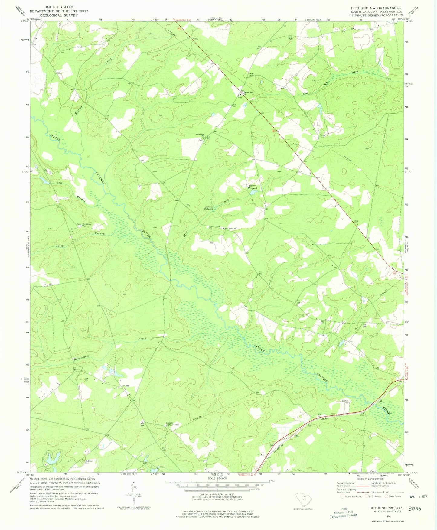
Classic USGS Bethune NW South Carolina 7.5'x7.5' Topo Map
Couldn't load pickup availability
Historical USGS topographic quad map of Bethune NW in the state of South Carolina. Map scale may vary for some years, but is generally around 1:24,000. Print size is approximately 24" x 27"
This quadrangle is in the following counties: Kershaw.
The map contains contour lines, roads, rivers, towns, and lakes. Printed on high-quality waterproof paper with UV fade-resistant inks, and shipped rolled.
Contains the following named places: Bakers Millpond, Beaverdam Creek, Bethel Hill Church, Bethune Division, Cassatt Lookout Tower, Cow Branch, DuBose Cemetery, Gates Hill Community House, Gully Branch, Kershaw County Fire Department Gates Ford Station, Lake Elliott, McGougans Bridge, Mill Creek School, Mills Creek, Mills Creek Church, Pleasant Grove School, Porter Bridge, Providence Church, Providence School, Scotch Cemetery, Shamrock Church, Shamrock School, Shirley Creek, South Carolina Noname 28011 D-2514 Dam, Stevens Millpond, West Branch School, ZIP Code: 29009