MyTopo
Classic USGS Betsy Lake South Michigan 7.5'x7.5' Topo Map
Couldn't load pickup availability
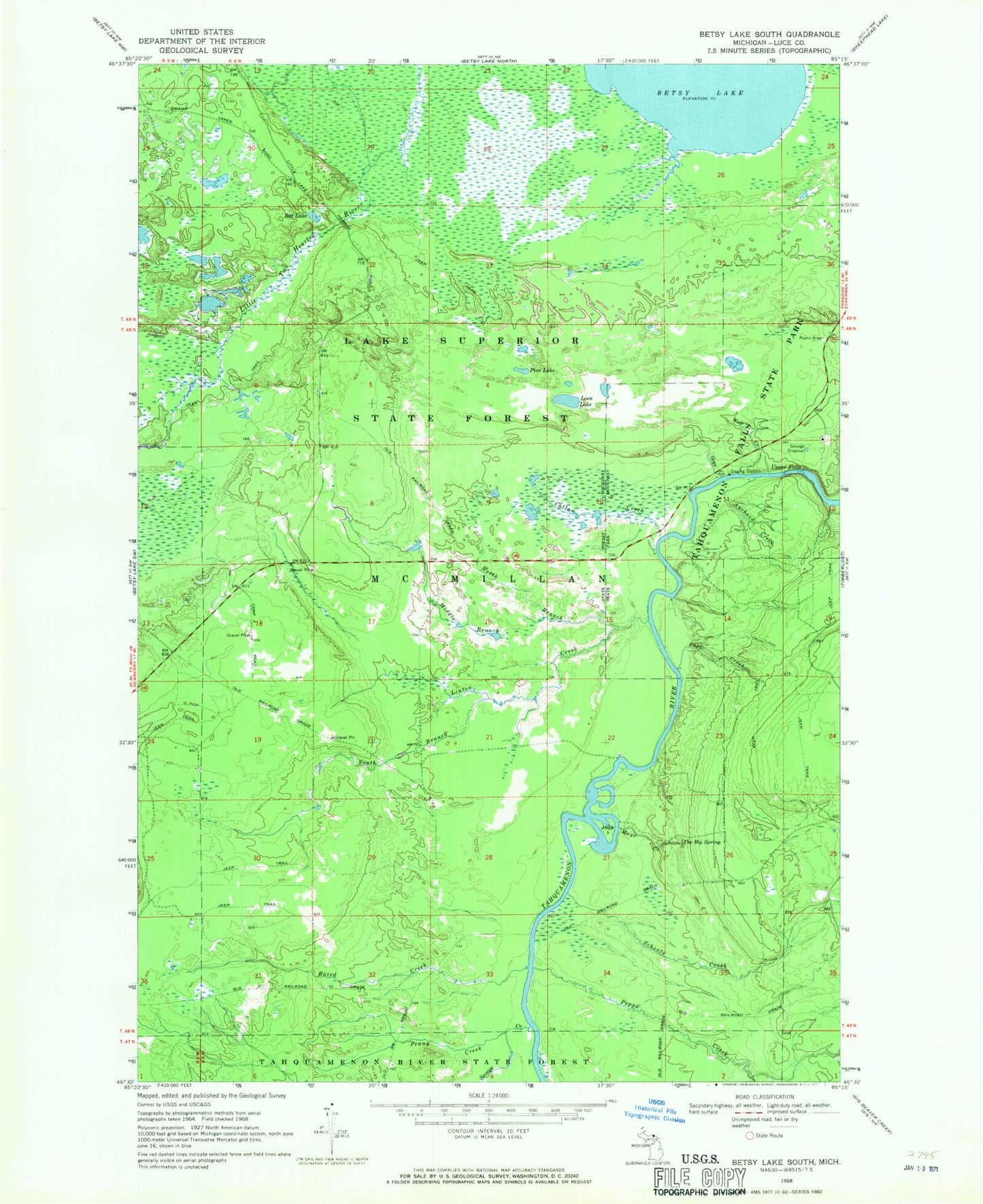
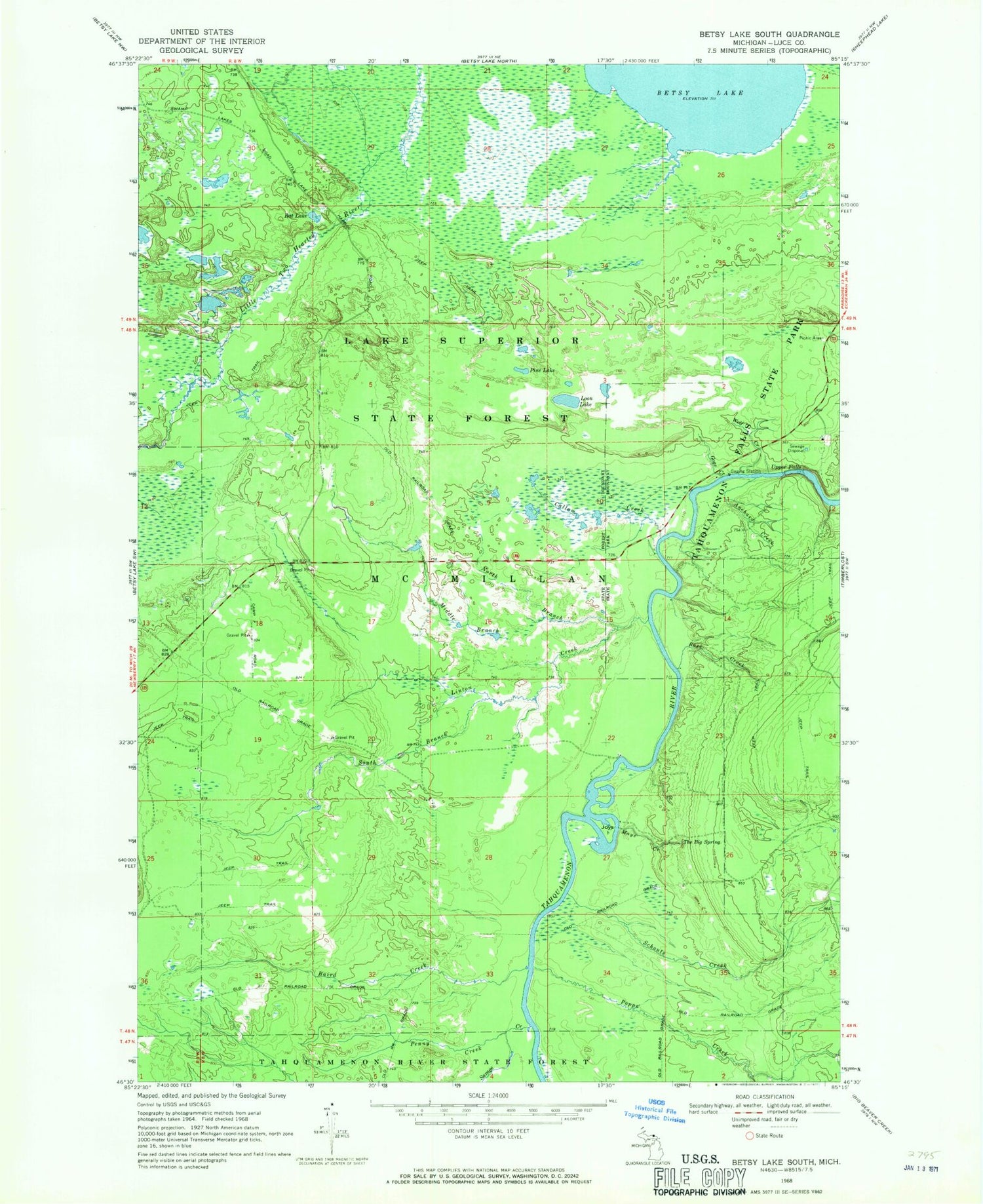
Historical USGS topographic quad map of Betsy Lake South in the state of Michigan. Typical map scale is 1:24,000, but may vary for certain years, if available. Print size: 24" x 27"
This quadrangle is in the following counties: Luce.
The map contains contour lines, roads, rivers, towns, and lakes. Printed on high-quality waterproof paper with UV fade-resistant inks, and shipped rolled.
Contains the following named places: Anchard Creek, Baird Creek, Callam Creek, Gage Creek, Joys Island, Linton Creek, Loon Lake, Maye Creek, Middle Branch Linton Creek, North Branch Linton Creek, Penny Creek, Pine Lake, Popps Creek, Rat Lake, Rose Creek, Savage Creek, Schouts Creek, South Branch Linton Creek, The Big Spring, Upper Falls, Wolf Creek