MyTopo
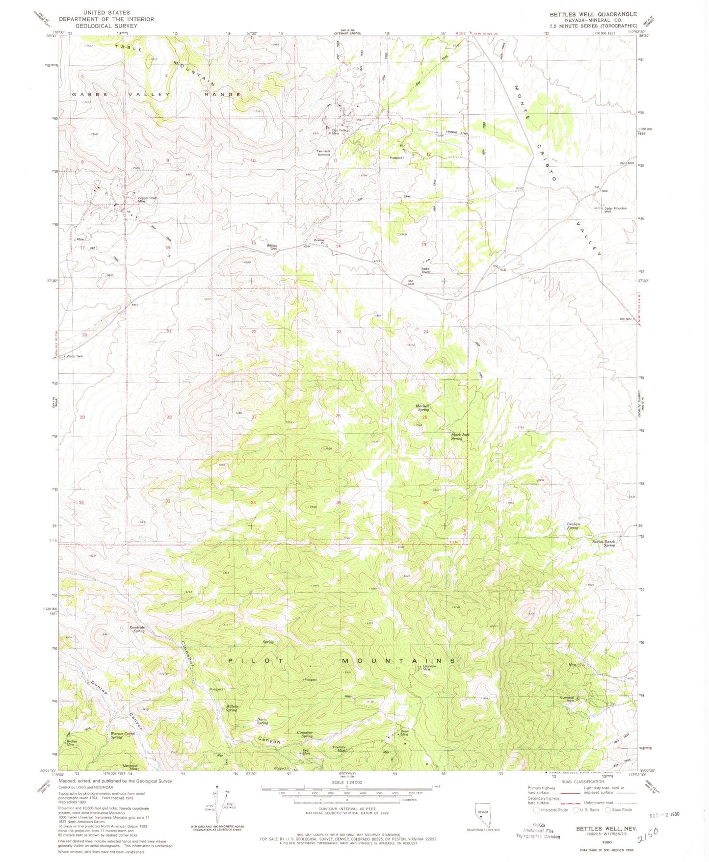
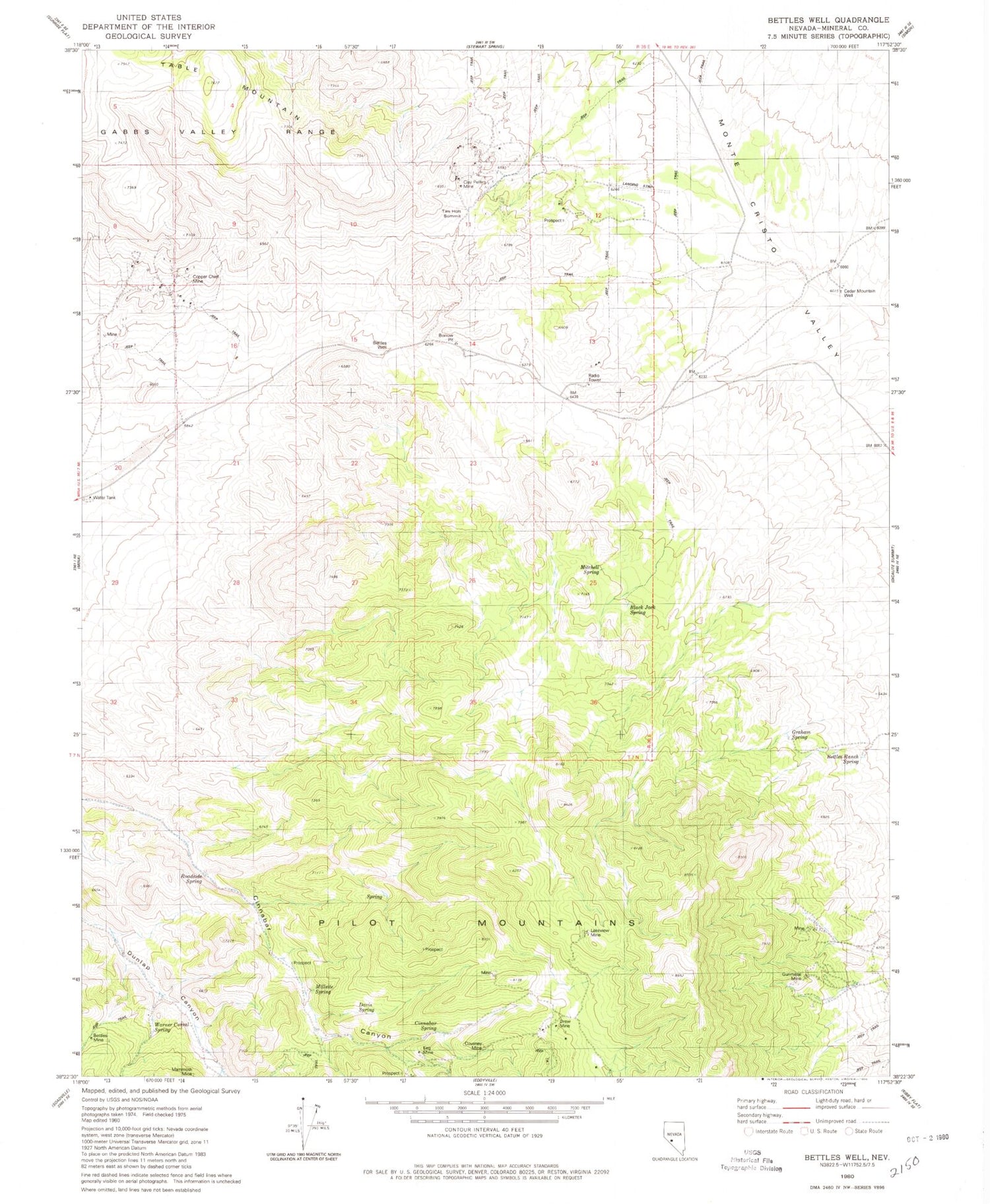
Classic USGS Bettles Well Nevada 7.5'x7.5' Topo Map
Couldn't load pickup availability
Historical USGS topographic quad map of Bettles Well in the state of Nevada. Map scale may vary for some years, but is generally around 1:24,000. Print size is approximately 24" x 27"
This quadrangle is in the following counties: Mineral.
The map contains contour lines, roads, rivers, towns, and lakes. Printed on high-quality waterproof paper with UV fade-resistant inks, and shipped rolled.
Contains the following named places: Bettles Mine, Bettles Ranch Spring, Bettles Well, Black Jack Spring, Cedar Mountain Well, Cinnabar Spring, Clay Peters Mine, Copper Chief Mine, Corner Spring, Coveney Mine, Davis Spring, Drew Mine, Garnet Mine, Graham Spring, Gunmetal Mine, Keg Mine, Klondike, Kope Scheelite Mine, Lakeview Mine, Lindsey Mine, Mammoth Mine, Millsite Spring, Mitchell Spring, Pilot Mountains Mining District, Point of Hill Spring, Redwing Mine, Roadside Spring, South Mitchell Spring, Sullivans Camp, Table Mountain, Taylor Spring, Tim Holt Summit, Warner Corral Spring, Wild Cat Spring, Yellow Spring