MyTopo
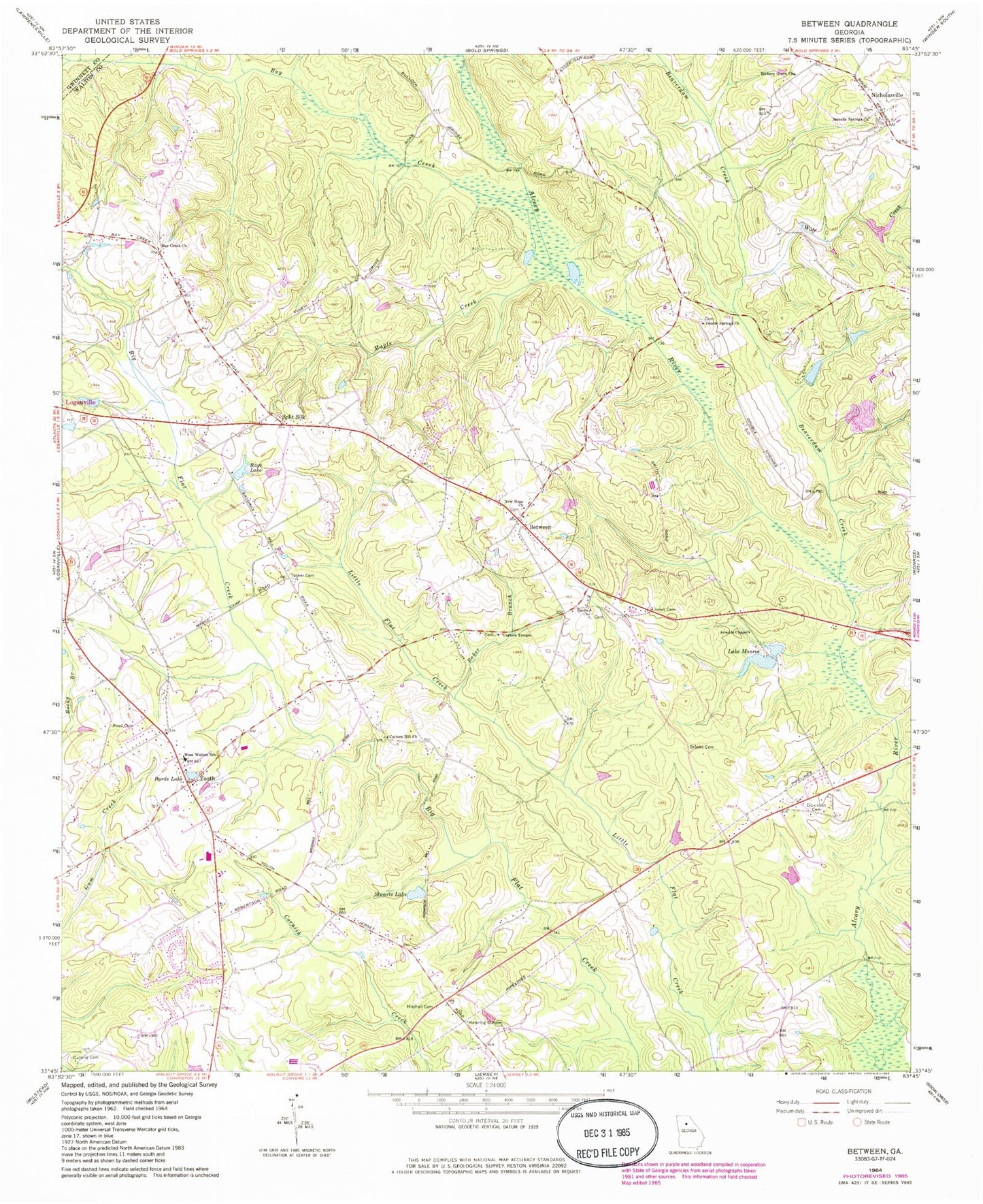
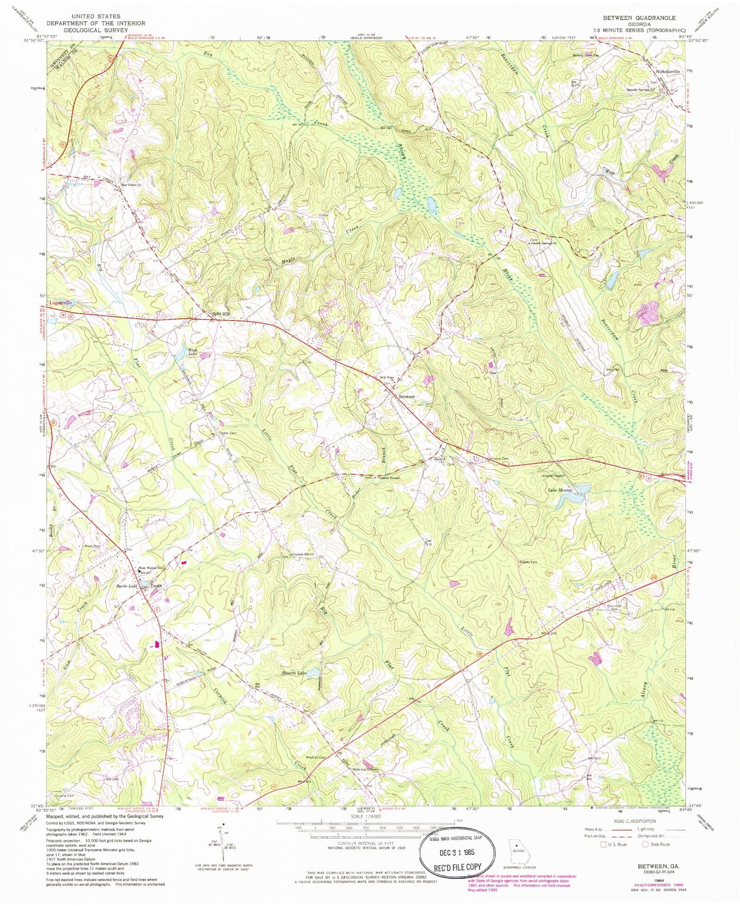
Classic USGS Between Georgia 7.5'x7.5' Topo Map
Couldn't load pickup availability
Historical USGS topographic quad map of Between in the state of Georgia. Map scale may vary for some years, but is generally around 1:24,000. Print size is approximately 24" x 27"
This quadrangle is in the following counties: Gwinnett, Walton.
The map contains contour lines, roads, rivers, towns, and lakes. Printed on high-quality waterproof paper with UV fade-resistant inks, and shipped rolled.
Contains the following named places: Arnolds Chapel, Assembly Church, Atha Road Elementary School, Baker Branch, Bay Creek, Bay Creek Church, Beaverdam Creek, Between, Black Dam, Black Lake, Broadnax Mill, Brooks Cemetery, Byrds Lake, Camp Dam, Camp Lake, Carters Hill Church, Carters Hill School, Carters Temple, Church of Christ, Corinth Church, Corinth Memorial Gardens, Dickinson Cemetery, Double Springs Church, Double Springs School, Faith Academy, Full Gospel Church, Grace Church, Guthrie Cemetery, Hickory Grove Church, House Lake, House Lake Dam, Jones Cemetery, Lake Monroe, Lake Monroe Dam, Loganville Christian Academy, Loganville Division, Loganville High School, Loganville Police Department, Maple Creek, Mitchell Cemetery, New Hope Church, Nicholasville, Rays Lake, Reed Cemetery, Sardis Church, Sorrells Springs Church, Split Silk, Spring Valley Farm Airport, Stuarts Lake, Stuarts Lake Dam, Town of Between, Tucker Cemetery, Walker Park Elementary School, Walnut Grove High School, WALR-FM (Athens), Walton County Emergency Medical Services Unit 3, Walton County Emergency Medical Services Unit 4, Walton County Fire Rescue Department Station 12, Walton County Fire Rescue Department Station 4, Walton County Fire Station, West Walton School, Williamson Lake, Williamson Lake Dam, Wolf Creek, Youth, Youth Church, Youth Elementary School, Youth Middle School


