MyTopo
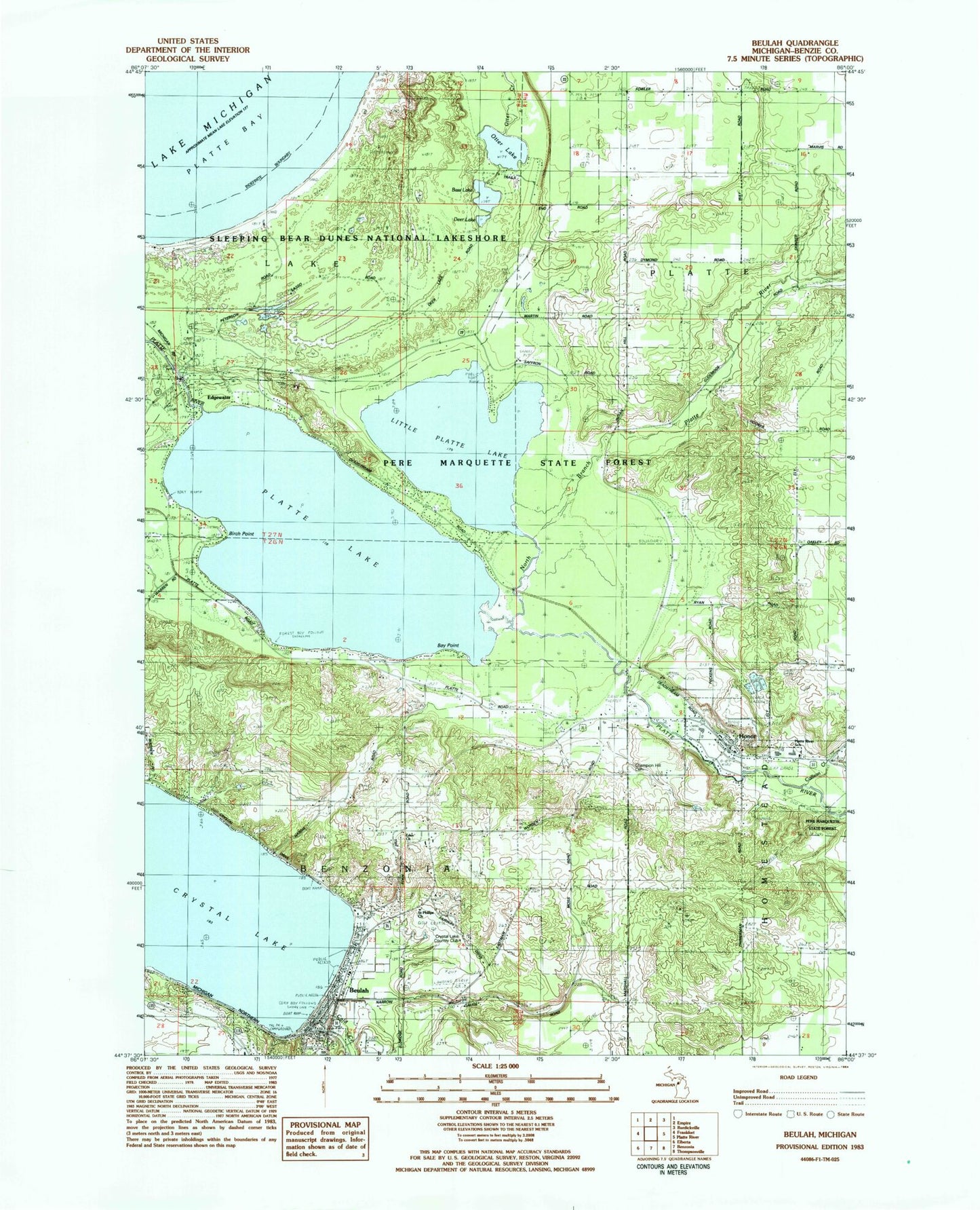
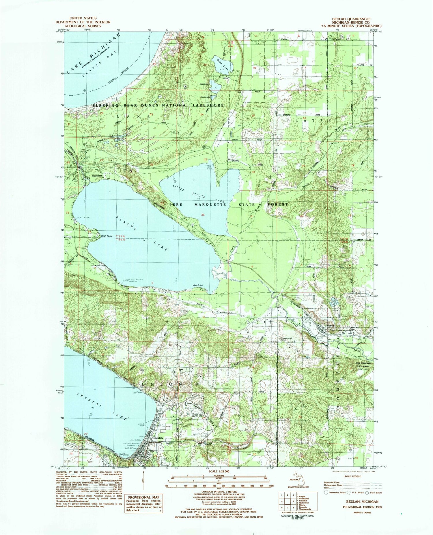
Classic USGS Beulah Michigan 7.5'x7.5' Topo Map
Couldn't load pickup availability
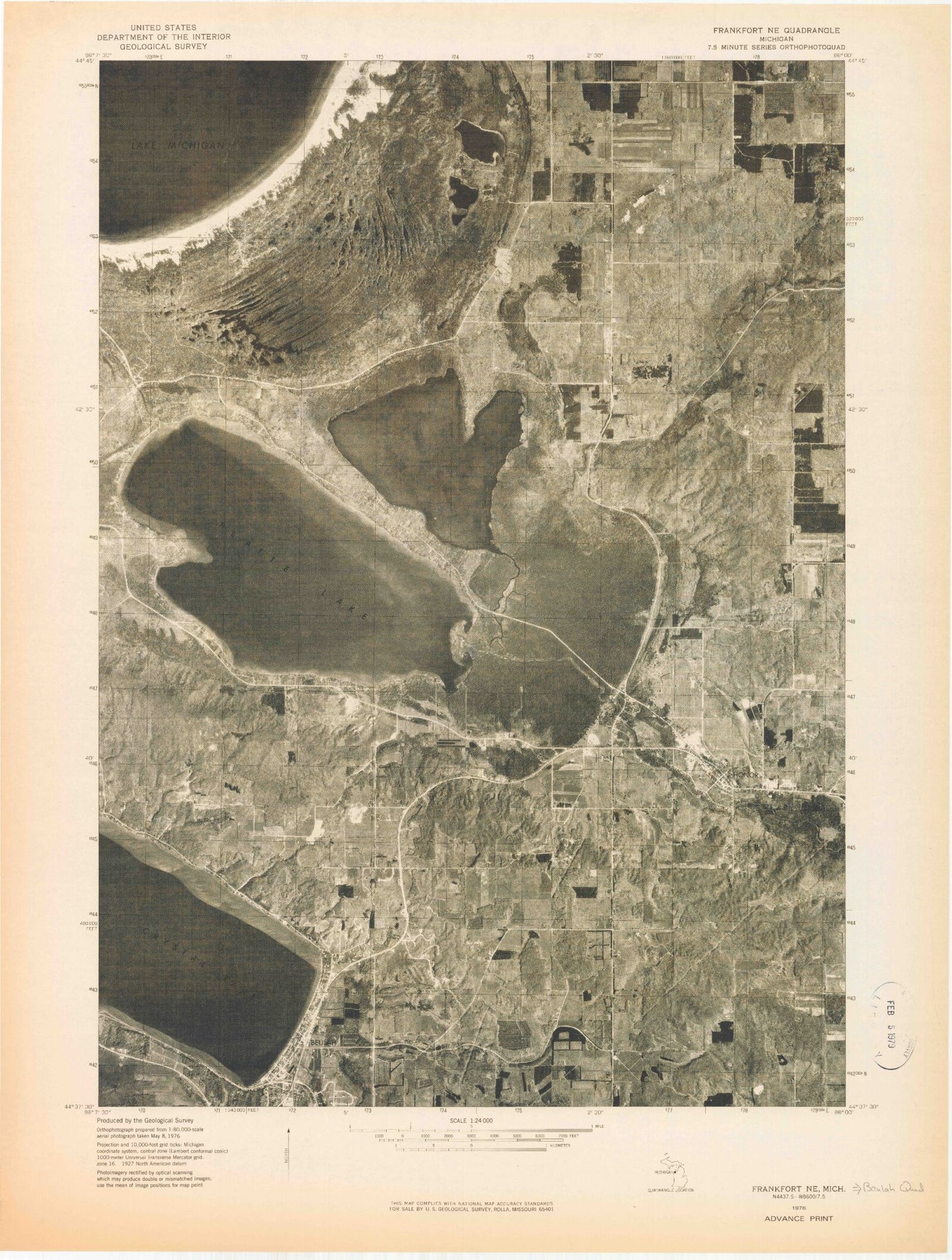
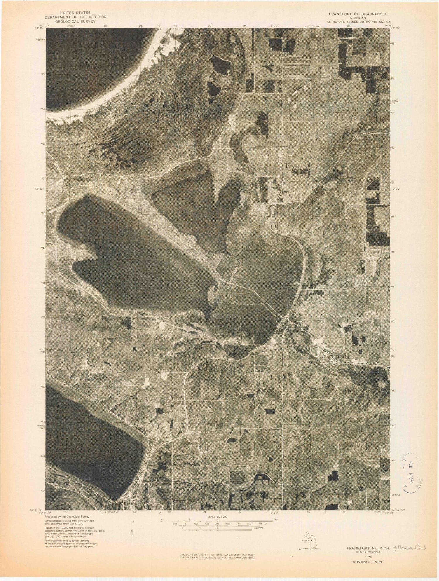
Historical USGS topographic quad map of Beulah in the state of Michigan. Typical map scale is 1:24,000, but may vary for certain years, if available. Print size: 24" x 27"
This quadrangle is in the following counties: Benzie.
The map contains contour lines, roads, rivers, towns, and lakes. Printed on high-quality waterproof paper with UV fade-resistant inks, and shipped rolled.
Contains the following named places: Bass Lake, Bay Point, Benzie State Park (historical), Beulah, Birch Point, Champion Hill Cemetery, Cold Creek, Collison Creek, Deer Lake, Eden Church, Honor, Lighthouse Tabernacle, Little Platte Lake, North Branch Platte River, Otter Lake, Platte Bay, Platte Lake, Saint Philips Episcopal Church, Platte River Elementary School, Crystal Lake Country Club, Honor Lookout Tower, Township of Benzonia, Beulah Post Office, Honor Post Office, Cherry Bowl Drive-In Theatre, Beulah Boat Ramp, Averytown (historical), Beulah Beach, Honor Sewage Lagoons, Nichols Road Creek, Pinecroft Golf Plantation, Saint Andrews Presbyterian Church, Trapp Farm Nature Preserve, Edgewater, Village of Beulah, Village of Honor, White Pine Campground, Honor Station (historical), Honor Family Medicine Clinic, Honor Congregational Church, Honor Village Hall, Homestead Township Hall, Lake Township Hall, Beulah Station (historical), Beulahland Wesleyan Church, Church of Christ, Champion Hill Golf Course, Beulah Public Library, Beulah Police Department, Benzie County Government Center, Stormer Post Office (historical), Edgewater Post Office (historical), Stormer Station (historical), Pinecroft Golf Course, Crystal Lake Clinic, Lake Township Volunteer Fire Department, Homestead Township Fire Department, Michigan State Police Honor


