
MyTopo
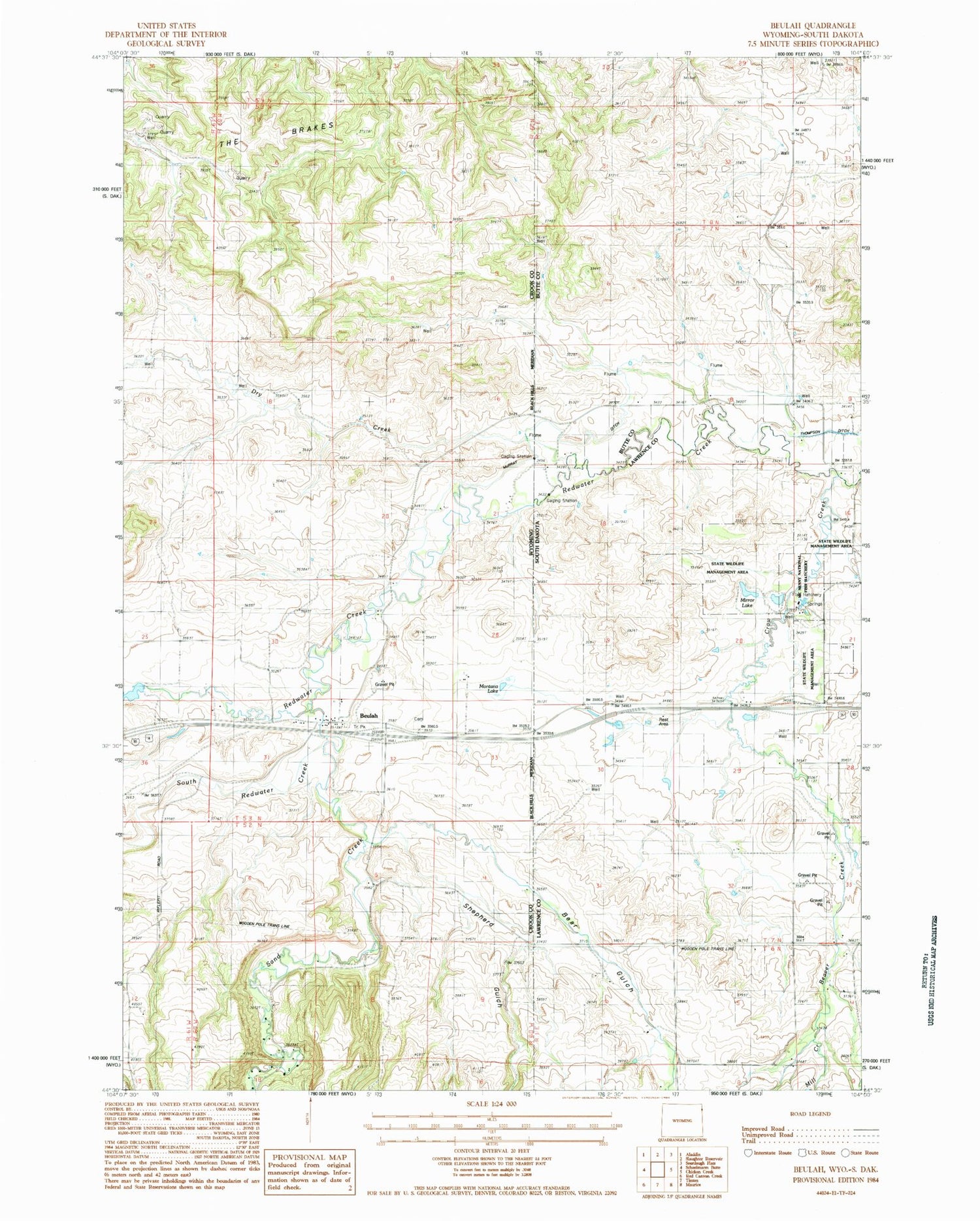
Classic USGS Beulah Wyoming 7.5'x7.5' Topo Map
Couldn't load pickup availability
Historical USGS topographic quad map of Beulah in the states of Wyoming, South Dakota. Map scale may vary for some years, but is generally around 1:24,000. Print size is approximately 24" x 27"
This quadrangle is in the following counties: Butte, Crook, Lawrence.
The map contains contour lines, roads, rivers, towns, and lakes. Printed on high-quality waterproof paper with UV fade-resistant inks, and shipped rolled.
Contains the following named places: Bear Gulch, Beaver Creek, Beaver Creek School, Beulah, Beulah Cemetery, Beulah Census Designated Place, Beulah Post Office, Crow Creek, Dry Creek, McNenny Fish Hatchery, Mill Creek, Miller Ditch, Montana Lake, Murray Lake, Redwater Creek, Sand Creek, Shepherd Gulch, South Redwater Creek, State Wildlife Management Area, The Brakes


