MyTopo
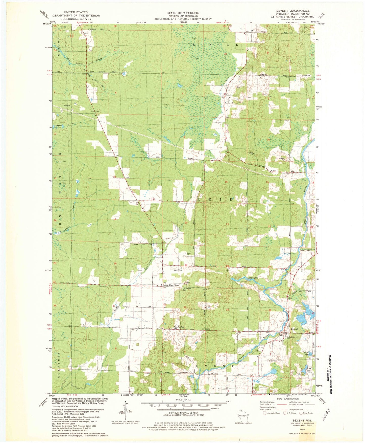
Classic USGS Bevent Wisconsin 7.5'x7.5' Topo Map
Couldn't load pickup availability
Historical USGS topographic quad map of Bevent in the state of Wisconsin. Map scale may vary for some years, but is generally around 1:24,000. Print size is approximately 24" x 27"
This quadrangle is in the following counties: Marathon.
The map contains contour lines, roads, rivers, towns, and lakes. Printed on high-quality waterproof paper with UV fade-resistant inks, and shipped rolled.
Contains the following named places: Bear Lake, Bevent, Dallman Dairy Farm, Fox Lake, Furmanek Farms, Little Bull Junior Creek, Little Eau Claire, Majestic Farms Greenhouse, Osowski Farm, Our Saviors Cemetery, Peacefull Rest Cemetery, Pike Lake Creek, Plover River Airfield, Przybylski Farm, Rosenberry School, Saint Ladislaus Catholic Cemetery, Saint Ladislaus School, Town of Reid, Turtle Lake, Tyler School, ZIP Code: 54440