MyTopo
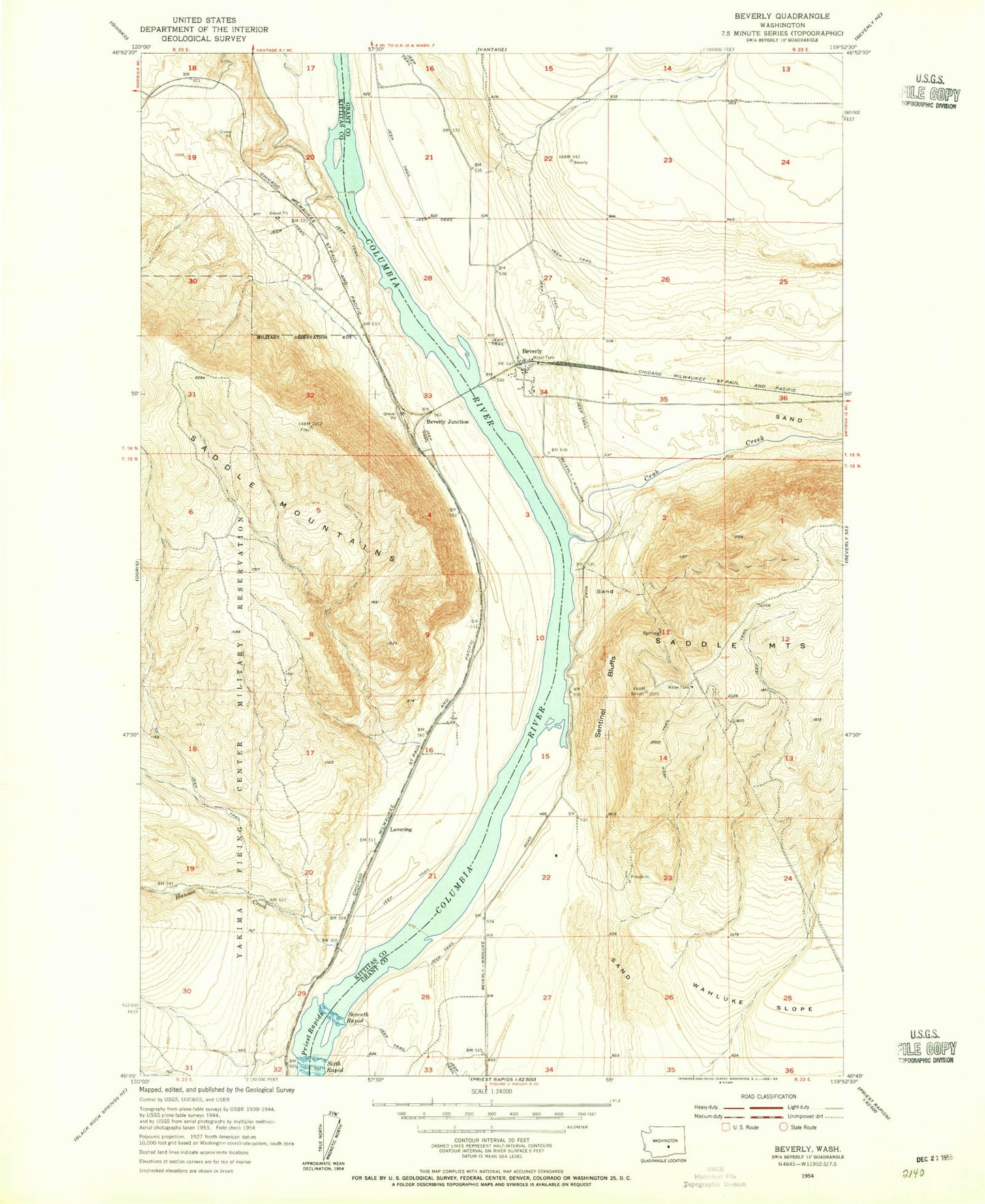
Classic USGS Beverly Washington 7.5'x7.5' Topo Map
Couldn't load pickup availability
Historical USGS topographic quad map of Beverly in the state of Washington. Map scale may vary for some years, but is generally around 1:24,000. Print size is approximately 24" x 27"
This quadrangle is in the following counties: Grant, Kittitas.
The map contains contour lines, roads, rivers, towns, and lakes. Printed on high-quality waterproof paper with UV fade-resistant inks, and shipped rolled.
Contains the following named places: Beverly, Beverly Census Designated Place, Beverly Junction, Beverly Post Office, Cohasset, Grant County Fire District 10 Station 3 Beverly, Hanson Creek, Levering, Lower Crab Creek, Nunnally Lake, Priest Rapids, Schwana, Schwana Census Designated Place, Sentinel Bluffs, Sentinel Gap, Wanapum Dam, Wanapum Village