MyTopo
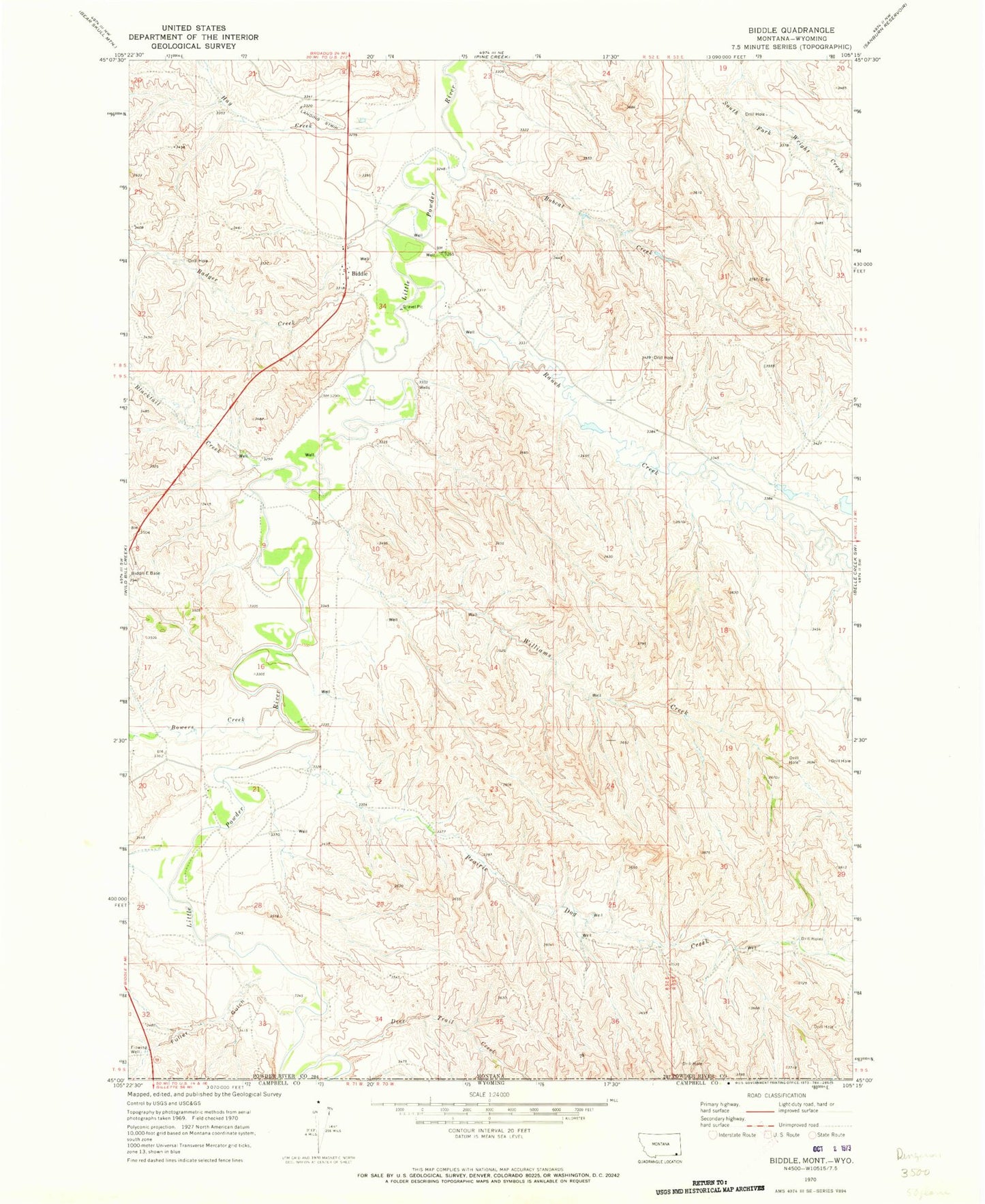
Classic USGS Biddle Montana 7.5'x7.5' Topo Map
Couldn't load pickup availability
Historical USGS topographic quad map of Biddle in the state of Montana. Map scale may vary for some years, but is generally around 1:24,000. Print size is approximately 24" x 27"
This quadrangle is in the following counties: Campbell, Powder River.
The map contains contour lines, roads, rivers, towns, and lakes. Printed on high-quality waterproof paper with UV fade-resistant inks, and shipped rolled.
Contains the following named places: 08S52E20ADA_01 Well, 08S52E27CC__01 Well, 08S52E27DD__01 Well, 08S53E29BCBB01 Well, 09S52E13DC__01 Well, 09S52E16CCCB01 Well, 59314, Badger Creek, Biddle, Biddle Census Designated Place, Biddle Post Office, Biddle Volunteer Fire Department, Blacktail Creek, Bobcat Creek, Bowers Creek, Deep Creek, Deer Trail Creek, Fuller Gulch, Hay Creek, Kendricknumber 1 Dam, Little Hay Creek, Myrtle Creek, Prairie Dog Creek, Rambo Gulch, Ranch Creek, Wild Bill Creek, Williams Creek, Wilson Gulch