MyTopo
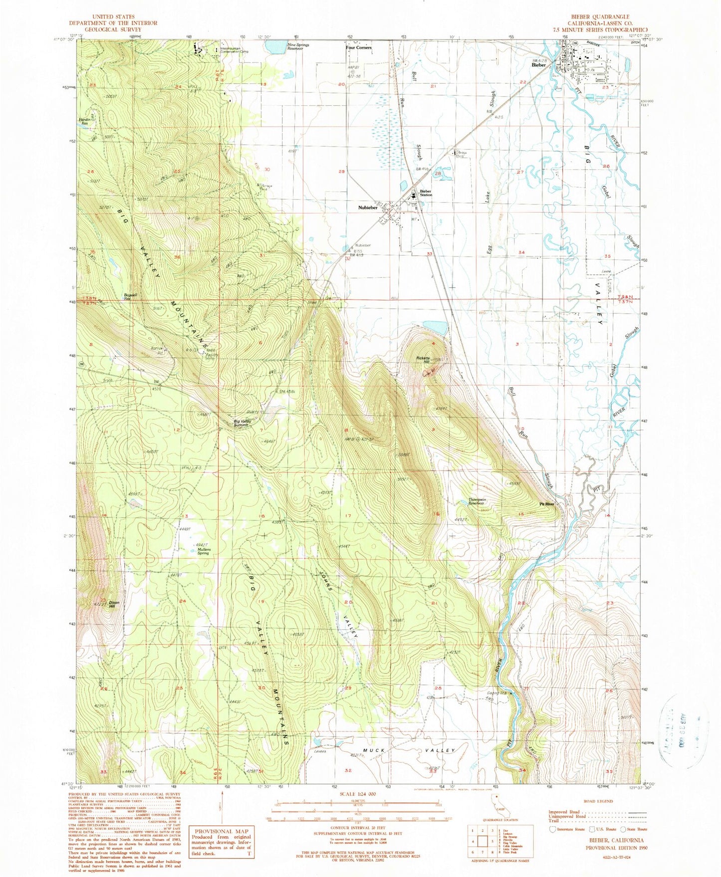
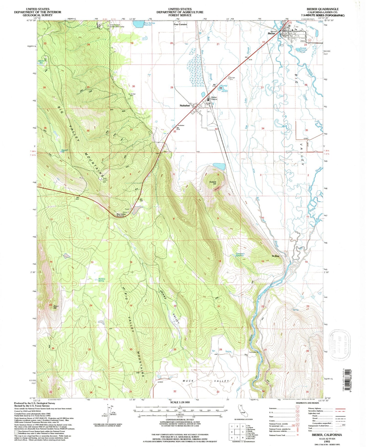
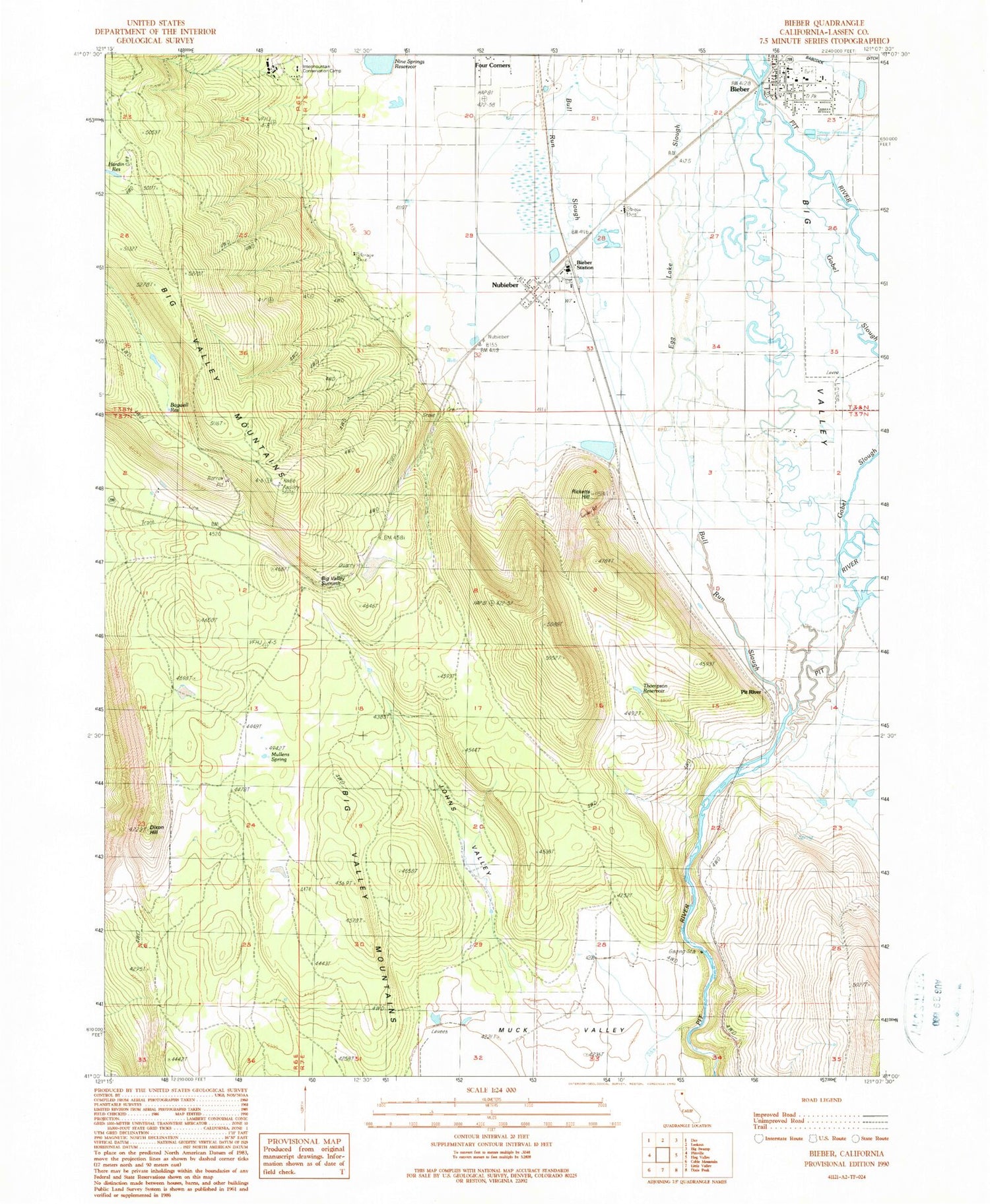
Classic USGS Bieber California 7.5'x7.5' Topo Map
Couldn't load pickup availability
Historical USGS topographic quad map of Bieber in the state of California. Map scale may vary for some years, but is generally around 1:24,000. Print size is approximately 24" x 27"
This quadrangle is in the following counties: Lassen.
The map contains contour lines, roads, rivers, towns, and lakes. Printed on high-quality waterproof paper with UV fade-resistant inks, and shipped rolled.
Contains the following named places: Bagwell Reservoir, Bieber, Bieber Post Office, Bieber Station, Big Valley, Big Valley Fire Protection District, Big Valley High School, Big Valley Intermediate School, Big Valley Summit, Bull Run Slough, Cal Fire Lassen Modoc Unit Bieber Fire Station, Clara Bieber Memorial Park, Dixon Hill, Egg Lake Slough, Four Corners, Gobel Slough, Grace Bible Church, Grace Christian Academy, Hardin Reservoir, Hillside Cemetery, Intermountain Conservation Camp, Johns Valley, Muck Valley, Mullens Spring, Nine Springs 1245 Dam, Nine Springs Reservoir, Nubieber, Nubieber Census Designated Place, Nubieber Post Office, Pit River, Ricketts Hill, Thompson Reservoir, ZIP Code: 96068