
MyTopo
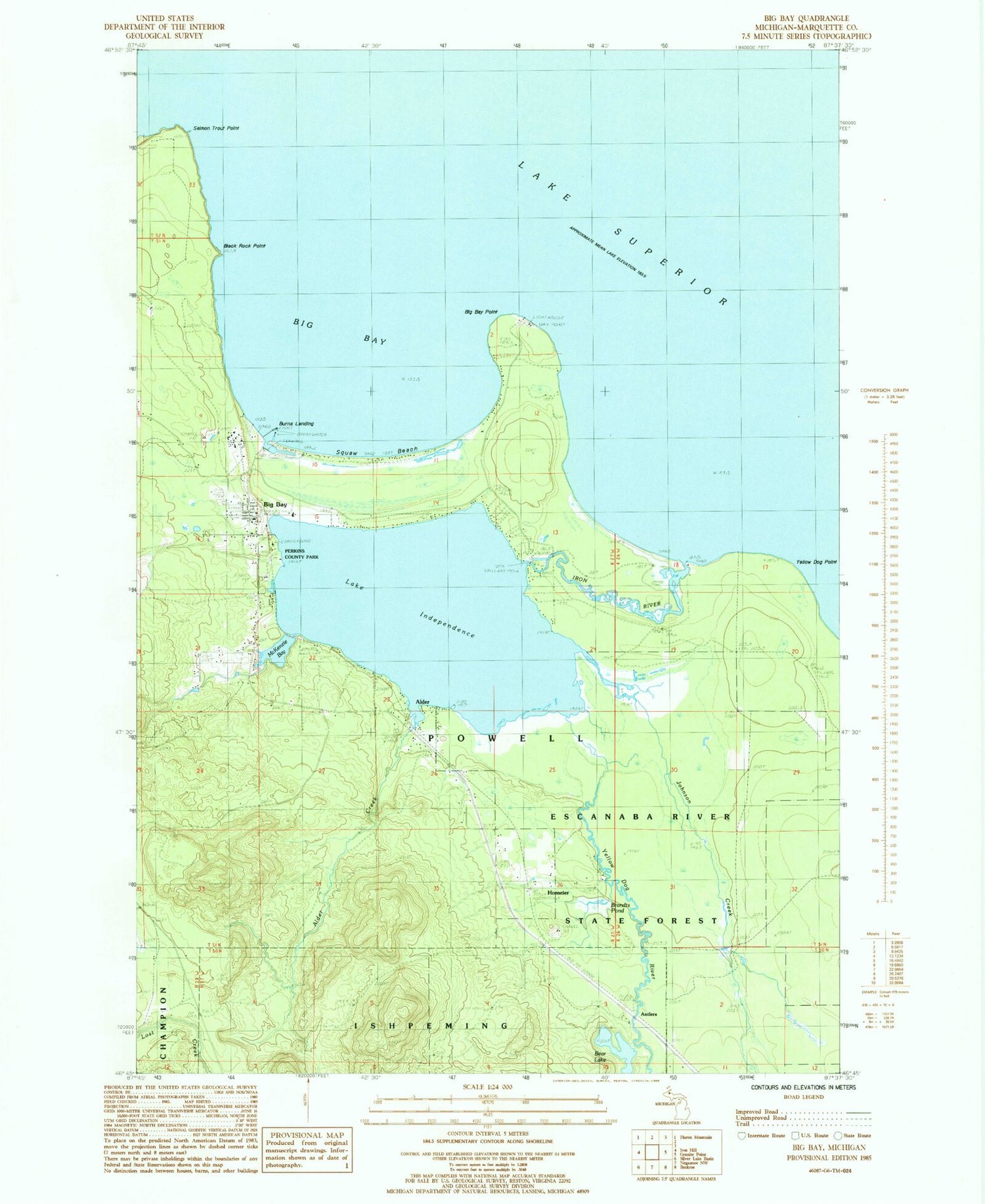
Classic USGS Big Bay Michigan 7.5'x7.5' Topo Map
Couldn't load pickup availability
Historical USGS topographic quad map of Big Bay in the state of Michigan. Typical map scale is 1:24,000, but may vary for certain years, if available. Print size: 24" x 27"
This quadrangle is in the following counties: Marquette.
The map contains contour lines, roads, rivers, towns, and lakes. Printed on high-quality waterproof paper with UV fade-resistant inks, and shipped rolled.
Contains the following named places: Alder, Alder Creek, Bay Cliff Health Camp, Bear Lake, Big Bay, Big Bay, Big Bay Point, Lake Independence, McKenzie Bay, Salmon Trout Point, Squaw Beach, Yellow Dog Point, Yellow Dog River, Antlers, Burns Landing, Homeier, Iron River, Johnson Creek, Brandts Pond, Perkins County Park, Black Rock Cape, Alder Falls, Big Bay Post Office, Big Bay Station (historical), Presbyterian Church of Big Bay, Saint Mary's Catholic Church, Powell Township School, Big Bay Cemetery, Big Bay Census Designated Place, Powell Township Fire Department and Emergency Medical Services Station 1 Big Bay


