MyTopo
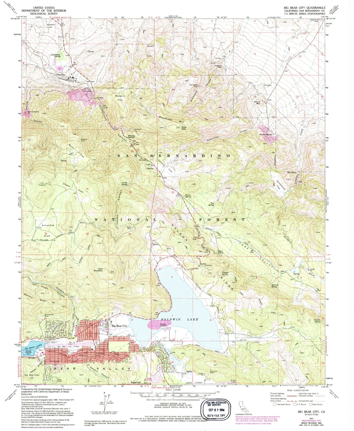
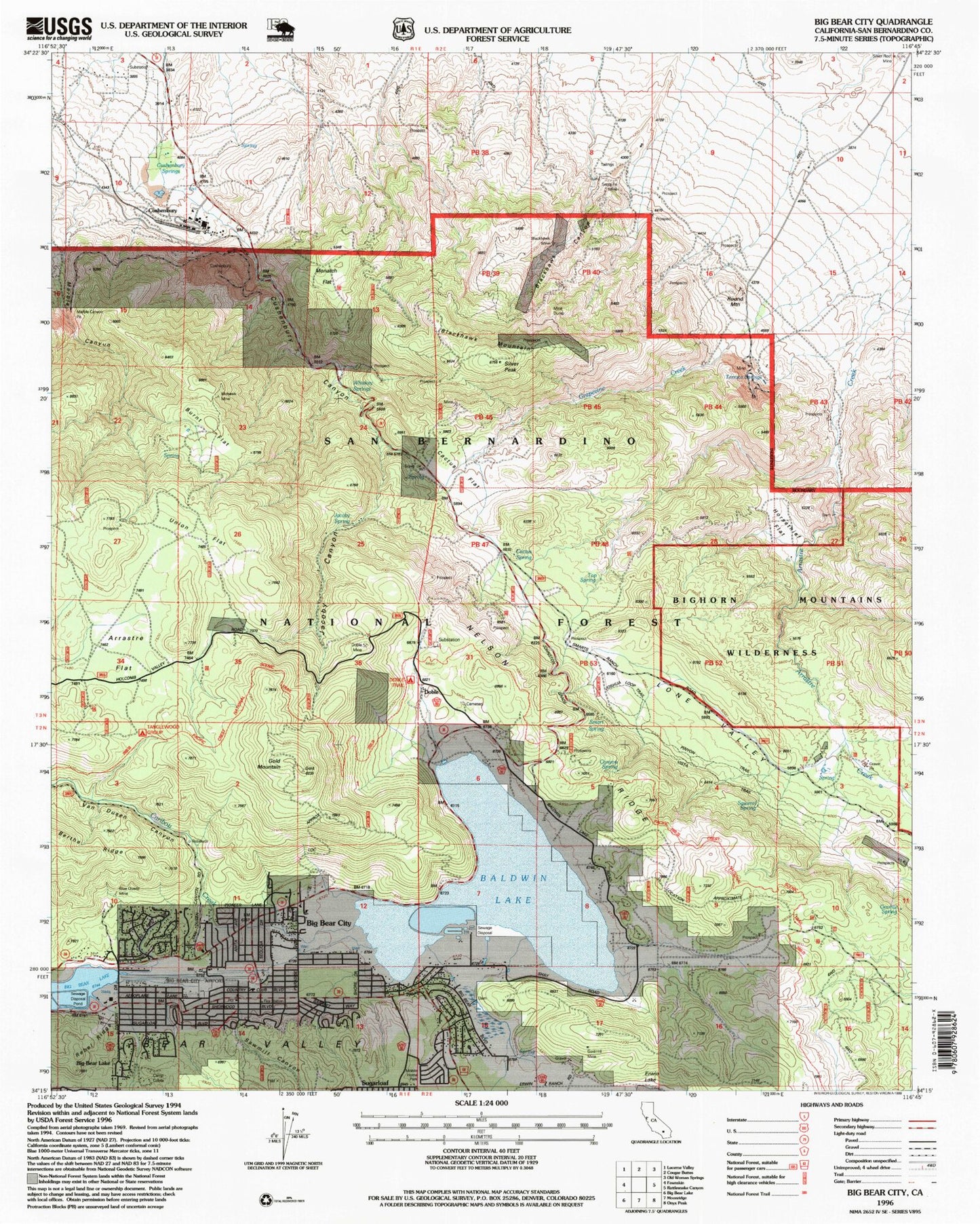
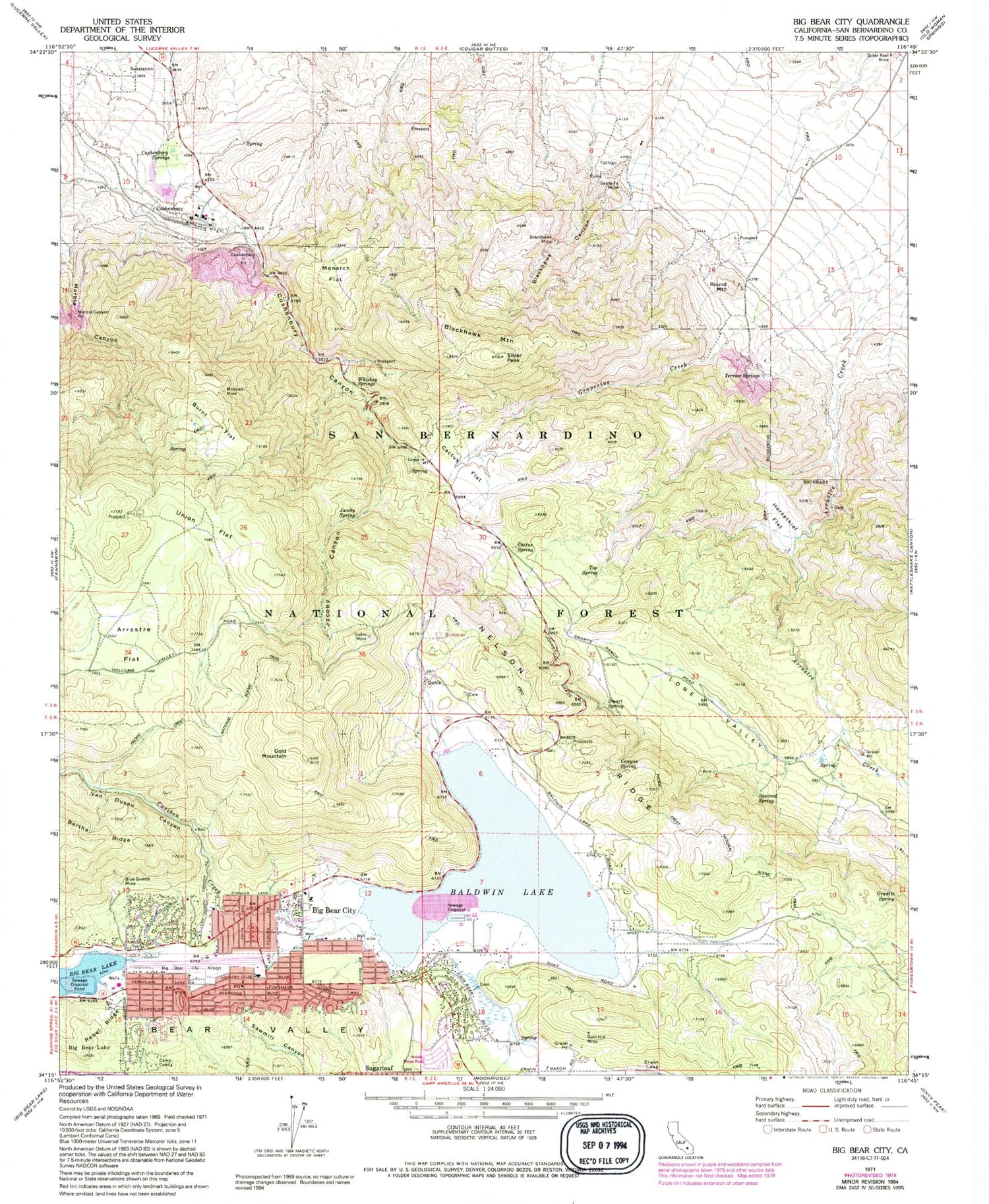
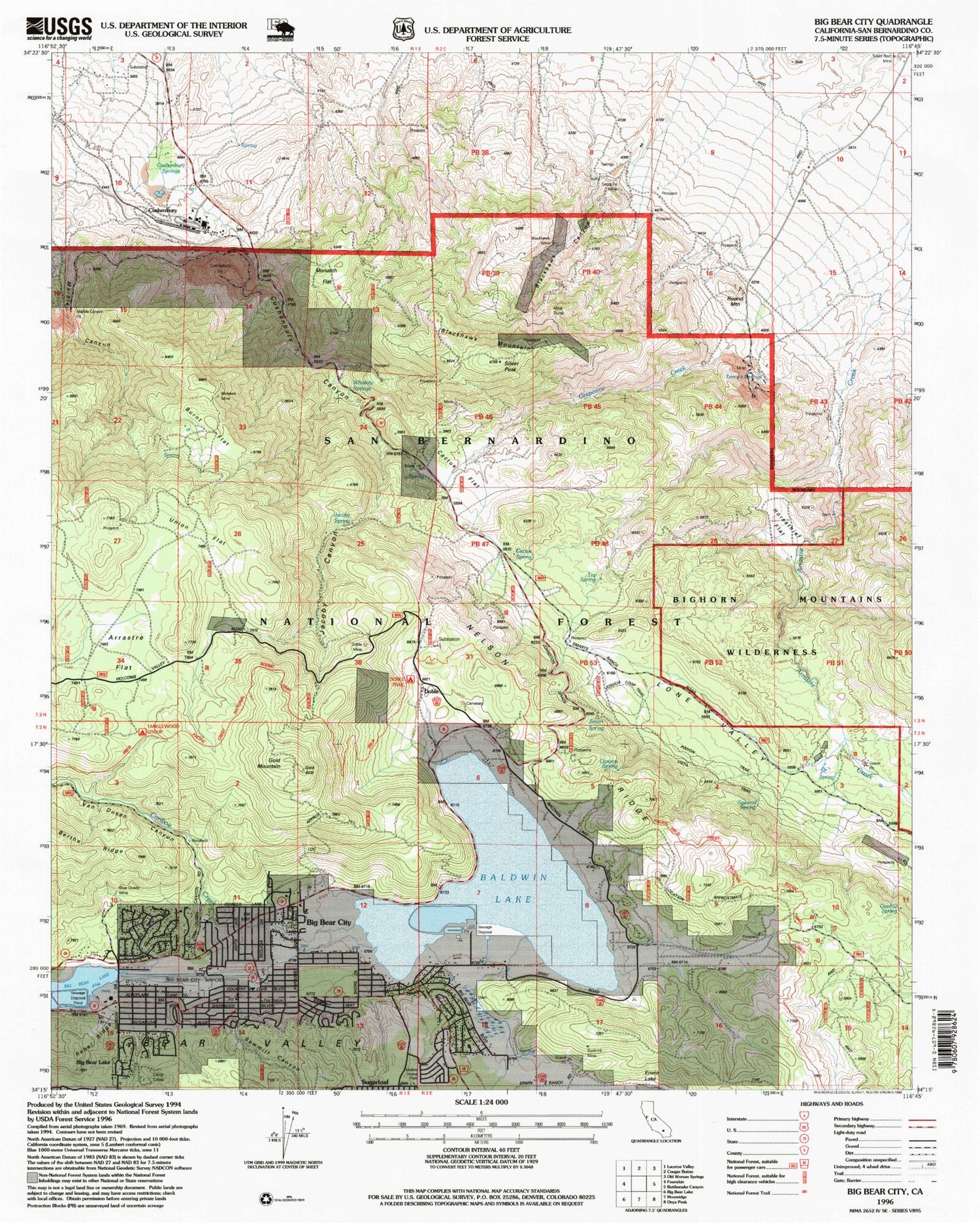
USGS Classic Big Bear City California 7.5'x7.5' Topo Map
Couldn't load pickup availability
Historical USGS topographic quad map of Big Bear City in the state of California. Scale: 1:24000. Print size: 24" x 27"
This quadrangle is in the following counties: San Bernardino.
The map contains contour lines, roads, rivers, towns, lakes, and grids including latitude / longitude and UTM / MGRS. Printed on high-quality waterproof paper with UV fade-resistant inks.
Contains the following named places: Arrastre Flat, Baldwin Lake, Bear Valley, Blackhawk Canyon, Blackhawk Mine, Blackhawk Mountain, Blue Quartz Mine, Burnt Flat, Cactus Flat, Cactus Spring, Camp Cohila, Canyon Spring, Caribou Creek, Cushenbury Canyon, Cushenbury Pit, Cushenbury Springs, Doble, Doble Mine, Gold Hill Mine, Gold Mountain, Granite Spring, Grapevine Creek, Horsethief Flat, Jacoby Canyon, Jacoby Spring, Marble Canyon, Marble Canyon Pit, Mohawk Mine, Monarch Flat, Nelson Ridge, Rebel Ridge, Santa Fe Mine, Sawmill Canyon, Silver Peak, Smart Spring, Squirrel Spring, Terrace Springs, Top Spring, Union Flat, Van Dusen Canyon, Whiskey Springs, Lone Valley, Tanglewood Group Campground, Doble Trail Campground, Joshua Trees, Big Bear City Airport, Big Bear City, Cushenbury, Round Mountain, KBBV-AM (Big Bear Lake), Pan Hot Springs, Saragossa Spring, Smarts Ranch, Baldwin Lake, Big Bear City Park, Big Bear City Post Office, Big Bear Convention Center, Big Bear High School, Gold Mountain Memorial Park, Lakeview Mill (historical), Baldwin Lake Post Office (historical), Big Bear City Census Designated Place, Big Bear City Fire Department Station 282, Big Bear City Fire Department Station 283, Baldwin Lake Volunteer Fire Department, Burns Flat, Gold Mountain Memorial Park


