MyTopo
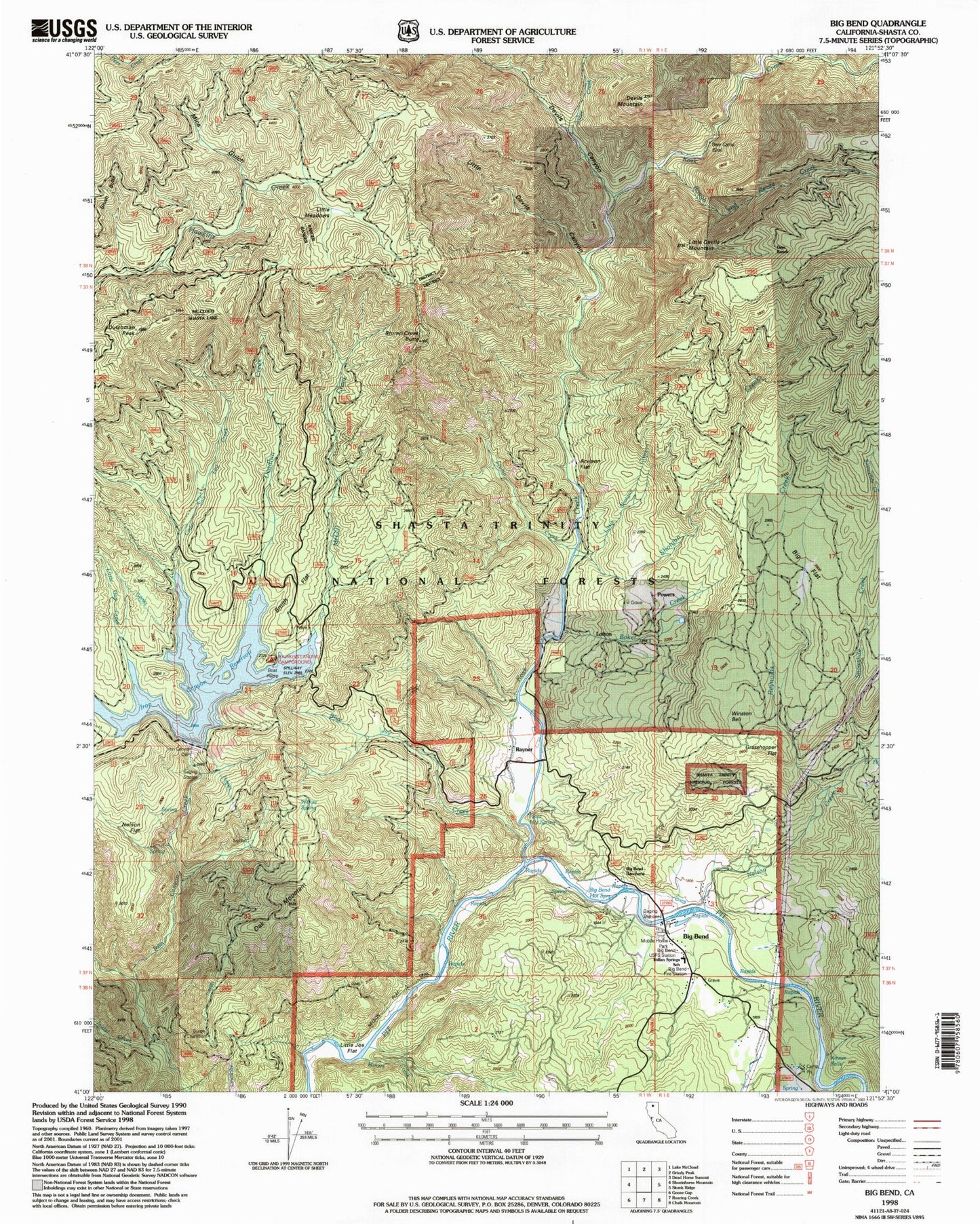
Classic USGS Big Bend California 7.5'x7.5' Topo Map
Couldn't load pickup availability
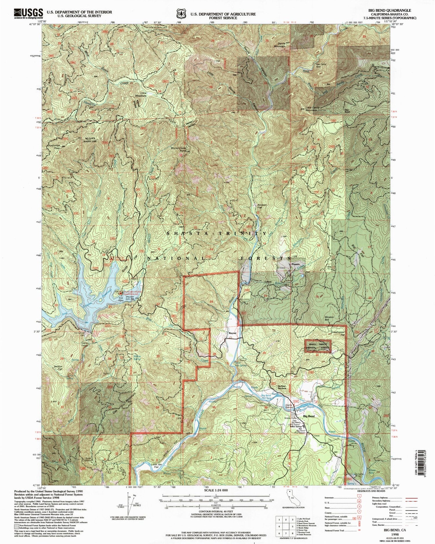
Historical USGS topographic quad map of Big Bend in the state of California. Map scale may vary for some years, but is generally around 1:24,000. Print size is approximately 24" x 27"
This quadrangle is in the following counties: Shasta.
The map contains contour lines, roads, rivers, towns, and lakes. Printed on high-quality waterproof paper with UV fade-resistant inks, and shipped rolled.
Contains the following named places: Alder Creek, Arvison Flat, Arvison Flat Guard Station, Baker Creek, Bear Camp, Big Bend, Big Bend Census Designated Place, Big Bend Hot Springs, Big Bend Indian Cemetery, Big Bend Post Office, Big Bend Rancheria, Big Bend US Forest Service Station, Big Bend Volunteer Fire Company 70, Big Cedar Camp, Big Flat, Blue Jay Creek, Camp Pit, Cedar Salt Log Creek, Cox Ranch, Deadlun Campground, Deadlun Creek, Deer Ranch, Devils Canyon, Devils Mountain, Dutchman Peak, East Fork Nelson Creek, Grasshopper Flat, Hawkins Landing Campground, Hunt Hot Spring, Indian Springs Elementary School, Initial Creek, Iron Canyon 97-124 Dam, Iron Canyon Reservoir, Kinner Falls, Kinner Ranch, Kosk Creek, Kosk School, Lengel Place, Little Devils Canyon, Little Devils Mountain, Little Gap Creek, Little Joe Flat, Little Meadows, Little Shotgun Creek, Lofton, McGill Creek, Mica Gulch, Nelson Creek, Nelson Flat, Nelson Flat Trail, Oak Mountain, Powers, Rayner, Reynolds Creek, Rough and Ready Creek, Shotgun Creek, Smith Flat, Snowslide Creek, Stump Creek, Stump Creek Butte, Willow Spring, Winston Bell, ZIP Code: 96011


