MyTopo
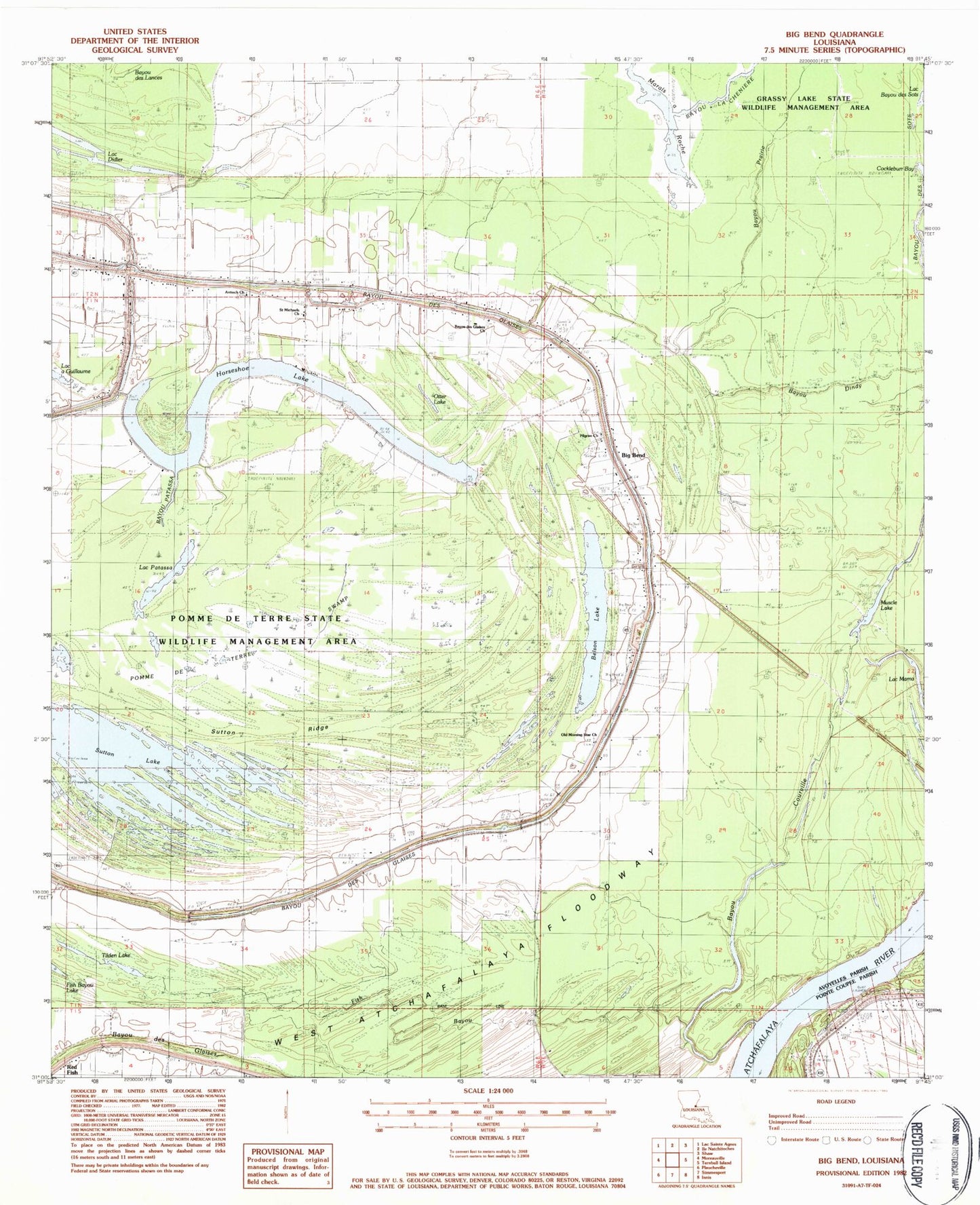
Classic USGS Big Bend Louisiana 7.5'x7.5' Topo Map
Couldn't load pickup availability
Historical USGS topographic quad map of Big Bend in the state of Louisiana. Map scale is 1:24000. Print size is approximately 24" x 27"
This quadrangle is in the following counties: Avoyelles, Pointe Coupee, West Feliciana.
The map contains contour lines, roads, rivers, towns, and lakes. Printed on high-quality waterproof paper with UV fade-resistant inks, and shipped rolled.
Contains the following named places: Antioch Church, Bayou Courville, Bayou des Glaises Church, Bayou Patassa, Belson Lake, Big Bend, Fish Bayou, Horseshoe Lake, Lac a Guillaume, Lac Mama, Lac Patassa, Marais a Roche, Muscle Lake, Old Morning Star Church, Otter Lake, Parish Governing Authority District 7, Pilgrim Church, Pomme De Terre State Wildlife Management Area, Pomme De Terre Swamp, Red Fish, Saint James Church, Saint Michaels Church, Sutton Lake, Sutton Ridge, Tilden Lake, Ward Six