MyTopo
Classic USGS Big Bend Missouri 7.5'x7.5' Topo Map
Couldn't load pickup availability
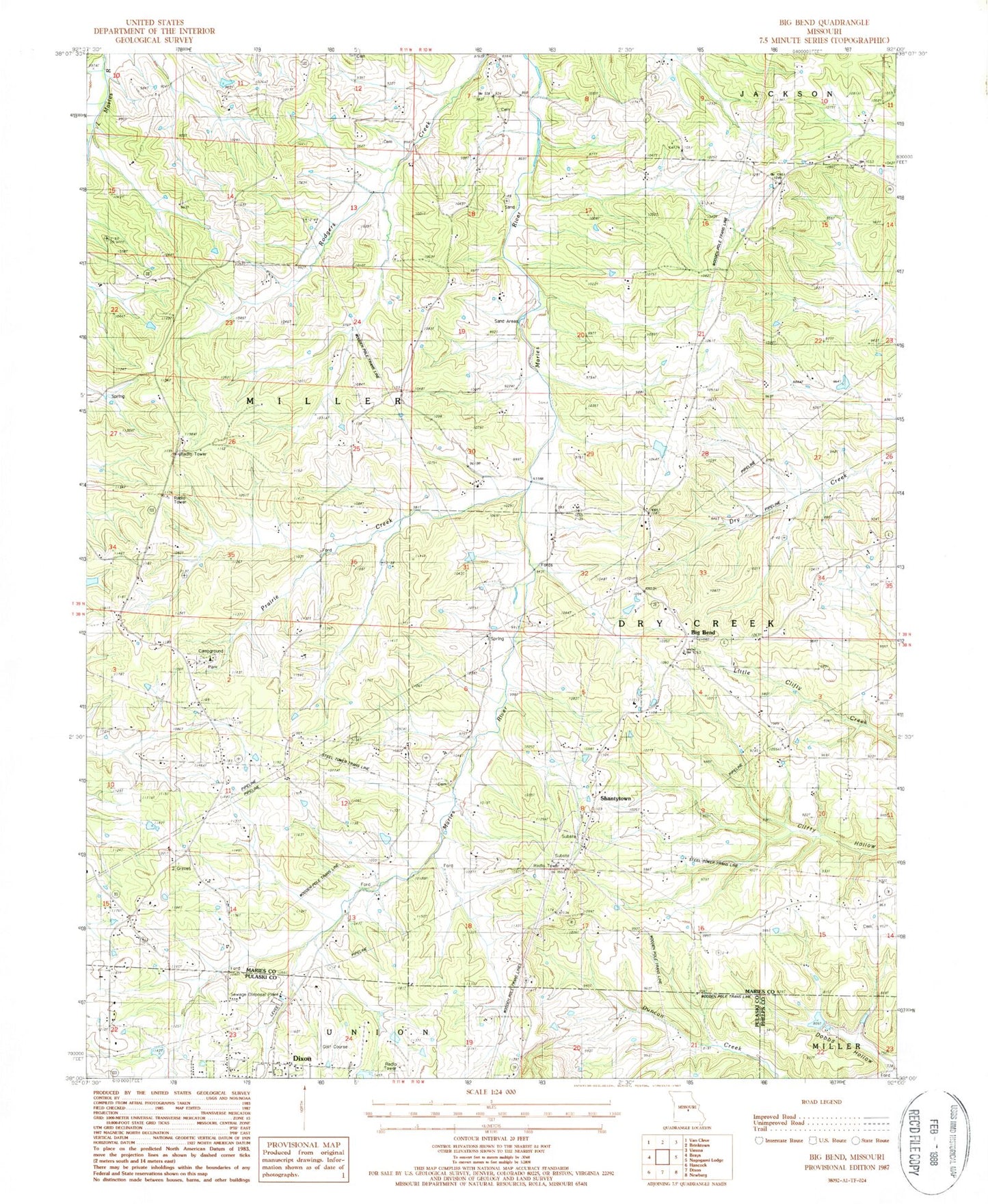
Historical USGS topographic quad map of Big Bend in the state of Missouri. Map scale may vary for some years, but is generally around 1:24,000. Print size is approximately 24" x 27"
This quadrangle is in the following counties: Maries, Phelps, Pulaski.
The map contains contour lines, roads, rivers, towns, and lakes. Printed on high-quality waterproof paper with UV fade-resistant inks, and shipped rolled.
Contains the following named places: Big Bend, Big V Ranch Lake, Branson School, Bronson School, Bumpass Cemetery, Clifty School, Dobbs Hollow, Dodd Cemetery, Knoblauch Lake, Knoblauch Lake Dam, Prairie Creek, Salem School, Santee School, Shantytown, Sherrell Lake Dam, Township of Miller, Veasmann Lake Dam, Vogt Dam, Weldon, Weldon Post Office, West Fairview School, ZIP Code: 65459