
MyTopo
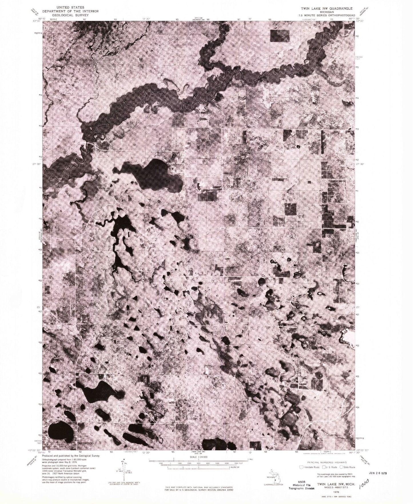
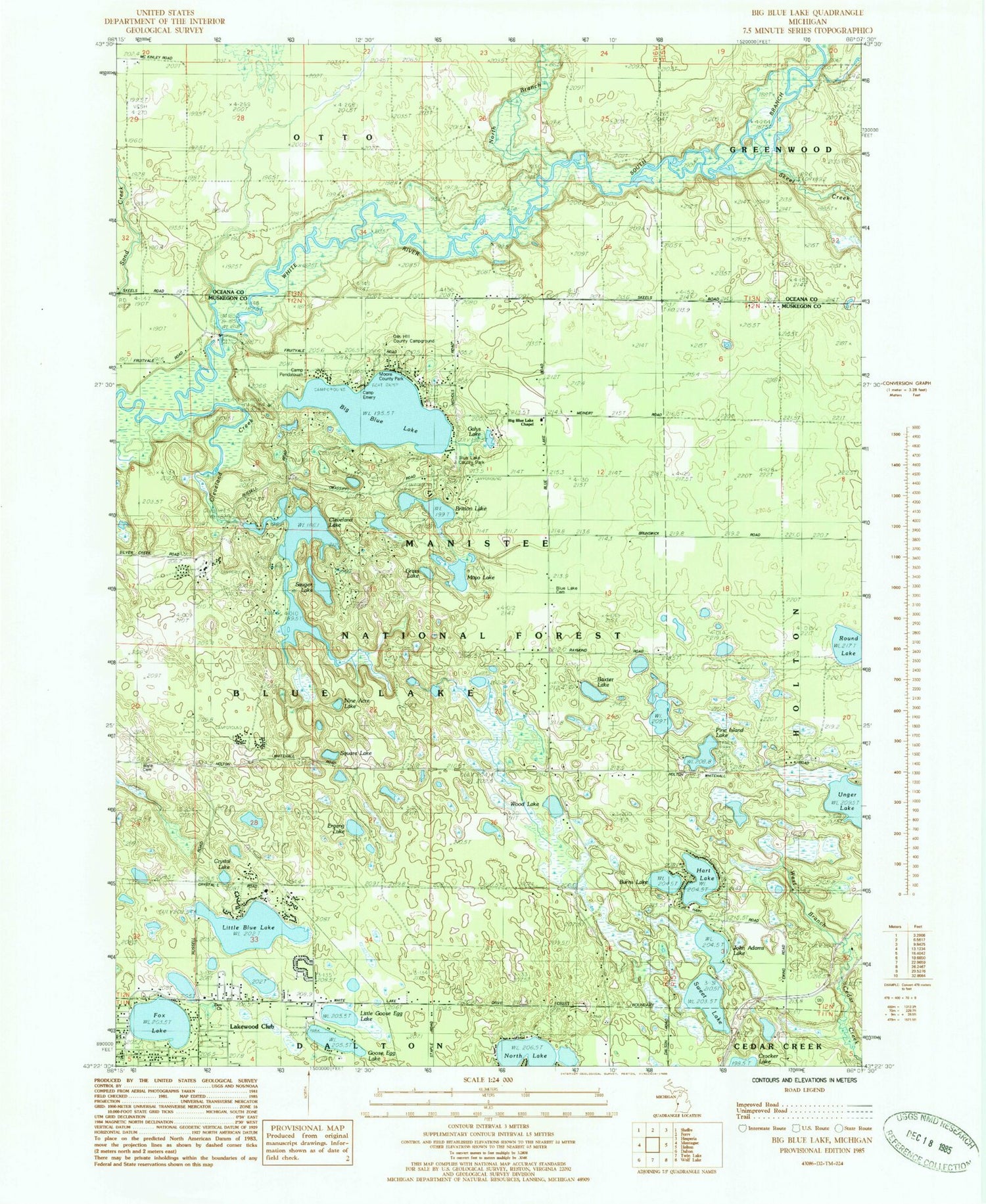
Classic USGS Big Blue Lake Michigan 7.5'x7.5' Topo Map
Couldn't load pickup availability
Historical USGS topographic quad map of Big Blue Lake in the state of Michigan. Typical map scale is 1:24,000, but may vary for certain years, if available. Print size: 24" x 27"
This quadrangle is in the following counties: Muskegon, Oceana.
The map contains contour lines, roads, rivers, towns, and lakes. Printed on high-quality waterproof paper with UV fade-resistant inks, and shipped rolled.
Contains the following named places: Big Blue Lake, Blue Lake Cemetery, Britton Lake, Camp Hardy, Cleveland Creek, Ergang Lake, Goose Egg Lake, Hart Lake, Mayo Lake, Pine Island Lake, Sweet Lake, Big Blue Lake Chapel, Blue Lake County Park, Burns Lake, Cleveland Lake, Fox Lake, John Adams Lake, Lakewood, Little Blue Lake, Nine Acre Lake, North Branch White River, North Lake, Round Lake, Skeel Creek, South Branch White River, Square Lake, West Branch Cedar Creek, Wood Lake, Sischo Bayou, Sischo Canoe landing, Diamond Access Canoe Landing, Township of Blue Lake, Zion Church, Little Goose Egg Lake, Crystal Lake, Baxter Lake, Sauger Lake, Grass Lake, Galys Lake, Camp Emery, Moore County Park, Oak Knoll Campground, Camp Pendalouah, Owasippe Post Office (historical), Blue Lake Post Office (historical), Saint Mary's of the Woods Parish, Emmanuel Congregational Church, Johnson Campground, Wave Cemetery, Blue Lake Township Fire Department Station 2, Blue Lake Township Fire Department