MyTopo
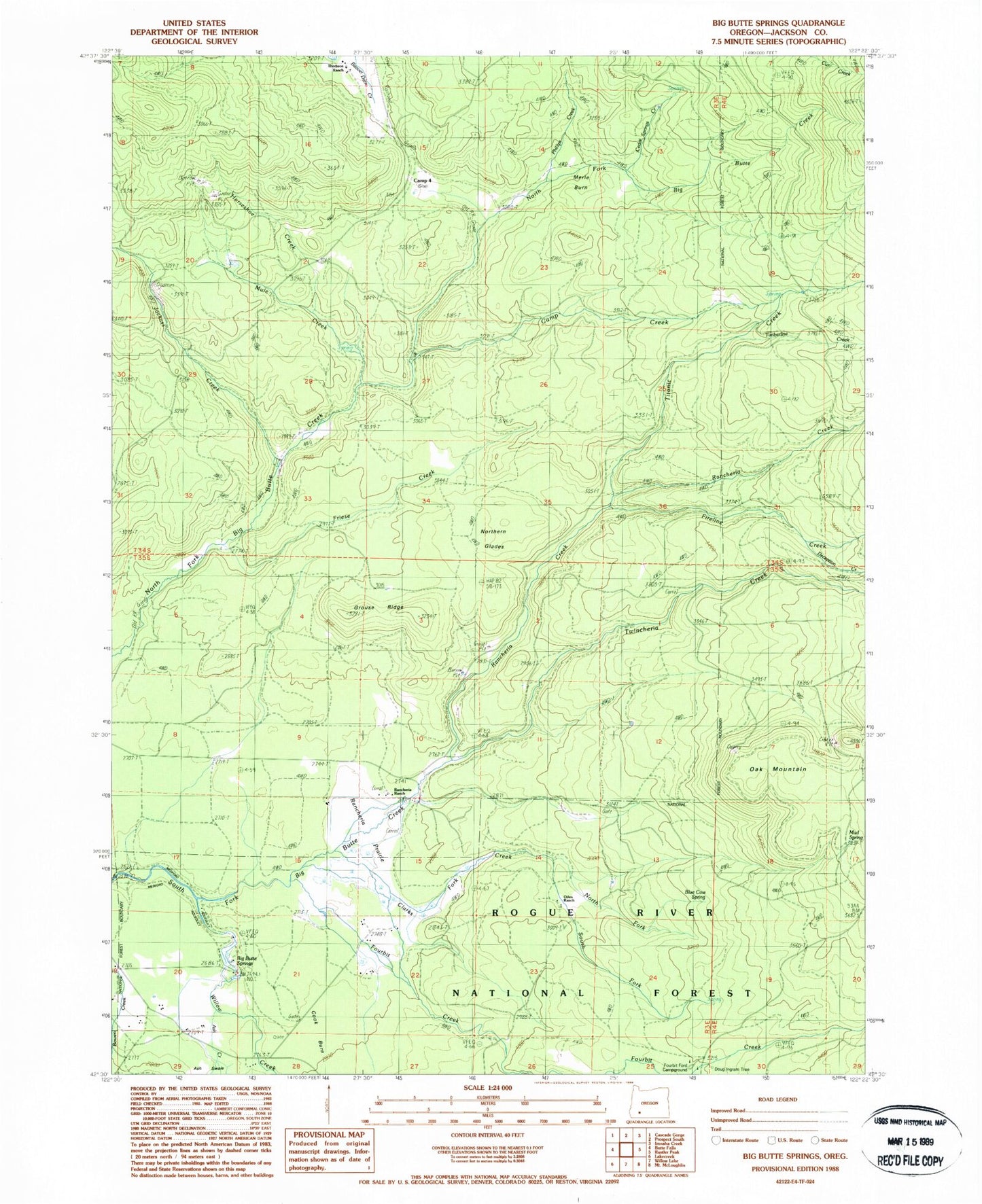
Classic USGS Big Butte Springs Oregon 7.5'x7.5' Topo Map
Couldn't load pickup availability
Historical USGS topographic quad map of Big Butte Springs in the state of Oregon. Map scale may vary for some years, but is generally around 1:24,000. Print size is approximately 24" x 27"
This quadrangle is in the following counties: Jackson.
The map contains contour lines, roads, rivers, towns, and lakes. Printed on high-quality waterproof paper with UV fade-resistant inks, and shipped rolled.
Contains the following named places: Ash Creek, Big Butte Springs, Blue Cow Spring, Camp Creek, Camp Four, Carlson Camp, Cedar Springs Creek, Clarks Fork Creek, Clement Ranch, Cook Ranch, Deception Creek, Doug Ingram Tree, East Fork Ash Creek, Fireline Creek, Fourbit Creek, Fourbit Ford, Fourbit Ford Recreation Site, Friese Creek, Goss Ranch, Grouse Ridge, Hoffman Ranch, Horseshoe Creek, Jackass Creek, Lemont Post Office, Merle Burn, Mount Pitt School, Mud Spring, Mule Creek, North Fork Clarks Fork Creek, Northern Glades, Oak Mountain, Oden Ranch, Parker, Phillips Creek, Rancheria Creek, Rancheria Prairie, Rancheria Ranch, South Fork Clarks Fork Creek, Thomson Ranch, Timberline Creek, Titanic Creek, Twincheria Creek, West Fork Ash Creek, Willow Creek


