MyTopo
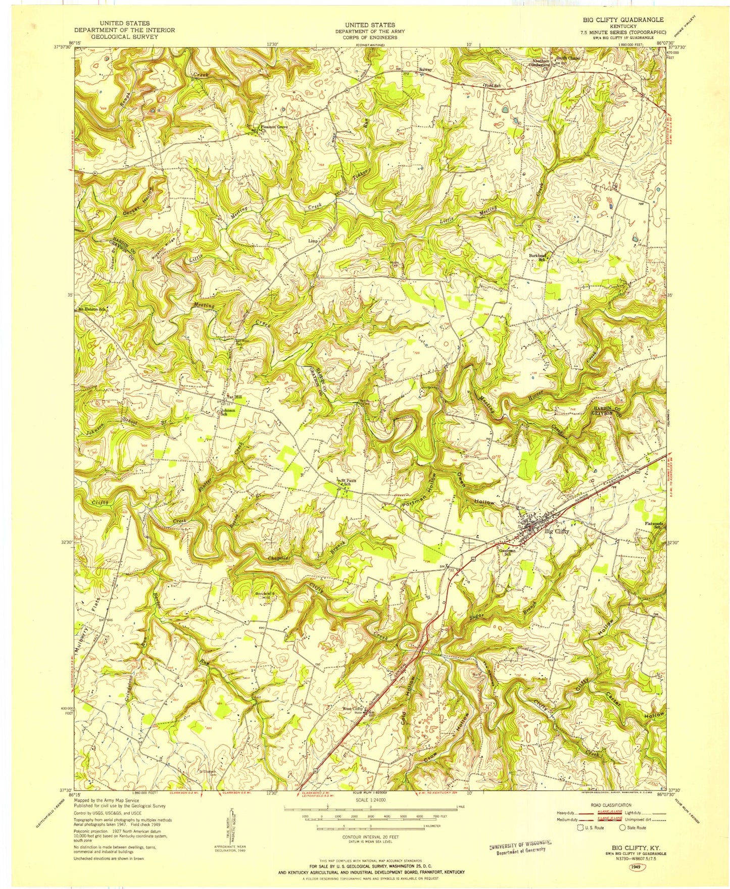
Classic USGS Big Clifty Kentucky 7.5'x7.5' Topo Map
Couldn't load pickup availability
Historical USGS topographic quad map of Big Clifty in the state of Kentucky. Map scale may vary for some years, but is generally around 1:24,000. Print size is approximately 24" x 27"
This quadrangle is in the following counties: Grayson, Hardin.
The map contains contour lines, roads, rivers, towns, and lakes. Printed on high-quality waterproof paper with UV fade-resistant inks, and shipped rolled.
Contains the following named places: Barton Run, Beaver Dam Creek, Big Clifty, Big Clifty Census Designated Place, Big Clifty Post Office, Bozier Branch, Carter Hollow, Cedar Hill Cemetery, Chapells Branch, Clarkson Division, Clifty Hollow, Cold Hollow, Crow Hollow, Decker Hollow, Double S Hill, Drane Branch, East Grayson County Fire Department, Flutter Creek, Goodman School, Green Rock Hollow, Grindstone Run, Limp, Little Meeting Creek, Mc Grew Airport, Moore Cemetery Number 1, Needham Cumberland Presbyterian Church, Owen Hollow, Petty Branch, Petty Cemetery, Pleasant Grove Church, Pleasant Grove Methodist Church Cemetery, Portman Hollow, Ripshin Ridge, Saint Elizabeth Cemetery, Saint Paul, Saint Paul Catholic Cemetery, Smith Chapel, Solway, Sugar Branch, Tar Hill, The Narrows, Tinker Run, West 84 Volunteer Fire Department Station 1, West Clifty, Western Consolidated School, ZIP Code: 42732


