MyTopo
Classic USGS Big Costilla Peak New Mexico 7.5'x7.5' Topo Map
Couldn't load pickup availability
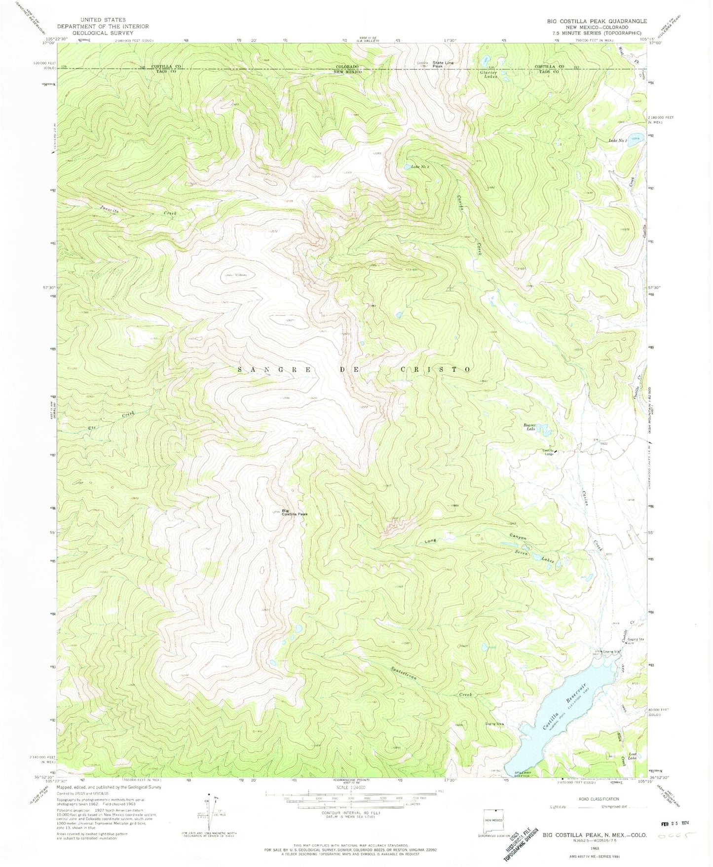
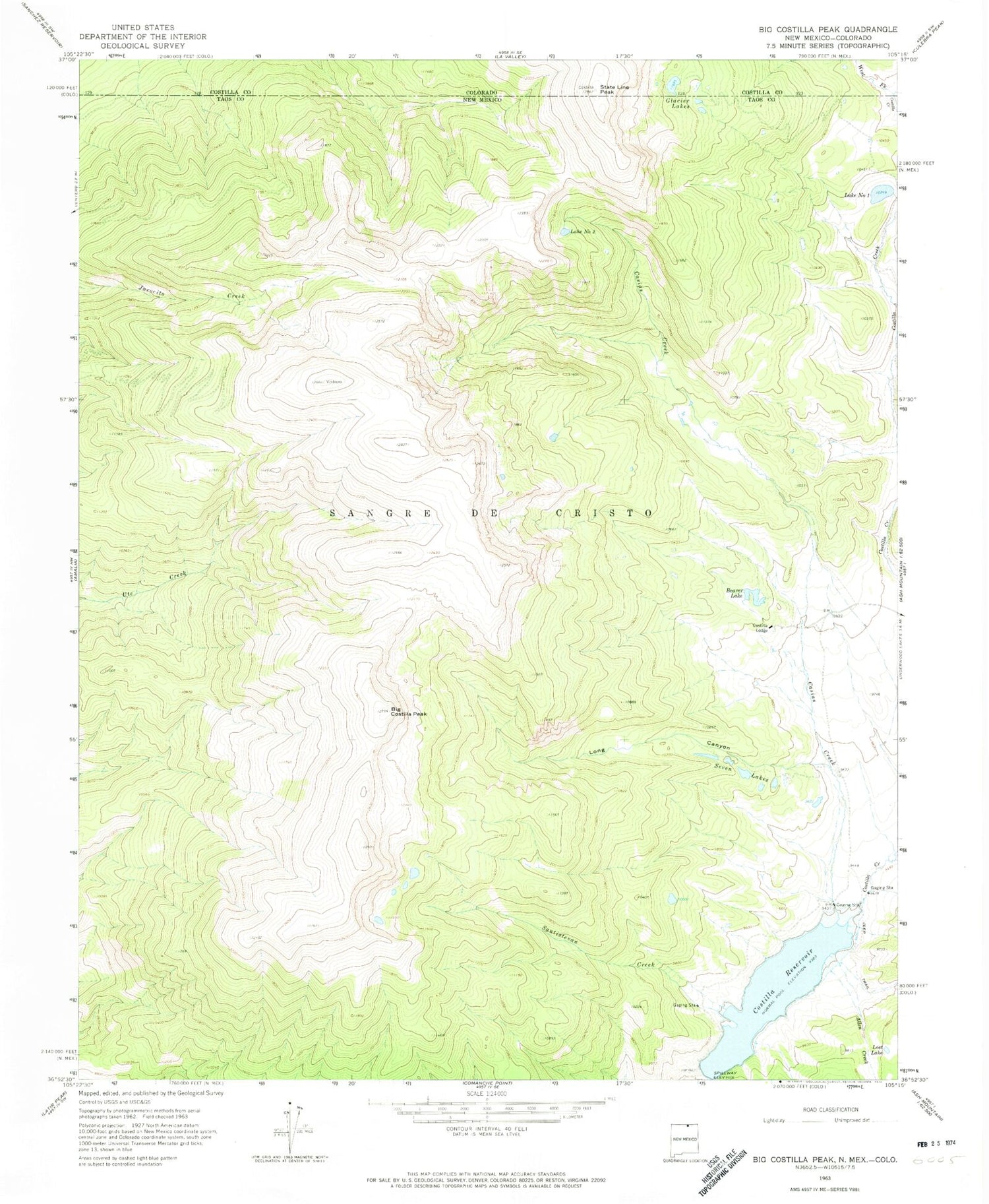
Historical USGS topographic quad map of Big Costilla Peak in the states of New Mexico, Colorado. Map scale may vary for some years, but is generally around 1:24,000. Print size is approximately 24" x 27"
This quadrangle is in the following counties: Costilla, Taos.
The map contains contour lines, roads, rivers, towns, and lakes. Printed on high-quality waterproof paper with UV fade-resistant inks, and shipped rolled.
Contains the following named places: Allen Creek, Beaver Lake, Big Costilla Peak, Casias Creek, Costilla Lodge, Costilla Reservoir, Costilla Reservoir Dam, East Fork Costilla Creek, Glacier Lakes, Lake Number One, Lake Number Two, Long Canyon, Lost Lake, Santistevan Creek, Seven Lakes, State Line Peak, West Fork Costilla Creek, ZIP Code: 87512