MyTopo
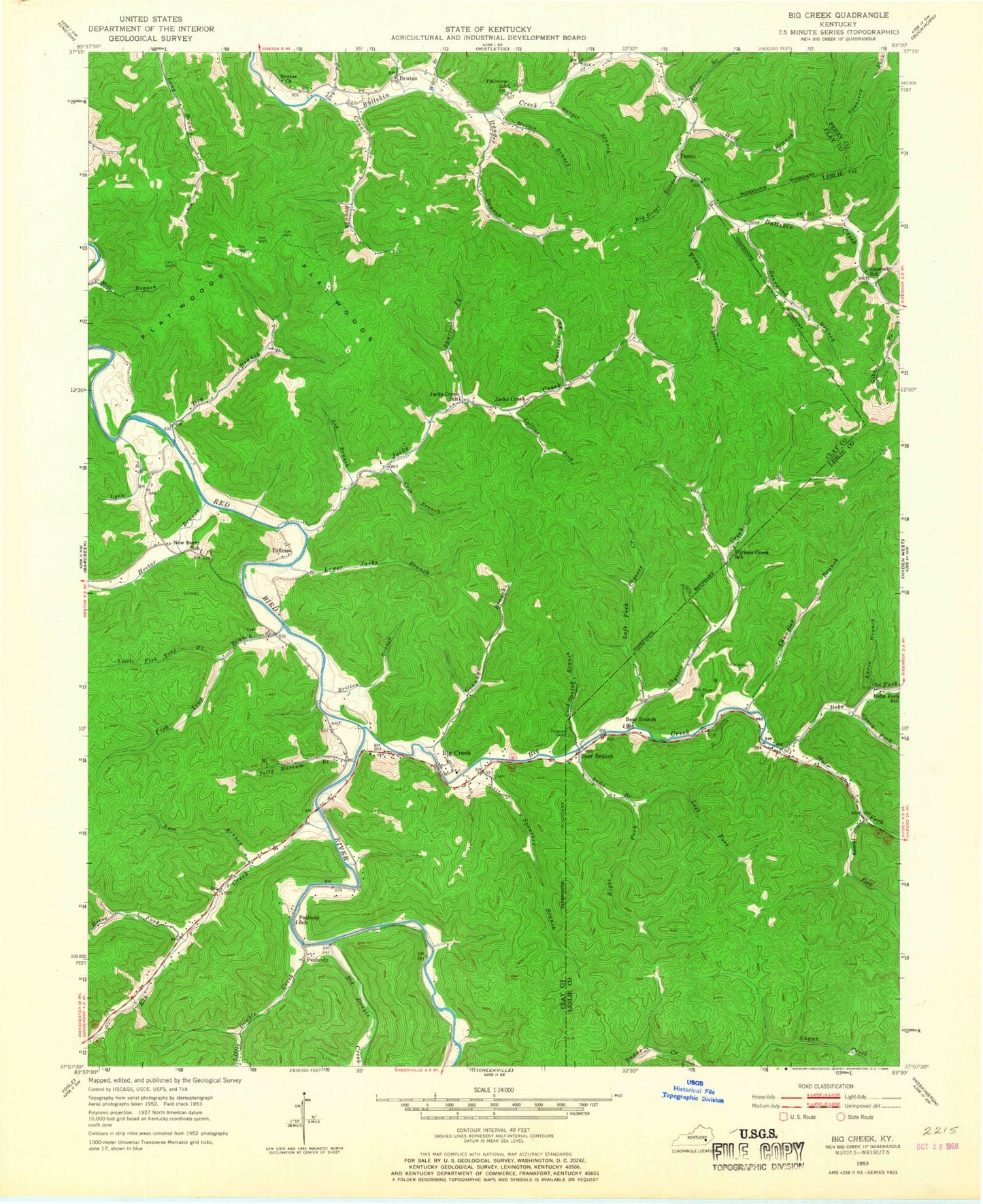
Classic USGS Big Creek Kentucky 7.5'x7.5' Topo Map
Couldn't load pickup availability
Historical USGS topographic quad map of Big Creek in the state of Kentucky. Map scale may vary for some years, but is generally around 1:24,000. Print size is approximately 24" x 27"
This quadrangle is in the following counties: Clay, Leslie, Perry.
The map contains contour lines, roads, rivers, towns, and lakes. Printed on high-quality waterproof paper with UV fade-resistant inks, and shipped rolled.
Contains the following named places: Aaron Branch, Barger Branch, Bear Branch, Bear Branch Post Office, Bear Branch School, Big Briar Branch, Big Creek, Big Creek Division, Big Creek Elementary School, Big Creek Fire and Rescue, Big Creek Institute, Big Creek Post Office, Big Creek School, Big Double Creek, Big Lick Branch, Bobs Fork, Bobs Fork School, Britton Branch, Brutus, Brutus Church, Brutus Post Office, Chandler Branch, Charley Fork Dry Branch, Cold Spring Branch, Collins Fork, Couch Fork, Crane Branch, Crib Branch, Culton Post Office, Danger Branch, Daniel Boone National Forest Redbird Ranger District, Dry Branch, Elk Creek, Eriline, Erline Post Office, Fairview School, Fish Trap Branch, Flat Woods, Grannys Branch, Hals Fork, Head of Bullskin School, Hector Branch, Henry Fork, Jacks Creek, Jacks Creek Post Office, Jacks Creek School, Left Fork Bear Branch, Left Fork Ulysses Creek, Lip Branch, Little Double Creek, Little Fish Trap Branch, Lost Branch, Lower Jacks Branch, Lucey Branch, Lynn Branch, Martin Branch, Mouth of Hector, New Berry School, New Hector Church, Newberry Hill, Otter Branch, Panco, Panco Branch, Panco Post Office, Peabody, Peabody Base Radio Tower, Peabody School, Polly Marcum Branch, Red Star, Redbird Ranger District Office, Rices Fork, Right Fork Bear Branch, Roberts Cemetery, Sams Branch, Sizerock Post Office, Sizerock School, Smithern Fork, Sourwood Branch, Spencers Branch, Spurlock Fork, Sugar Camp Branch, Trace Branch, Ulysses Creek, Ulysses Creek School, Wiles Branch, Wolf Branch, ZIP Codes: 40914, 41714


