
MyTopo
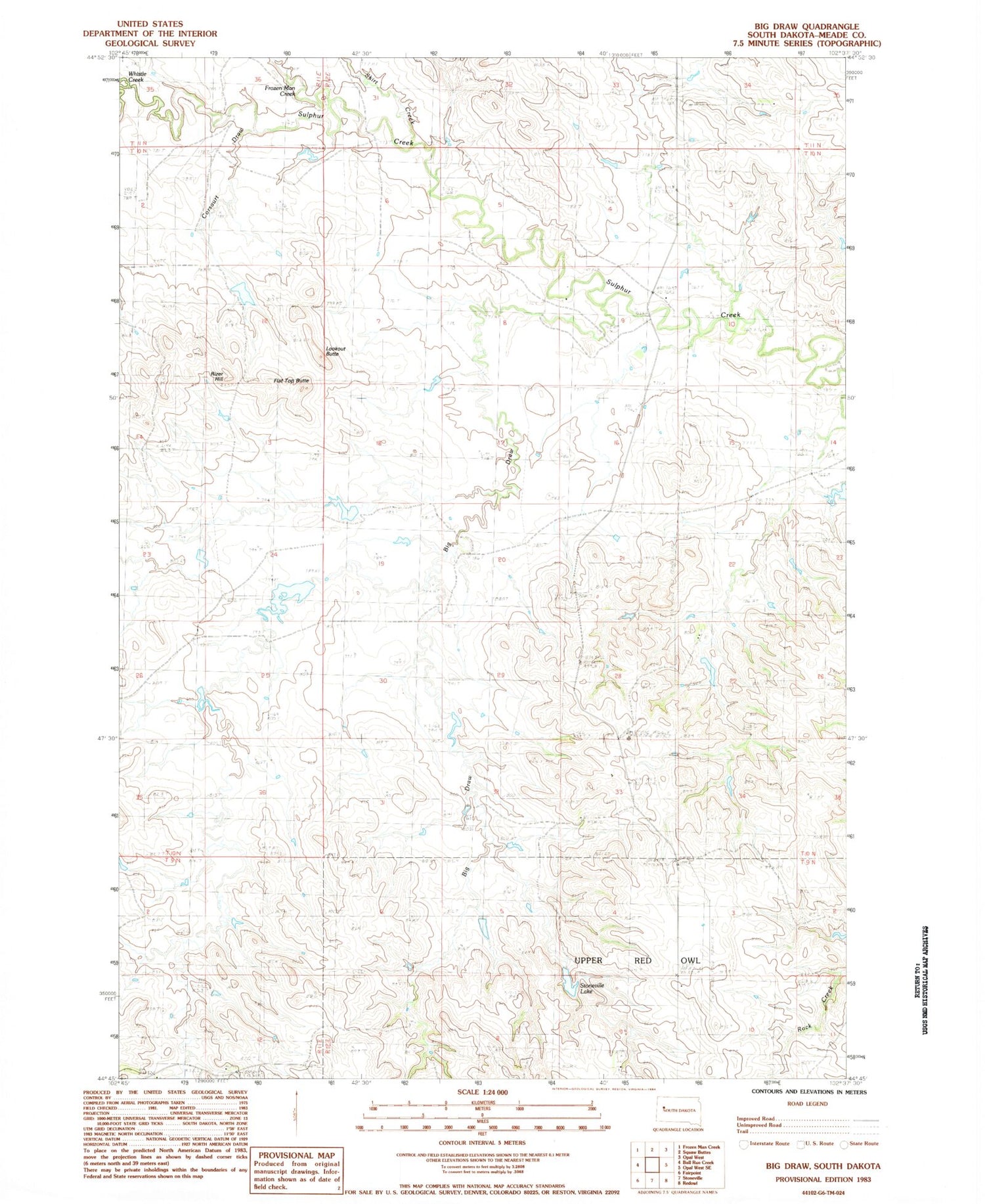
Classic USGS Big Draw South Dakota 7.5'x7.5' Topo Map
Couldn't load pickup availability
Historical USGS topographic quad map of Big Draw in the state of South Dakota. Map scale may vary for some years, but is generally around 1:24,000. Print size is approximately 24" x 27"
This quadrangle is in the following counties: Meade.
The map contains contour lines, roads, rivers, towns, and lakes. Printed on high-quality waterproof paper with UV fade-resistant inks, and shipped rolled.
Contains the following named places: Big Draw, Charles Weiss Dam Number 1, Charles Weiss Dam Number 2, Charles Weiss Dam Number 3, Corsaurt Draw, Flat Top Butte, Frozen Man Creek, Harild Mikuoik Dam, J Issacs Dam, Lookout Butte, Paul Young Dam, Raymond Hanzlik Dam, Rizer Hill, Samuelson Brothers Number 1 Dam, Samuelson Brothers Number 2 Dam, Skirt Creek, Stoneville Lake, Talley Dam, Whistle Creek


