MyTopo
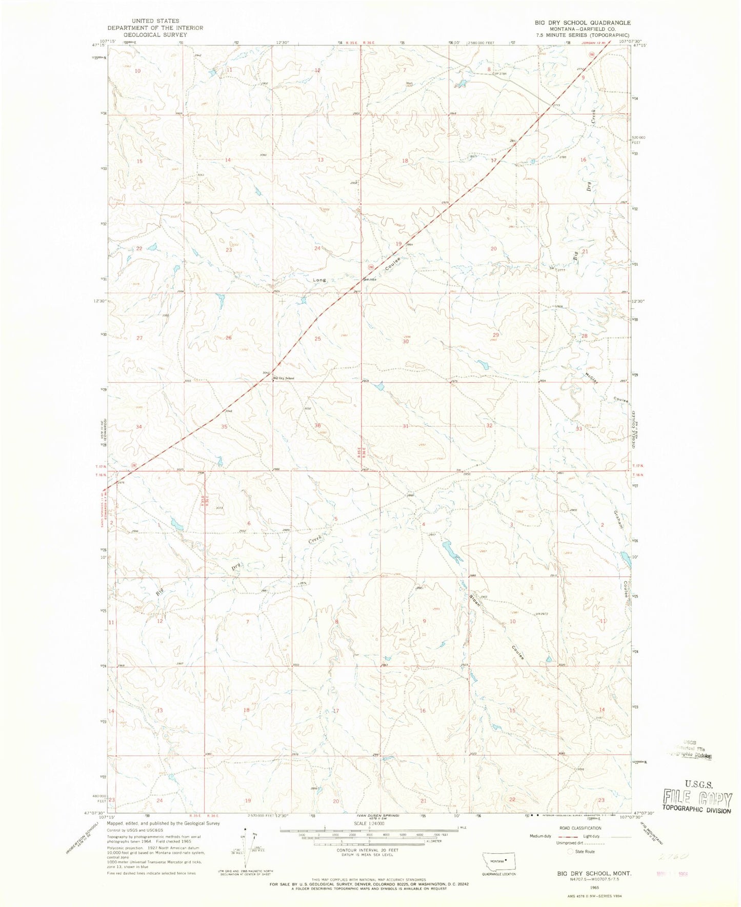
Classic USGS Big Dry School Montana 7.5'x7.5' Topo Map
Regular price
$16.95
Regular price
Sale price
$16.95
Unit price
per
Couldn't load pickup availability
Historical USGS topographic quad map of Big Dry School in the state of Montana. Map scale may vary for some years, but is generally around 1:24,000. Print size is approximately 24" x 27"
This quadrangle is in the following counties: Garfield.
The map contains contour lines, roads, rivers, towns, and lakes. Printed on high-quality waterproof paper with UV fade-resistant inks, and shipped rolled.
Contains the following named places: 16N36E11CDDD01 Well, 17N35E12CCBB01 Well, Big Dry School, Friel Post Office, Graham Coulee, Hooker Dam, Jarden Reservoir Dam, Long Coulee, McClay Coulee, School Number 1 Dam, School Number 2 Dam, Sloan Coulee, Tom Number 1 Dam